Landmark: North Branch Nature Center
City: Montpelier
Country: USA Vermont
Continent: North America
North Branch Nature Center, Montpelier, USA Vermont, North America
The North Branch Nature Center is an environmental education and conservation facility located in Montpelier, Vermont.
It encompasses a protected area of woodland, wetland, and riverfront along the North Branch of the Winooski River.
Visual Characteristics
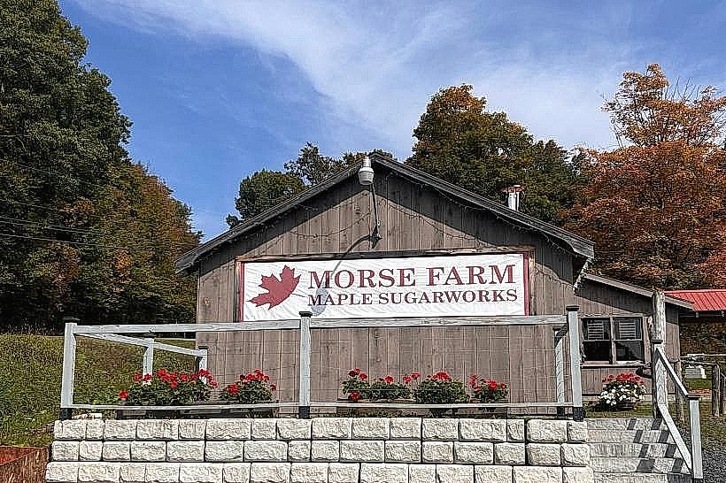
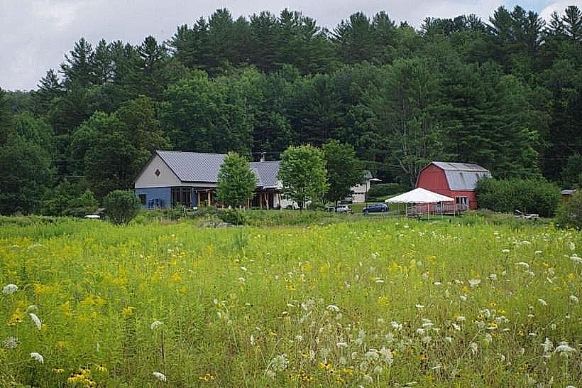
The center features a main building constructed from timber and stone, with a pitched roof. The surrounding landscape consists of deciduous forest, with a significant wetland area characterized by emergent vegetation and slow-moving water. The North Branch of the Winooski River flows through the property, with a gravelly riverbed and moderate current. Trails are primarily unpaved, consisting of packed earth and gravel.
Location & Access Logistics
The North Branch Nature Center is situated approximately 3.2 kilometers (2 miles) west of downtown Montpelier. Access is via Route 2 West. Turn north onto Elm Street, then proceed to the nature center entrance. Parking is available in a designated gravel lot at the main building. Public transport options are limited; the closest bus stop is on Route 2, requiring an additional 1.6 km (1 mile) walk to the center.
Historical & Ecological Origin
The land was acquired and preserved through a combination of private donations and state conservation efforts, with the nature center facility constructed in the late 1990s. Its purpose is to provide educational programs and serve as a site for ecological research and habitat preservation. The area's ecological origin is primarily glacial till deposits, supporting a mixed hardwood forest ecosystem and a freshwater wetland.
Key Highlights & Activities
Visitors can participate in self-guided walks on marked trails, including the River Trail and the Wetland Boardwalk. Educational exhibits are available within the main building. Birdwatching is a common activity. Seasonal programs and workshops are offered; check the center's schedule for details. Kayaking or canoeing on the North Branch is possible during periods of sufficient water flow.
Infrastructure & Amenities
Restrooms are available within the main building. Limited shaded areas are present along some of the trails. Cell phone signal (4G/5G) is generally weak to non-existent within the center's grounds. No on-site food vendors are present; visitors should bring their own provisions.
Best Time to Visit
For photography, early morning or late afternoon light provides optimal illumination of the forest and river. The best months for visiting are typically May through October, offering the most accessible trail conditions and diverse wildlife viewing opportunities. Spring (April-May) is ideal for observing migratory birds and emergent wetland flora. Autumn foliage is most pronounced in late September and early October.
Facts & Legends
A local anecdote suggests that during periods of heavy fog, the sounds of the river are amplified, leading some to believe the river itself is speaking. The center actively monitors water quality in the North Branch, contributing data to regional environmental studies.
Nearby Landmarks
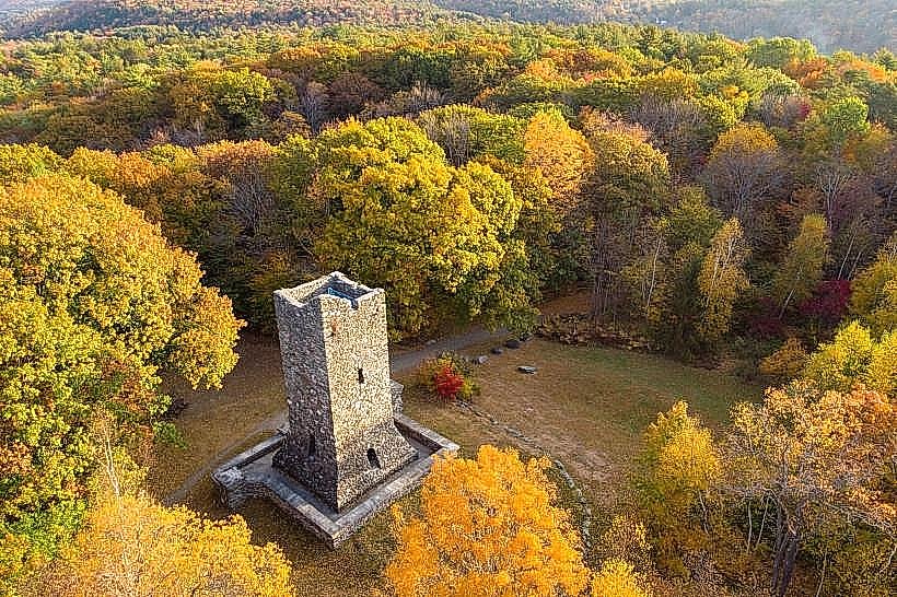
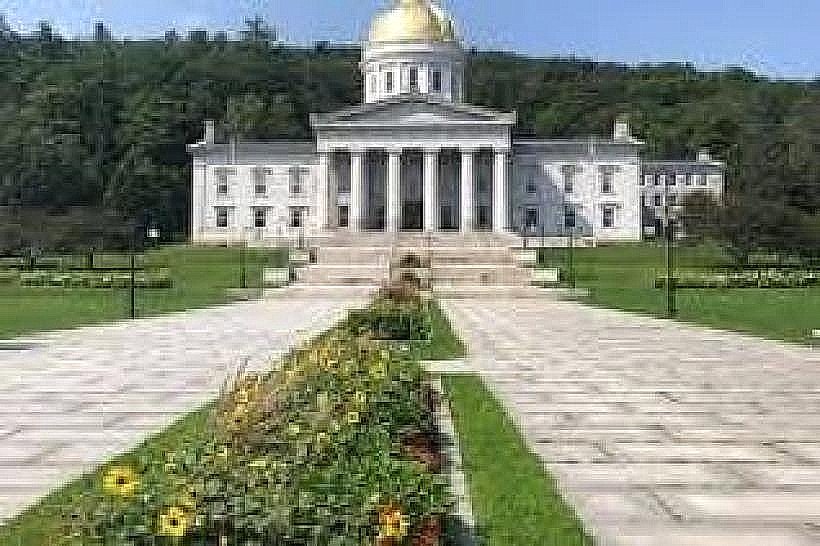
- Vermont State House (3.5km East)
- Hubbard Park (4.0km Southeast)
- Montpelier Farmers Market (3.0km East)
- North Branch Park (1.5km West)