Information
Landmark: Norwalk HarborCity: Norwalk
Country: USA Connecticut
Continent: North America
Norwalk Harbor, Norwalk, USA Connecticut, North America
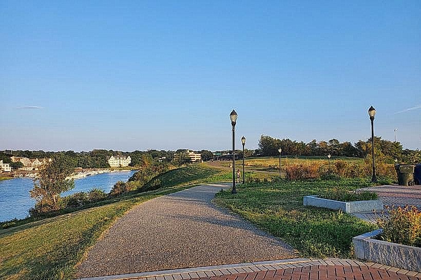
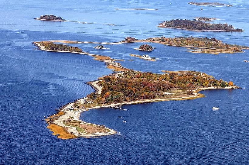
Norwalk Harbor is a significant maritime feature located in Norwalk, Connecticut, USA. It serves as a primary hub for commercial fishing, recreational boating, and ferry services connecting to the Norwalk Islands.
Visual Characteristics
The harbor's waters are typically a muted blue-grey, influenced by tidal conditions and sediment. The shoreline is characterized by a mix of industrial docks, marinas with moored vessels, and some natural marshland areas. Structures include various boat slips, pilings, and waterfront buildings housing marine-related businesses. The overall visual impression is functional and active, reflecting its working port status.
Location & Access Logistics
Norwalk Harbor is situated south of downtown Norwalk, Connecticut. Access is primarily via Interstate 95, taking Exit 14 for US-1 South (Connecticut Avenue). Continue on US-1 South for approximately 2 miles, then turn right onto Water Street. Parking is available at several municipal lots and private marina facilities, though availability can be limited during peak seasons. Public transport options include the Norwalk Transit District bus lines, with several routes serving the Water Street area. The Walk Bridge, a movable rail bridge, spans the harbor's entrance.
Historical & Ecological Origin
Norwalk Harbor's origins are tied to the indigenous peoples who utilized its resources for centuries. European settlement in the 17th century transformed it into a commercial center, particularly for shipbuilding and trade. Its ecological significance lies in its role as a tidal estuary, supporting diverse marine life and acting as a buffer zone. The harbor has undergone significant dredging and development over time to accommodate maritime traffic.
Key Highlights & Activities
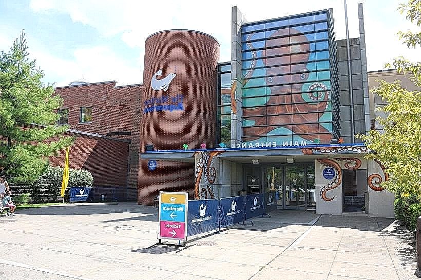
Activities include charter fishing trips, recreational sailing, and kayaking. Ferry services operate from the mainland to the Norwalk Islands, offering opportunities for exploration. The Maritime Aquarium at Norwalk is located on the harbor's edge, providing educational exhibits on local marine ecosystems. Boat tours of the harbor are also available.
Infrastructure & Amenities
Restrooms are available at the Maritime Aquarium and some marina facilities. Shade is limited to covered docks and structures within the aquarium. Cell phone signal (4G/5G) is generally strong throughout the harbor area. Food vendors and restaurants are concentrated along Water Street and within the South Norwalk district adjacent to the harbor.
Best Time to Visit
For optimal lighting for photography of the harbor and its activity, early morning (sunrise) and late afternoon (sunset) offer the most favorable conditions. The best months for visiting are typically May through October, offering milder weather for outdoor activities. Tidal charts should be consulted for specific boating or shoreline exploration plans, as water levels fluctuate.
Facts & Legends
During the American Revolutionary War, Norwalk Harbor was a strategic point. In 1779, British forces under General William Tryon raided and burned much of the town, including its waterfront, to disrupt American supply lines. A local legend speaks of a hidden cache of colonial-era artifacts supposedly buried somewhere along the harbor's less developed eastern shoreline, though no verifiable evidence supports this.
Nearby Landmarks
- The Maritime Aquarium at Norwalk (0.1km West)
- South Norwalk Historic District (0.3km North)
- Cranbury Park (2.5km Northwest)
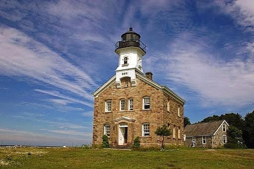
- Sheffield Island Lighthouse (2.0km Southwest, accessible by ferry)
- Oyster Shell Park (1.5km Northeast)