Landmark: Old WWII Traces
City: Wotho Atoll
Country: Marshall Islands
Continent: Australia
Old WWII Traces, Wotho Atoll, Marshall Islands, Australia
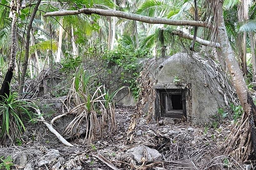
Old WWII Traces refers to remnants of World War II fortifications and equipment located on Wotho Atoll in the Marshall Islands.
These sites provide a tangible connection to the Pacific Theater of the war.
Visual Characteristics
Remnants include concrete bunkers, gun emplacements, and scattered metal debris, often partially overgrown with vegetation. The concrete structures are weathered and show signs of erosion. Metal components exhibit rust and degradation due to the marine environment.
Location & Access Logistics
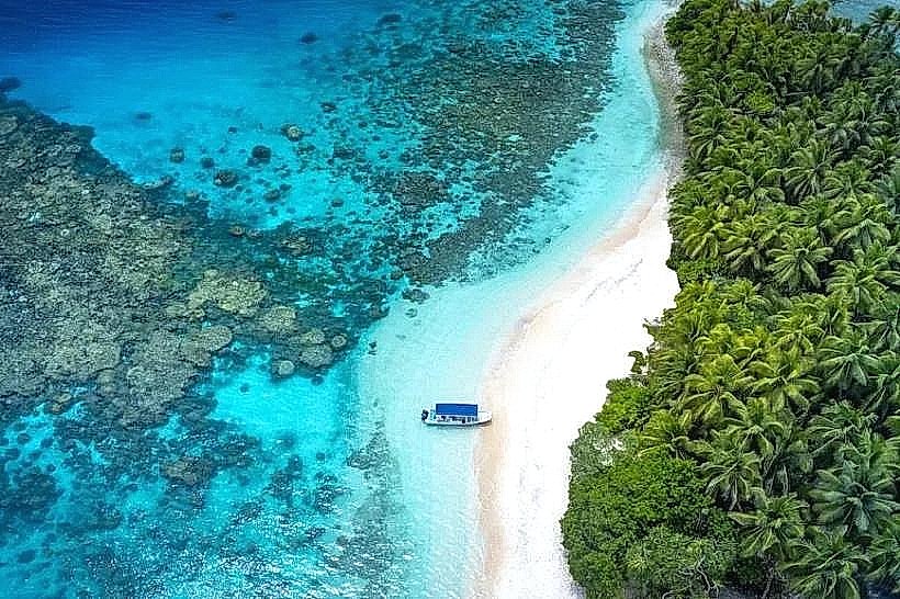
Wotho Atoll is accessible primarily by boat. There are no regular ferry services. Access typically requires chartering a vessel from Majuro Atoll, which is approximately 150 kilometers to the southeast. The journey by boat can take 8-12 hours depending on sea conditions. There is no dedicated parking; vessels anchor offshore and small boats are used for landing on the atoll's islets. No public transport operates to Wotho Atoll.
Historical & Ecological Origin
These traces are the result of Japanese and later American military presence during World War II. The atoll served as a strategic location in the Pacific. The atoll itself is a coral formation, characteristic of the Marshall Islands' geography, with a lagoon surrounded by a ring of islets.
Key Highlights & Activities
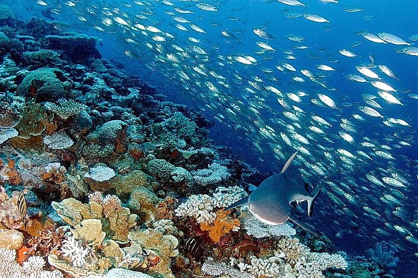
Exploration of the concrete defensive structures is the primary activity. Visitors can observe the layout of former military positions. Documenting the remaining artifacts and the natural reclamation of these sites is also possible. Snorkeling and diving in the surrounding lagoon may reveal submerged debris, though this is not guaranteed.
Infrastructure & Amenities
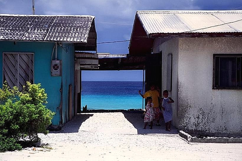
There are no permanent infrastructure or amenities on Wotho Atoll. Visitors must bring all necessary supplies, including food, water, and shelter. Restroom facilities are non-existent. Cell phone signal is unreliable and generally unavailable. No food vendors are present.
Best Time to Visit
The dry season, from January to April, offers the most favorable weather conditions with less rainfall and calmer seas. The best time of day for photography is generally during the morning or late afternoon when the sun angle is lower, providing softer light and reducing glare on the water and metal surfaces.
Facts & Legends
A specific historical detail is the presence of a Japanese Type 96 15 cm howitzer gun emplacement, which remains partially intact. Local lore sometimes speaks of unexploded ordnance, though official surveys have not confirmed widespread hazards. Visitors should exercise caution and avoid disturbing any potentially unstable structures.
Nearby Landmarks
- Ujelang Atoll (15km Southwest)
- Enewetak Atoll (120km Northwest)
- Bikini Atoll (150km Northwest)
- Rongelap Atoll (180km Northwest)