Landmark: Ovia River
City: Benin City
Country: Nigeria
Continent: Africa
Ovia River, Benin City, Nigeria, Africa
The Ovia River is a significant waterway located within the metropolitan area of Benin City, Nigeria. It serves as a vital ecological and cultural feature of the region.
Visual Characteristics
The Ovia River exhibits a brown to muddy brown water color, typical of West African rivers carrying sediment. Its banks are lined with dense tropical vegetation, including various species of trees, shrubs, and grasses. The river's width varies seasonally, generally ranging from 20 to 50 meters. During the dry season, exposed sandbanks may become visible.
Location & Access Logistics
The Ovia River flows through the eastern and southern parts of Benin City. Access points are primarily via local roads branching off the Benin-Sapele Road (A1). Specific access points can be reached by navigating local unpaved tracks from communities such as Ugbighogho or Okhuaihe. Public transport to the general vicinity is available via local buses (danfo) heading towards Sapele, with disembarkation at points closest to the river. Parking is informal and available on cleared patches of land near access points.
Historical & Ecological Origin
The Ovia River is a natural river system, part of the Niger Delta basin. Its formation is a result of long-term fluvial erosion and deposition processes characteristic of the tropical rainforest environment. Historically, the river has been a source of water, transportation, and sustenance for communities in the Benin Kingdom for centuries.
Key Highlights & Activities
Fishing is a primary activity along the Ovia River, undertaken by local residents. Boat trips are possible during periods of sufficient water depth, offering views of the riparian vegetation. Observation of local birdlife is also a potential activity.
Infrastructure & Amenities
Formal infrastructure is minimal. Basic fishing shelters may be present along the banks. Restrooms and designated food vendors are generally absent directly at the river access points, though they can be found in nearby settlements. Cell phone signal (4G/5G) is typically available in most areas along the river, depending on the specific location and network provider.
Best Time to Visit
The best time for observing the river's natural state is during the dry season (November to March), when water levels are lower and vegetation is less dense, potentially revealing more of the riverbanks. For photography, early morning and late afternoon offer softer light conditions. High tide is not a significant factor for access or activity on this river.
Facts & Legends
The Ovia River is associated with local folklore and spiritual beliefs within the Benin Kingdom. It is sometimes considered a sacred river, with specific areas believed to be inhabited by water spirits. Local traditions often involve rituals performed at the river for blessings or appeasement.
Nearby Landmarks
- University of Benin (3.5km West)
- Ogba Zoo and Nature Park (4.2km Northwest)
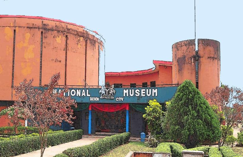
- Benin City National Museum (6.1km West)
- Emotan Garden (5.8km West)
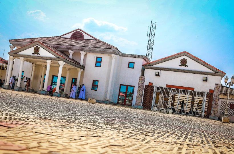
- Edo State Government House (6.5km West)