Information
Landmark: Parque Nacional de Bahía de NaranjoCity: Holguin
Country: Cuba
Continent: North America
Parque Nacional de Bahía de Naranjo, Holguin, Cuba, North America
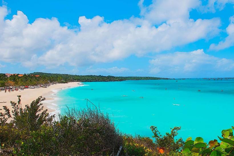
Parque Nacional de Bahía de Naranjo is a protected marine and terrestrial area located on the northern coast of Holguín Province, Cuba.
This national park encompasses a bay, several cays, and a portion of the mainland coastline, serving as a critical habitat for diverse flora and fauna.
Visual Characteristics
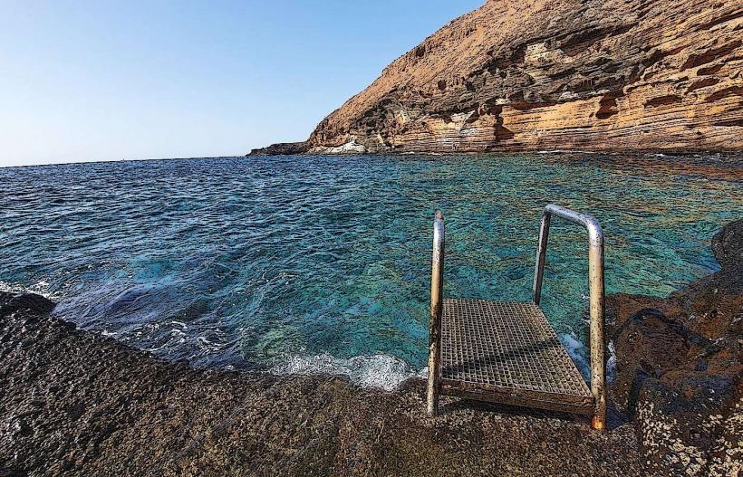
The bay itself is characterized by clear, turquoise waters with visible coral formations in shallower areas. The coastline features mangrove forests and sandy beaches. The cays are low-lying, covered in dense tropical vegetation, primarily palm trees and shrubs. Rock formations are present along the shorelines of the mainland and some cays.
Location & Access Logistics
The park is situated approximately 30 kilometers north of the city of Holguín. Access is primarily via the Carretera de Guardalavaca, turning onto local roads leading to the park entrance. Parking is available at designated areas near the main visitor facilities. Public transport options are limited; taxi services from Holguín or Guardalavaca are the most common method of arrival. Boat transfers to the cays are available from the marina within the park.
Historical & Ecological Origin
Ecologically, the area is classified as a coastal marine ecosystem, with significant mangrove wetlands and coral reef systems. The formation of the cays is attributed to Holocene sea-level rise and sediment deposition. Historically, the area has been utilized by local communities for fishing and as a natural harbor.
Key Highlights & Activities
Activities include snorkeling and diving in designated reef areas, boat tours around the bay and to the cays, and observing marine life. Hiking trails are present on the mainland section of the park, offering views of the coastline and vegetation. Visitors can also engage in birdwatching and explore the mangrove ecosystems.
Infrastructure & Amenities
Basic infrastructure includes a marina, a restaurant, and restrooms. Shade is available in designated picnic areas and under natural tree cover. Cell phone signal (primarily 2G/3G) can be intermittent within the park, especially on the cays. Food vendors are typically located at the main visitor center and marina area.
Best Time to Visit
The best time for clear water visibility for snorkeling and diving is during the dry season, from November to April. The morning hours offer optimal lighting for photography. High tide is generally preferred for accessing certain shallow reef areas.
Facts & Legends
A local legend suggests that the cays were once used by pirates to hide their treasures, though no verifiable evidence supports this claim. The park is a significant breeding ground for several species of sea turtles.
Nearby Landmarks
- Playa Esmeralda (2.5km Southwest)
- Guardalavaca Beach (6km Southwest)
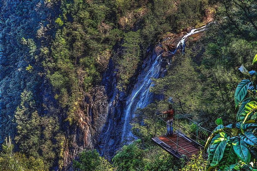
- Chorro de Maítin (12km Southeast)
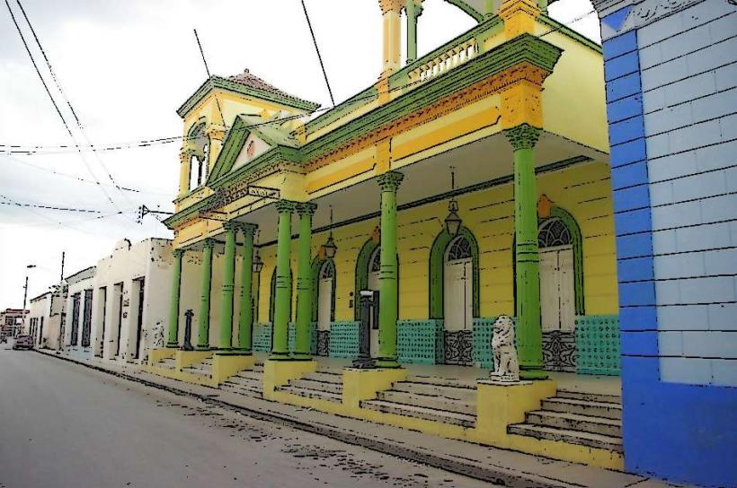
- Cayo Bariay National Monument (15km Northwest)