Information
Landmark: Parque Nacional del ChicamochaCity: Bucaramanga
Country: Colombia
Continent: South America
Parque Nacional del Chicamocha, Bucaramanga, Colombia, South America
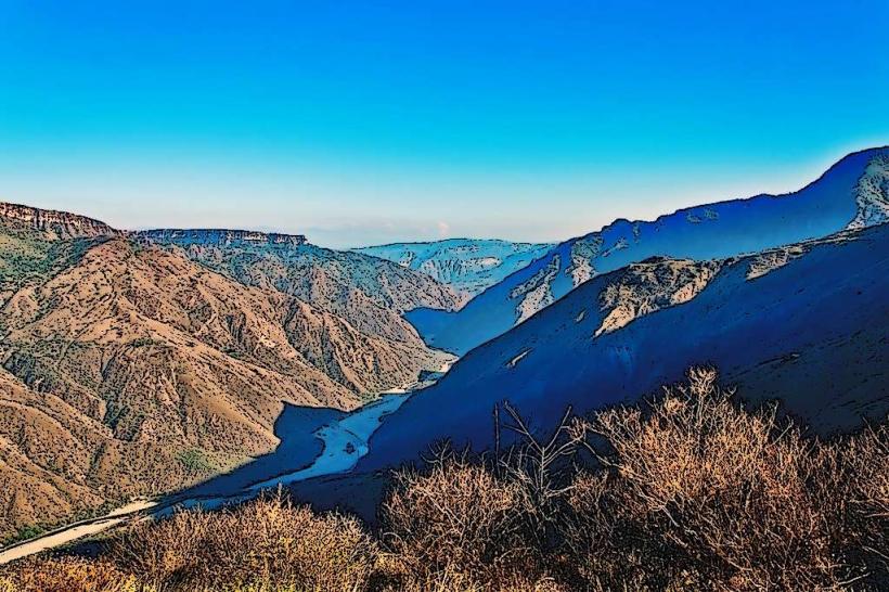
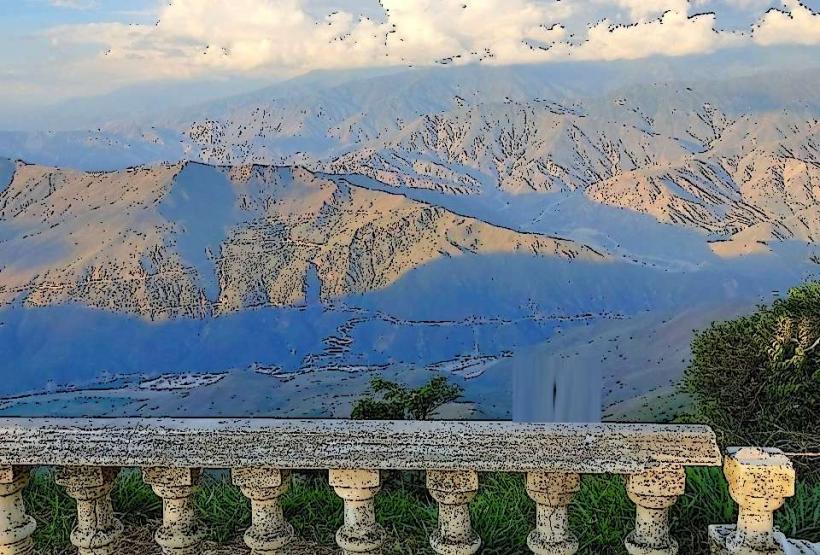
Parque Nacional del Chicamocha is a large natural park situated in the Santander department of Colombia, approximately 50 kilometers north of Bucaramanga.
Visual Characteristics
The park encompasses a significant portion of the Chicamocha Canyon, characterized by arid, scrubland vegetation and exposed rock formations. The canyon walls exhibit layered sedimentary rock in shades of ochre, brown, and grey. The Chicamocha River flows at the canyon's base, appearing as a thin, winding ribbon from higher elevations. The park features a large monument to the Santander region, constructed from concrete and painted in regional colors.
Location & Access Logistics
Access to Parque Nacional del Chicamocha is via the national highway Ruta 45A, connecting Bucaramanga to San Gil. The park entrance is approximately 50 kilometers from Bucaramanga. Ample parking is available at the main entrance and designated viewing areas. Public transport options include inter-municipal buses traveling between Bucaramanga and San Gil that stop near the park entrance; passengers may need to arrange local transport or a short walk from the highway.
Historical & Ecological Origin
The Chicamocha Canyon is a geological formation resulting from millions of years of erosion by the Chicamocha River and tectonic activity. The park was established to preserve this significant natural landscape and promote ecotourism. The monument was erected to commemorate the bicentennial of the Santander department.
Key Highlights & Activities
Activities include riding the cable car system (teleférico) across the canyon for panoramic views. Hiking trails are available, with varying difficulty levels. Visitors can observe the canyon's geology and arid ecosystem. The park also features a small zoo with local fauna and areas for paragliding (weather permitting).
Infrastructure & Amenities
Restrooms are available at the main entrance and at various points within the park, including near the cable car stations. Shaded areas are provided at viewing platforms and rest stops. Cell phone signal (4G) is generally available in most areas of the park. Food vendors and restaurants are located at the main entrance and at the upper cable car station.
Best Time to Visit
The best time of day for photography is generally late afternoon, when the low-angle sun accentuates the canyon's topography. The dry season, from December to March and July to August, offers the most favorable weather conditions with minimal rainfall. The park is accessible year-round.
Facts & Legends
A local legend suggests that the canyon was formed by a giant serpent that dug its way through the earth. A verified historical fact is that the canyon is one of the largest in South America, measuring approximately 230 kilometers in length and up to 2 kilometers in depth.
Nearby Landmarks
- San Gil (Adventure Tourism Capital) - 15km Southwest
- Guanentá Canyon - 20km Southwest
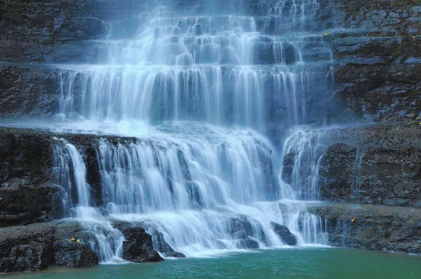
- Pescaderito Waterfalls - 25km Southwest
- La Mesa de Los Santos - 10km East