Landmark: Peligre Reservoir
City: Hinche
Country: Haiti
Continent: North America
Peligre Reservoir, Hinche, Haiti, North America
Peligre Reservoir is a large artificial lake located in the central plateau region of Haiti, near the city of Hinche.
It serves as Haiti's largest artificial lake and a significant source of hydroelectric power.
Visual Characteristics
The reservoir's surface area varies seasonally but can cover up to 360 square kilometers. The surrounding terrain consists of rolling hills and agricultural land. Water color is typically a muddy brown due to sediment runoff, especially during the rainy season. The shoreline is irregular, with areas of exposed mudflats and dense vegetation in higher sections.
Location & Access Logistics
Peligre Reservoir is situated approximately 50 kilometers northwest of Port-au-Prince. Access is primarily via Route Nationale 1 (RN1) north from Port-au-Prince, then transitioning to secondary roads towards Mirebalais and subsequently Hinche. The final approach to the dam and reservoir area involves unpaved or poorly maintained local roads. Parking is available at designated points near the dam structure, though it is informal and unsupervised. Public transport to the reservoir itself is limited; buses operate between major cities, requiring onward travel via shared taxis or motorcycles.
Historical & Ecological Origin
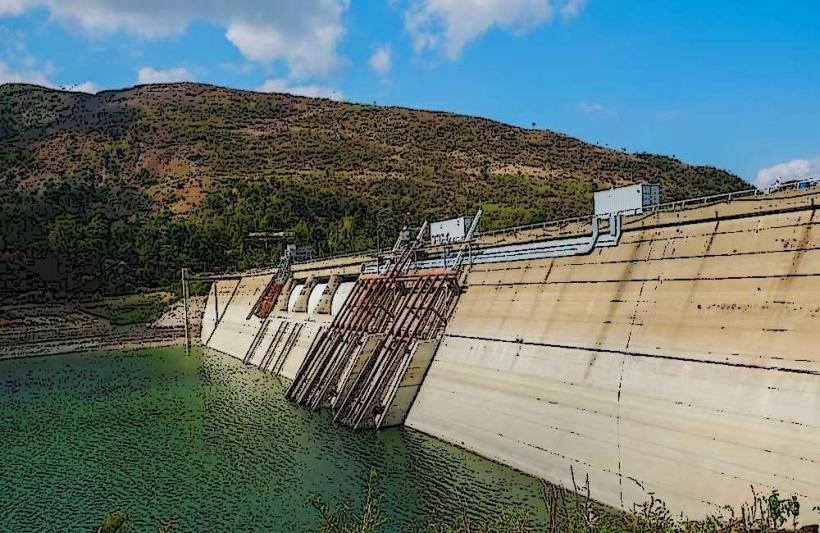
The Peligre Dam was constructed between 1952 and 1956 by the U.S. Army Corps of Engineers. Its primary purpose was to control flooding from the Artibonite River and to generate hydroelectric power for the nation. The reservoir was formed by impounding the waters of the Artibonite River behind the dam.
Key Highlights & Activities
Observation of the Peligre Dam structure is a primary activity. Boat tours on the reservoir are sometimes available, depending on local operators and water levels. Fishing is practiced by local communities. Hiking in the surrounding hills offers views of the reservoir.
Infrastructure & Amenities
Basic restroom facilities may be present near the dam, but their condition is variable. Shade is limited to natural vegetation or small, informal vendor stalls. Cell phone signal (2G/3G) is generally available in the vicinity of the dam, but 4G/5G coverage is inconsistent. Food vendors selling local snacks and drinks are often present near the dam.
Best Time to Visit
The dry season, from November to April, offers more stable road conditions and clearer water visibility. The best time of day for photography is generally in the late afternoon when the sun is lower, providing softer light on the dam and surrounding landscape. High water levels, typically after the rainy season (September-October), offer the most expansive views of the reservoir.
Facts & Legends
A significant amount of sediment has accumulated in the reservoir since its construction, reducing its storage capacity and hydroelectric output over time. Local folklore sometimes speaks of spirits inhabiting the deeper parts of the reservoir.
Nearby Landmarks
- Peligre Dam (0.1km North)
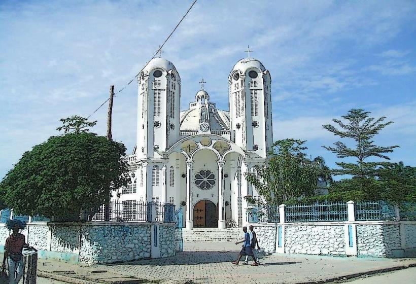
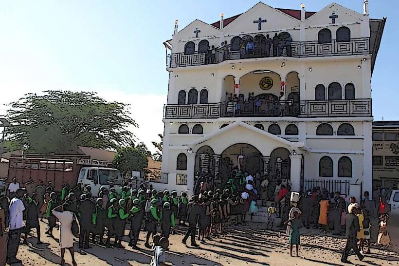
- Hinche City Center (15km Northeast)
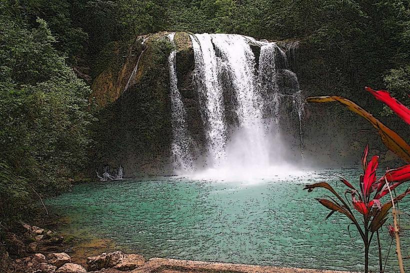
- Bassin Bleu (25km West)
- Fort des Platons (30km Southwest)