Landmark: Peruvian Andes
City: Huancayo
Country: Peru
Continent: South America
Peruvian Andes, Huancayo, Peru, South America
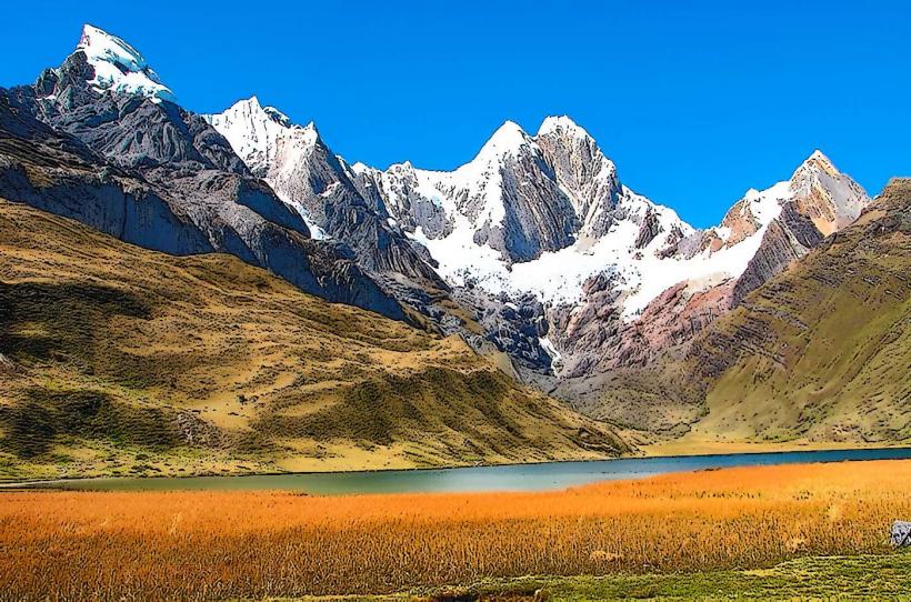
The Peruvian Andes near Huancayo, Peru, encompass a significant portion of the central Andean mountain range. This region is characterized by high-altitude plateaus and rugged mountain terrain.
Visual Characteristics
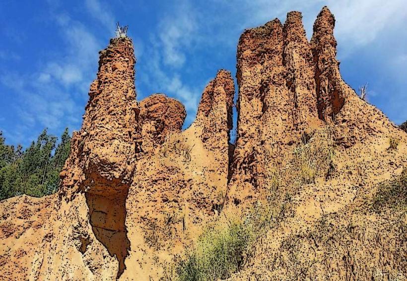
The landscape consists of steep, rocky slopes with elevations typically exceeding 3,000 meters. Vegetation is sparse at higher altitudes, dominated by hardy grasses and shrubs adapted to arid conditions. Lower slopes may feature agricultural terraces. Rock formations are primarily sedimentary and metamorphic, with exposed granite in some areas. Water bodies, where present, are typically glacial meltwater streams and lakes, often with a grey or turquoise hue.
Location & Access Logistics
Huancayo is situated in the Mantaro Valley. Access to the surrounding Andes is primarily via Carretera Central (National Route PE-22), which connects Huancayo to Lima and other regional centers. Local transport options include shared taxis (colectivos) and buses that service smaller mountain communities. Driving from Huancayo city center to accessible viewpoints or trailheads can take 30 minutes to 2 hours, depending on the specific destination. Parking is generally available in designated areas near trailheads or villages, though it can be unpaved.
Historical & Ecological Origin
The Andes mountain range is a result of tectonic plate collision, specifically the subduction of the Nazca Plate beneath the South American Plate, a process ongoing for millions of years. The high-altitude ecosystems are classified as Puna grassland and high Andean desert, adapted to low oxygen, intense solar radiation, and significant diurnal temperature variations. Pre-Inca and Inca civilizations utilized these areas for agriculture, mining, and strategic settlements, evidenced by ancient terraces and ruins.
Key Highlights & Activities
Hiking is a primary activity, with trails ranging from moderate day hikes to multi-day treks. Observation points offer panoramic views of the valleys and peaks. Photography is facilitated by the dramatic light conditions at sunrise and sunset. Birdwatching is possible, with species adapted to high-altitude environments. Visiting local Quechua communities provides insight into traditional Andean life.
Infrastructure & Amenities
Basic infrastructure is limited in remote areas. In towns and villages near Huancayo, small shops may offer snacks and water. Restrooms are typically found in villages or at designated tourist stops. Cell phone signal (2G/3G) is intermittent and often unavailable at higher elevations or in remote valleys. Shade is scarce in open Puna areas; natural shelters may be found in rock formations or small groves of trees in lower valleys.
Best Time to Visit
The dry season, from May to October, offers the most stable weather conditions with clear skies. The best time of day for photography is generally early morning or late afternoon when the sun's angle creates pronounced shadows and highlights the terrain. High altitudes require acclimatization; therefore, early morning starts for hikes are recommended to allow ample time for ascent and descent before dusk.
Facts & Legends
The Mantaro Valley, within which Huancayo lies, is considered one of the most important agricultural regions of Peru. Local legends often speak of mountain spirits (Apus) that protect the peaks and valleys, with offerings sometimes made to ensure safe passage or good harvests.
Nearby Landmarks
- Laguna de Paca (15km Northwest)
- Nevado Huaytapallana (25km Northeast)
- Complejo Arqueológico de Wari (20km Southwest)
- Torre Torre (5km West)
- Convento de Santa Rosa de Ocopa (10km South)