Information
Landmark: Pigeon Island National ParkCity: Gros Islet
Country: Saint Lucia
Continent: North America
Pigeon Island National Park, Gros Islet, Saint Lucia, North America
Pigeon Island National Park is a protected area located off the northwest coast of Saint Lucia, near the town of Gros Islet.
This 44-acre island, now connected to the mainland by a causeway, preserves historical ruins and diverse natural habitats.
Visual Characteristics
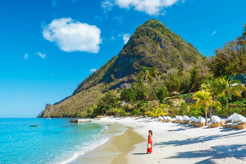
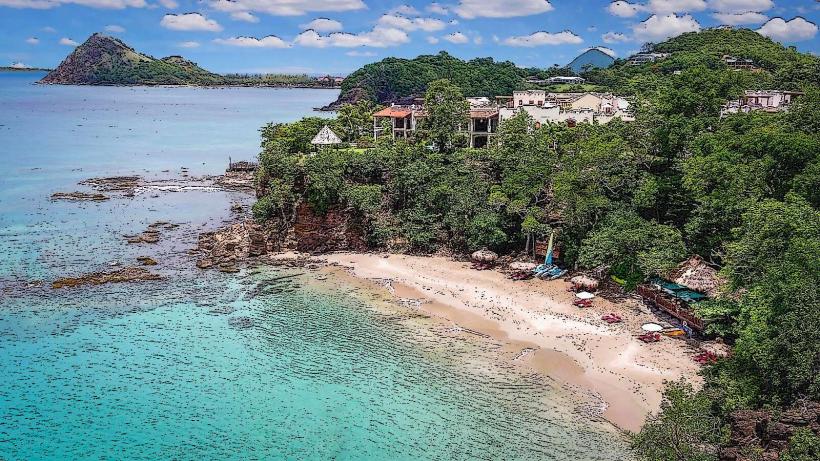
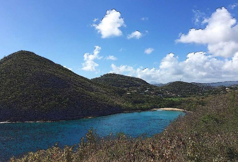
The island features a mix of dry tropical forest and coastal scrub. Prominent geological features include two peaks, the higher being Signal Peak at 85 meters (279 feet). Remnants of military fortifications, constructed from local stone, are visible across the landscape. The coastline consists of sandy beaches and rocky outcrops.
Location & Access Logistics
Pigeon Island National Park is situated at the northern tip of Saint Lucia, approximately 8 kilometers (5 miles) north of Castries. Access is via the main coastal road, the Rodney Bay Road, which leads directly to the park entrance and parking facilities. Public bus route number 1A operates frequently from Castries to Gros Islet and passes the park entrance. A causeway connects the island to the mainland, allowing pedestrian and vehicular access.
Historical & Ecological Origin
Historically, Pigeon Island served as a military base for the British during conflicts with the French in the 18th century. Fortifications were built to provide strategic observation points. The island's ecological origin is primarily limestone, with some volcanic influence. It is classified as a dry tropical forest ecosystem, supporting a variety of plant and animal species adapted to arid conditions.
Key Highlights & Activities
Activities include hiking to the summit of Signal Peak for panoramic views, exploring the ruins of Fort Rodney and other military structures, and swimming at the designated beaches. Birdwatching is also a common activity, with several species of migratory and resident birds present. Snorkeling is possible in the clear waters surrounding the island.
Infrastructure & Amenities
The park provides restroom facilities and shaded picnic areas. There are food and beverage vendors located near the main entrance and beach areas. Cell phone signal (4G/5G) is generally available within the park boundaries.
Best Time to Visit
The best time of day for photography, particularly of the fortifications and surrounding coastline, is in the late afternoon when the light is softer. The driest months, offering the most pleasant weather for outdoor activities, are typically from December to May. There are no specific tide requirements for most activities, though beach access can be affected by rough seas during certain periods.
Facts & Legends
A notable historical oddity is the presence of the ruins of Admiral Rodney's headquarters, which offer insight into the island's military past. A local legend suggests that the island was once inhabited by a one-legged pirate named Jambe de Bois, though this is unsubstantiated.
Nearby Landmarks
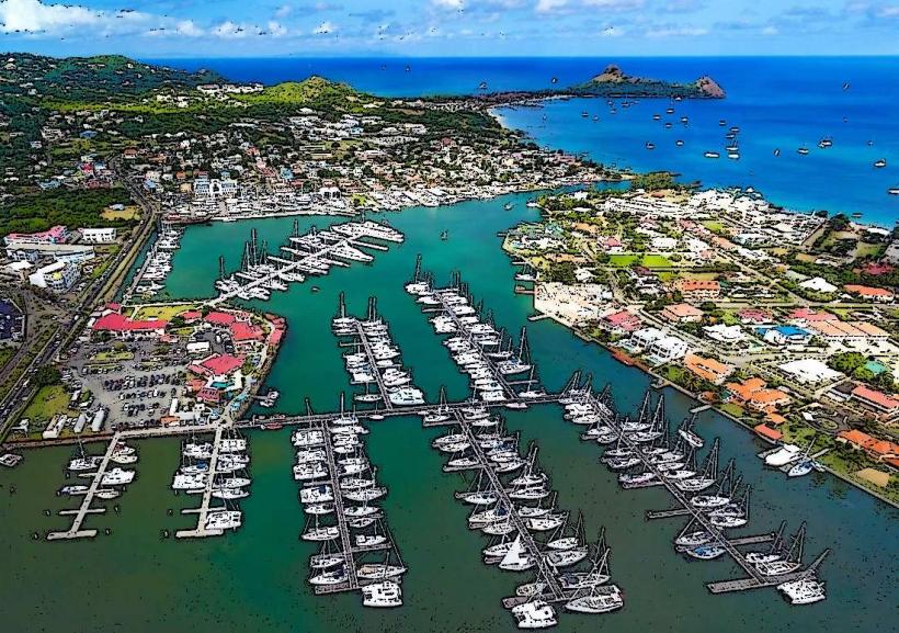
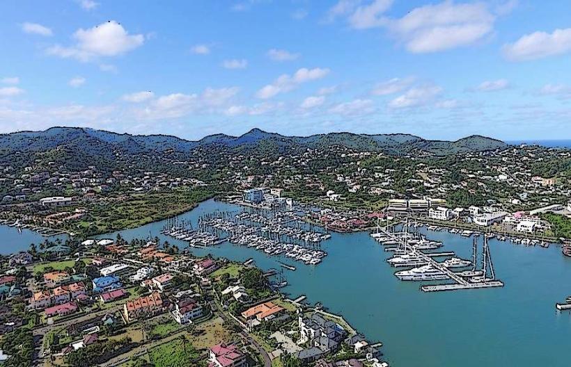
- Rodney Bay Marina (0.8km South)
- Reduit Beach (1.2km South)
- Gros Islet Town (2.5km South)
- Cap Maison (3.0km Northwest)
- Fort Charlotte (4.5km Southwest)