Landmark: Pilot Peak
City: West Wendover
Country: USA Nevada
Continent: North America
Pilot Peak, West Wendover, USA Nevada, North America
Pilot Peak is a prominent mountain located in the western United States, situated on the border between Nevada and Utah.
It is a significant geological feature in the Great Salt Lake Desert region.
Visual Characteristics
Pilot Peak rises to an elevation of 10,716 feet (3,266 meters). Its slopes are characterized by scree fields and sparse vegetation, primarily consisting of sagebrush and grasses at lower elevations, transitioning to alpine tundra at higher altitudes. The peak is composed of sedimentary rock, predominantly limestone and shale, with visible geological strata.
Location & Access Logistics
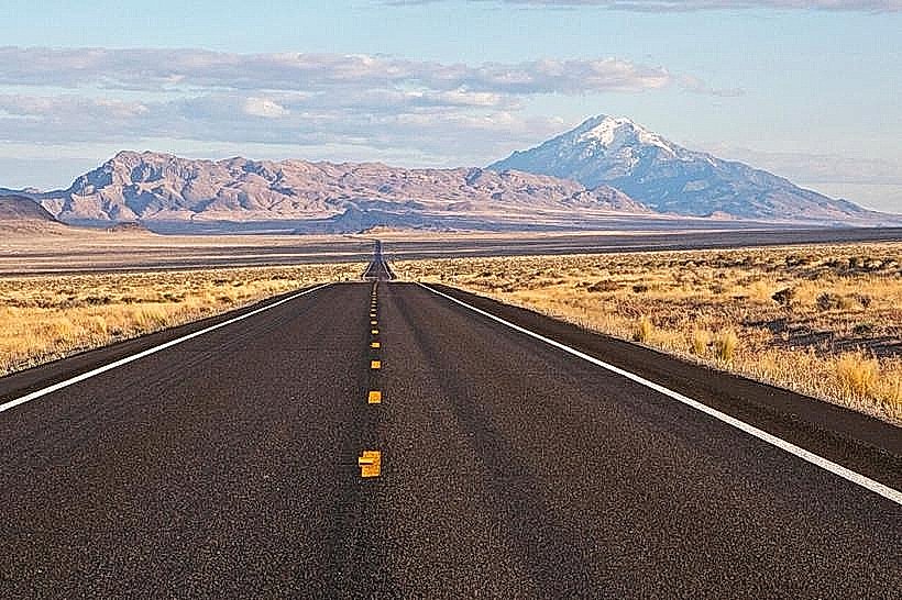
Pilot Peak is located approximately 20 miles (32 kilometers) east of West Wendover, Nevada. Access is primarily via Interstate 80 (I-80). Take Exit 410 from I-80 Eastbound (if coming from Nevada) or Westbound (if coming from Utah). Follow the signed dirt road (Pilot Peak Road) heading south from the interstate. This road is unpaved and can be rough, requiring a high-clearance vehicle, especially after precipitation. Parking is available at the trailhead at the end of the access road. No public transport services reach the trailhead.
Historical & Ecological Origin
Pilot Peak is an erosional remnant of the ancient Bonneville Lake, a prehistoric lake that once covered much of western Utah. Its geological formation is part of the Basin and Range Province, characterized by fault-block mountains. The peak served as a navigational landmark for emigrants on the California Trail and later for the transcontinental railroad.
Key Highlights & Activities
The primary activity is hiking the Pilot Peak Trail, a strenuous 8-mile (12.9 km) roundtrip hike to the summit. The trail is steep and challenging, with significant elevation gain. The summit offers panoramic views of the Great Salt Lake Desert and surrounding mountain ranges. Due to its elevation, the peak is also a destination for experienced mountaineers and climbers, particularly for routes on its steeper faces.
Infrastructure & Amenities
There are no developed facilities at the trailhead or on the mountain itself. Visitors should carry all necessary water, food, and supplies. Restroom facilities are not available. Cell phone signal is unreliable to non-existent in the vicinity of the trailhead and on the mountain.
Best Time to Visit
The best time for hiking is from late June through September, when snow has typically melted from the upper trails. Winter and early spring can bring snow and ice, making the ascent hazardous. The best time of day for photography is early morning or late afternoon for softer light on the mountain slopes. High tide is not applicable to this mountain location.
Facts & Legends
Pilot Peak is known for its distinctive shape, which resembles a ship's pilot house, hence its name. A historical curiosity is the presence of the remains of a U.S. Army reconnaissance plane crash from the 1950s, located on the upper slopes, though these are not easily accessible.
Nearby Landmarks
- Bonneville Salt Flats (15km Northwest)
- Great Salt Lake State Park (45km Southeast)
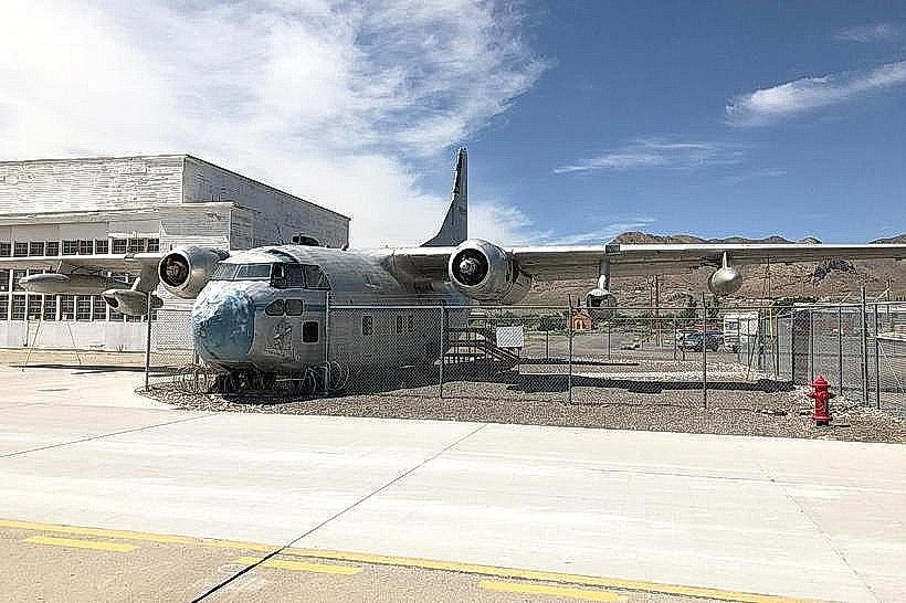
- Wendover Airfield Museum (22km West)
- Stansbury Island (60km Southeast)
- Antelope Island State Park (75km Southeast)