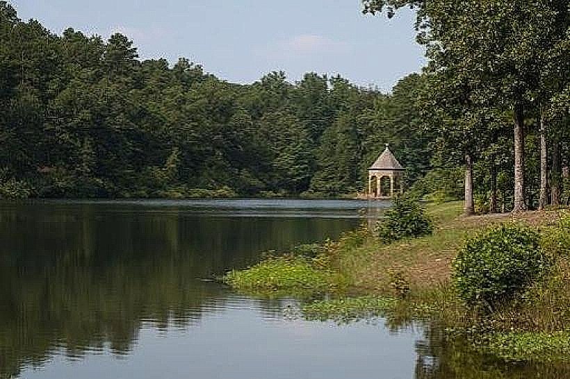
Landmark: Pinnacle Mountain State Park
City: Little Rock
Country: USA Arkansas
Continent: North America
Pinnacle Mountain State Park, Little Rock, USA Arkansas, North America
Pinnacle Mountain State Park is a protected natural area located west of Little Rock, Arkansas. It features a prominent mountain with a summit offering panoramic views.
Visual Characteristics
The park's central feature is Pinnacle Mountain, a quartzite peak rising approximately 1,011 feet above sea level. The mountain's slopes are covered in mixed deciduous and coniferous forest. Exposed quartzite rock formations are visible near the summit. The Arkansas River forms a boundary to the south of the park.
Location & Access Logistics
Pinnacle Mountain State Park is situated approximately 15 miles west of downtown Little Rock. Access is via State Highway 10 West, turning north onto State Highway 300. The park entrance is clearly marked. Ample parking is available at the base of the mountain and at the visitor center. Public transportation options to the park are limited; the nearest bus route stops several miles away.
Historical & Ecological Origin
Pinnacle Mountain is composed of Ouachita Mountains geology, specifically a syncline of steeply dipping Paleozoic sedimentary rocks, primarily quartzite. The park was established in 1977 to preserve this significant geological and ecological area. The surrounding forest is a mature mixed hardwood and pine ecosystem.
Key Highlights & Activities
Hiking is the primary activity. The Summit Trail (3.2 miles roundtrip) ascends to the mountain's peak. The Base Trail (7.4 miles loop) circles the mountain's base. Rock climbing is permitted on designated cliffs. Fishing is available in the Arkansas River. Paddling access points are located along the river.
Infrastructure & Amenities
Restrooms are available at the visitor center and at trailheads. Shaded picnic areas are located throughout the park. Cell phone signal (4G/5G) is generally available in most areas of the park, though it can be intermittent on the mountain summit. No food vendors are located within the park; visitors should bring their own provisions.
Best Time to Visit
For photography, early morning or late afternoon provides optimal lighting conditions for the mountain and surrounding landscape. The best months for hiking are typically April through October, avoiding the extreme heat of mid-summer. Spring offers wildflowers, and autumn provides fall foliage. No tide-dependent activities occur within the park.
Facts & Legends
A local legend suggests that the mountain was formed by a giant who threw a large rock. Geologically, the mountain's steep slopes and exposed quartzite are a result of millions of years of erosion acting on uplifted rock strata. A specific tip for hikers: carry at least one liter of water per person, especially during warmer months, as the ascent can be strenuous.
Nearby Landmarks
- Old State House Museum (18km East)
- Arkansas State Capitol Building (17km East)
- Little Rock Central High School National Historic Site (16km East)
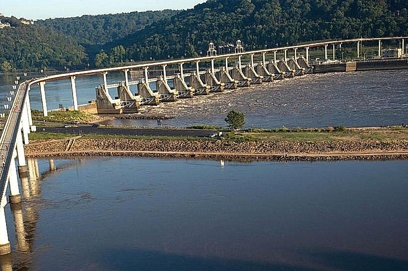
- Big Dam Bridge (14km East)
- William J. Clinton Presidential Center (19km East)