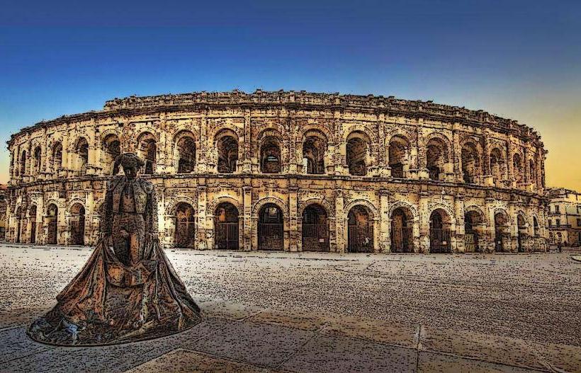
Landmark: Pont du Gard
City: Nimes
Country: France
Continent: Europe
Pont du Gard, Nimes, France, Europe
The Pont du Gard is an ancient Roman aqueduct bridge crossing the Gardon River in Vers-Pont-du-Gard, near Nîmes, France. It is the highest of all Roman aqueduct bridges and remains one of the best-preserved examples of Roman hydraulic engineering.
Visual Characteristics
The bridge is 48.8 meters high and consists of three tiers of superimposed arches constructed from shelly limestone (Molasse). The bottom tier has 6 arches, the middle tier has 11, and the top tier has 35. The stone blocks, some weighing up to 6 tons, were cut to fit precisely without the use of mortar, except for the water channel on the uppermost level.
Location & Access Logistics
The site is located 25 kilometers northeast of Nîmes via the D981 or N100 roads. Dedicated parking lots are available on both the Left Bank (Rive Gauche) and Right Bank (Rive Droite). Regional bus line 121 from Nîmes or line 115 from Avignon stops at the "Rond-point du Pont du Gard" station, followed by a 10-minute walk.
Historical & Ecological Origin
Built mid-1st century AD, likely between 40 and 60 AD, the bridge was a critical component of a 50-kilometer aqueduct carrying water from the Eure spring in Uzès to the Roman colony of Nemausus (Nîmes). It spans a limestone canyon formed by the Gardon River, which is a protected Natura 2000 ecological site.
Key Highlights & Activities
Visitors can walk across the first level of the bridge. The site features a 2,500-square-meter museum detailing Roman civilization and the aqueduct's construction. Swimming and kayaking in the Gardon River directly beneath the arches are permitted during summer months. Guided tours of the top-level water conduit are available by reservation.
Infrastructure & Amenities
The visitor centers on both banks provide restrooms, baby-changing stations, and shaded picnic areas. 4G and 5G cellular signals are available throughout the site. The "Les Terrasses" restaurant and several snack bars provide food services on the Left Bank. The site is fully wheelchair accessible via paved paths, though the terrain near the river is rocky.
Best Time to Visit
Photography is best during the late afternoon when the sun illuminates the upstream side of the bridge, turning the limestone a deep gold. The site is open year-round, but the months of May and September offer a balance of warm weather and reduced tourist density. Lighting displays often occur on the arches during summer evenings.
Facts & Legends
The bridge remains almost perfectly level, with a vertical drop of only 2.5 centimeters across its entire length-an incline of approximately $1:18,000$. A historical oddity is the presence of numerous "builder's marks" engraved into the stones, including instructions for placement and phallic symbols intended to ward off bad luck.
Nearby Landmarks
Gardon River: 0.0km (Structure spans the river)
Grotte de la Salpêtrière: 0.2km Northwest
Château de Castillon: 3.5km East
Saint-Privat Chapel: 1.5km South
Musée du Pont du Gard: 0.3km West