Information
Landmark: Port d’AndratxCity: Mallorca Island
Country: Balearic Islands
Continent: Europe
Port d’Andratx, Mallorca Island, Balearic Islands, Europe
Port d’Andratx is a natural harbor and associated settlement located on the southwestern coast of Mallorca Island, within the Balearic Islands archipelago.
This location serves as a significant maritime hub and residential area.
Visual Characteristics
The harbor is characterized by its U-shaped inlet, approximately 1.5 kilometers in length. The water depth varies, reaching up to 10 meters in the main channel. The surrounding terrain consists of rocky hillsides with Mediterranean vegetation, including pine trees and scrub. The settlement comprises a mix of low-rise residential buildings, hotels, and commercial establishments, predominantly constructed with light-colored stucco and terracotta roof tiles. The waterfront is lined with moored yachts and smaller fishing vessels.
Location & Access Logistics
Port d’Andratx is situated 5 kilometers west of the town of Andratx. Access from Palma de Mallorca Airport (PMI) is via the Ma-1 motorway, then the Ma-1C towards Andratx, and finally following signs for Port d’Andratx. The journey is approximately 45 kilometers and takes about 40 minutes by car. Public parking is available in designated lots, with capacity limitations during peak season. Bus line 104 connects Port d’Andratx with Palma city center and Andratx town.
Historical & Ecological Origin
The origins of Port d’Andratx as a settlement date back to the 17th century, primarily serving as a defensive point and a base for fishing activities. Its development into a tourist destination began in the mid-20th century. Ecologically, the area is part of the Mediterranean coastline, characterized by a rocky seabed and the presence of Posidonia oceanica seagrass meadows in shallower areas offshore, which are crucial for marine biodiversity.
Key Highlights & Activities
Activities include boat excursions to nearby coves and islands, such as Sa Dragonera Natural Park. Dining at waterfront restaurants is a primary activity. Walking along the promenade provides views of the harbor. Fishing charters are available. Some areas of the coastline are suitable for swimming, particularly from rocky platforms.
Infrastructure & Amenities
Restrooms are available in public areas and within most establishments along the promenade. Shade is provided by awnings and umbrellas at cafes and restaurants. Cell phone signal (4G/5G) is generally consistent within the settlement. Numerous food vendors and restaurants are located along the waterfront and in the town center.
Best Time to Visit
For optimal weather and fewer crowds, the months of May, June, September, and October are recommended. Mid-morning (10:00-12:00) and late afternoon (16:00-18:00) offer softer lighting for photography. High tide is not a critical factor for harbor access, but can influence swimming conditions in certain small coves.
Facts & Legends
A notable historical fact is the presence of a former military watchtower, Torre de Cala Blanca, located on the eastern headland of the harbor, dating from the 16th century, intended to guard against pirate attacks.
Nearby Landmarks
- Torre de Cala Blanca (0.8km East)
- Sa Dragonera Natural Park (boat access, approximately 5km Southwest)
- Camp de Mar Beach (3km Southeast)
- Andratx town center (5km Northeast)
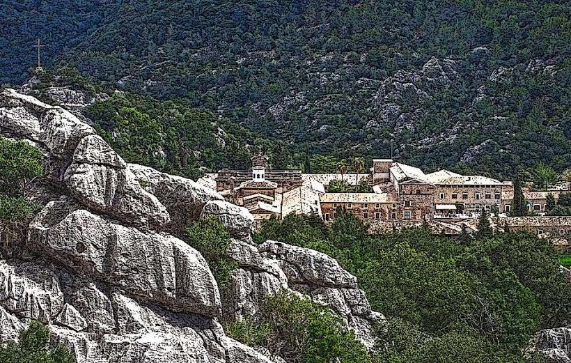
- Monasterio de La Trapa (4km West)