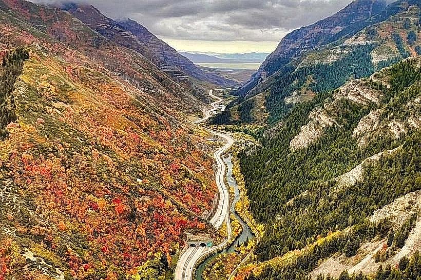
Landmark: Provo Canyon
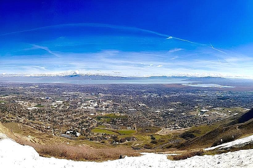
City: Provo
Country: USA Utah
Continent: North America
Provo Canyon, Provo, USA Utah, North America
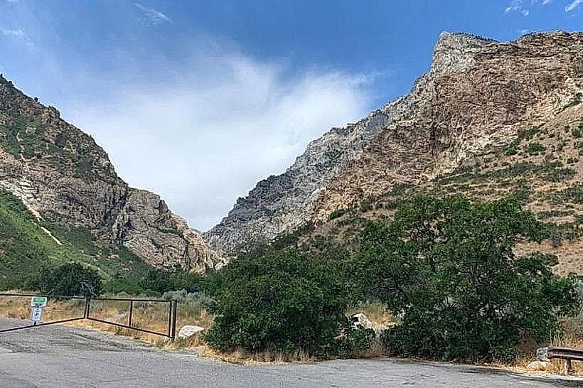
Provo Canyon is a geological feature located in Utah County, Utah, USA, extending east from the city of Provo.
Visual Characteristics
The canyon walls are primarily composed of granite and quartzite, exhibiting shades of gray, white, and pink. The canyon floor is characterized by the Provo River, a clear, fast-flowing waterway. Vegetation includes coniferous forests at higher elevations and deciduous trees along the riverbanks. Rock formations include sheer cliffs and talus slopes.
Location & Access Logistics
Provo Canyon begins at the eastern edge of Provo, Utah. Access is primarily via US-189 (Provo Canyon Road), which runs the length of the canyon. The canyon entrance is approximately 5 kilometers east of downtown Provo. Ample parking is available at designated pull-offs, trailheads, and recreational areas. Public transport options are limited; however, Utah Transit Authority (UTA) bus routes may serve the canyon entrance area during specific seasons.
Historical & Ecological Origin
Provo Canyon was carved by glacial activity during the Pleistocene epoch. The Provo River is a remnant of ancient Lake Bonneville, which once covered much of the Great Basin. The canyon has been a travel corridor for indigenous peoples and early settlers for centuries.
Key Highlights & Activities
Hiking is possible on numerous trails, including the Squaw Peak Trail and the Timpanogos Cave National Monument trails. Fishing is permitted in the Provo River. Rock climbing opportunities exist on designated routes. Scenic drives along US-189 offer views of the canyon's geological features.
Infrastructure & Amenities
Restrooms are available at trailheads and picnic areas. Shade is provided by trees in forested sections. Cell phone signal (4G/5G) is intermittent and generally unavailable in deeper canyon sections. Food vendors are not present within the canyon; visitors should bring supplies.
Best Time to Visit
The best time for hiking and outdoor activities is from late spring (May) through early autumn (October). Summer months (June-August) offer the warmest weather. Photography is optimal in the morning and late afternoon for directional lighting on the canyon walls. Winter access may be restricted due to snow.
Facts & Legends
A local legend speaks of a large, unseen creature that inhabits the deeper, less-traveled parts of the canyon. Geologically, the canyon contains evidence of ancient landslide events that significantly reshaped its topography.
Nearby Landmarks
- Timpanogos Cave National Monument (20km Northeast)
- Deer Creek State Park (25km East)
- Mount Timpanogos (15km Northeast)
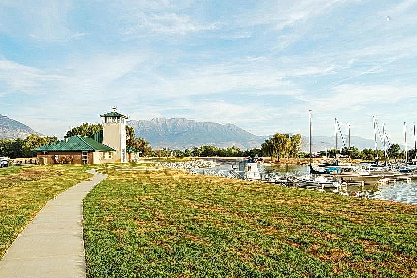
- Utah Lake State Park (10km West)
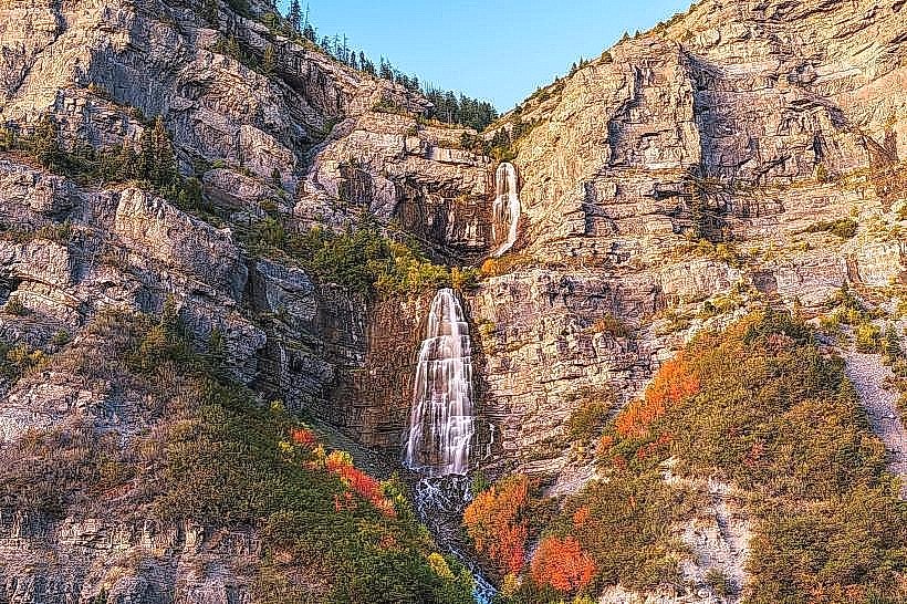
- Bridal Veil Falls (8km East)