Information
Landmark: Pueblo de PampatarCity: Margarita Island
Country: Venezuela
Continent: South America
Pueblo de Pampatar, Margarita Island, Venezuela, South America
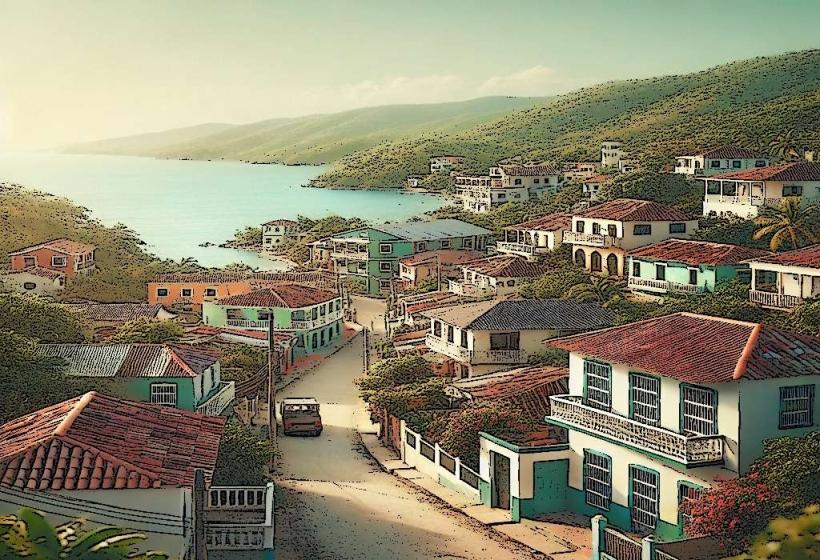
Pueblo de Pampatar is a historic coastal town located on the northeastern coast of Margarita Island, Venezuela.
This settlement functions as a residential and commercial hub, characterized by its colonial architecture and proximity to the Caribbean Sea.
Visual Characteristics
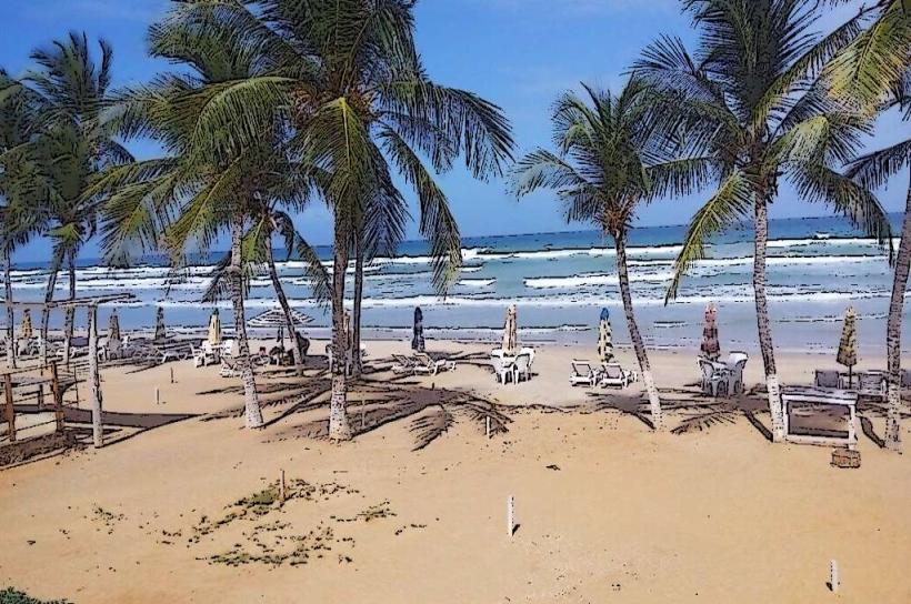
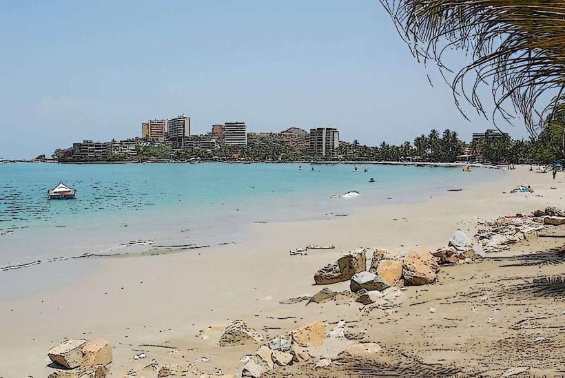
The town features low-rise structures, predominantly constructed from whitewashed stone and stucco. Roofs are typically red-tiled. The architectural style reflects Spanish colonial influences, with narrow streets and small plazas. The coastline is marked by sandy beaches and a prominent harbor area.
Location & Access Logistics
Pampatar is situated approximately 7 kilometers east of Porlamar, the island's largest city. Access is via Avenida 4 de Mayo, which connects to the main island highway. Driving from Porlamar takes approximately 15 minutes. Parking is available on side streets and in designated lots near the waterfront, though it can be limited during peak hours. Public bus routes serving Porlamar and other island towns pass through Pampatar.
Historical & Ecological Origin
Pampatar was founded in the 16th century, serving as a strategic port and defensive outpost against pirate raids. Its original purpose was to protect the island's agricultural exports and facilitate trade. The area's ecology is characterized by a tropical marine environment, with coastal vegetation adapted to saline conditions.
Key Highlights & Activities
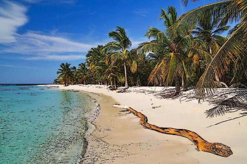
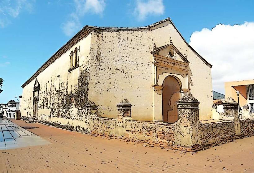
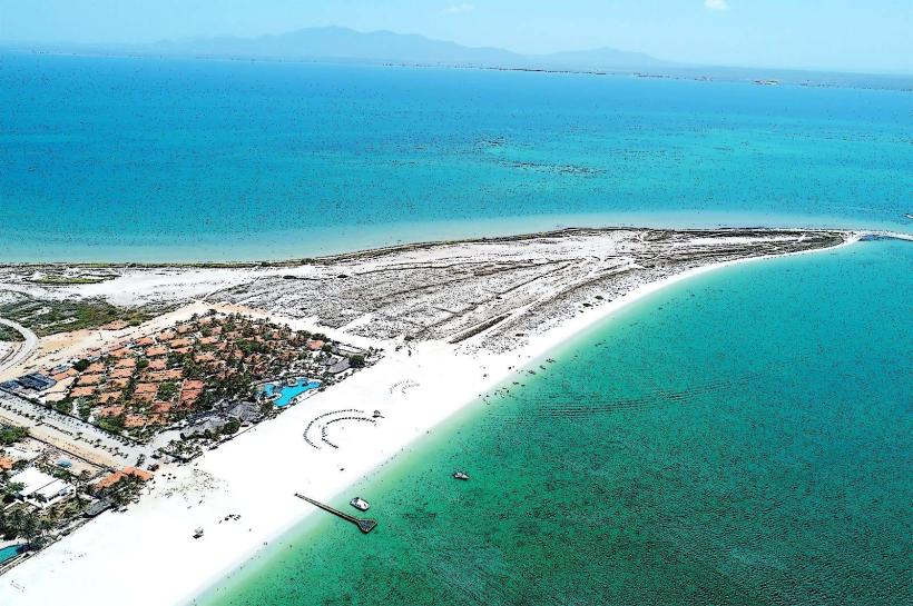
Visitors can explore the Castillo San Carlos de Borromeo, a 17th-century fortress. Walking tours of the historic town center are possible. The waterfront promenade offers opportunities for observation of local maritime activity. Swimming and sunbathing are available at Playa El Agua, located a short distance north of the town center.
Infrastructure & Amenities
Restrooms are available in restaurants and cafes. Shade is provided by building overhangs and some trees along the main streets. Cell phone signal (4G) is generally consistent within the town. Food vendors and restaurants are located along the waterfront and in the town center.
Best Time to Visit
For photography, early morning (7:00 AM - 9:00 AM) offers softer light. The driest months are typically January through April. High tide does not significantly impact access to the town or its primary attractions.
Facts & Legends
The Castillo San Carlos de Borromeo is said to have been built using coral rock quarried from the surrounding area. Local lore suggests that hidden tunnels connect the castle to the sea, though their existence remains unverified.
Nearby Landmarks
- Castillo San Carlos de Borromeo (0.2km West)
- Playa El Agua (1.5km North)
- Porlamar City Center (7km West)
- La Asunción City Center (8km Southwest)
- Parque Nacional Laguna de La Restinga (15km West)