Information
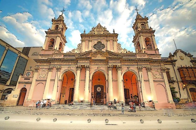
Landmark: Quebrada de HumahuacaCity: Salta
Country: Argentina
Continent: South America
Quebrada de Humahuaca, Salta, Argentina, South America
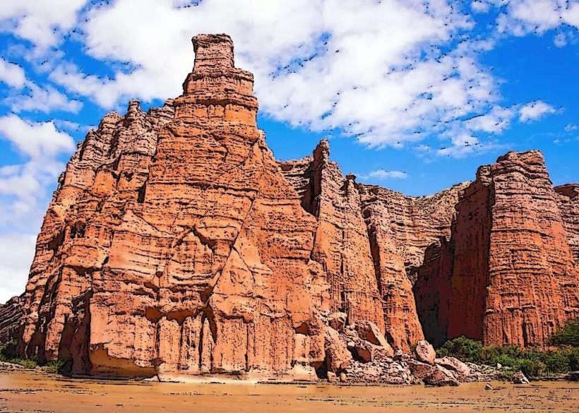
The Quebrada de Humahuaca is a geological formation and cultural site located in the Jujuy Province of Argentina, extending north from the city of Humahuaca.
Visual Characteristics
This narrow mountain valley features sedimentary rock formations exhibiting a range of colors, primarily reds, ochres, purples, and greens, due to mineral content. The landscape is arid, with sparse vegetation consisting of cacti and low shrubs. The valley floor is generally flat, with the Quebrada River running through it, often dry or a shallow stream.
Location & Access Logistics
The Quebrada de Humahuaca is situated in the northern part of Jujuy Province, approximately 150 kilometers north of the provincial capital, San Salvador de Jujuy. Access is primarily via National Route 9 (RN 9), a paved highway. The journey from San Salvador de Jujuy takes approximately 2.5 to 3 hours by car. Public bus services operate regularly from San Salvador de Jujuy and other towns along the Quebrada, with stops in towns like Purmamarca, Tilcara, Humahuaca, and La Quiaca. Parking is available in designated areas within the towns along the route, though it can be limited during peak tourist seasons.
Historical & Ecological Origin
The Quebrada de Humahuaca is a geological feature formed by the erosion of the Andes Mountains over millions of years, primarily by the Quebrada River. Ecologically, it is classified as a high-altitude arid Andean region. Historically, the valley served as a significant route for indigenous peoples and later for Spanish colonial trade and troop movements. It was declared a UNESCO World Heritage site in 2003 for its cultural and landscape significance.
Key Highlights & Activities
Activities include visiting the Hill of Seven Colors in Purmamarca, exploring the Pucará de Tilcara (an archaeological site), and observing the Monument to the Heroes of Independence in Humahuaca. Hiking trails are present in the surrounding hills, offering views of the geological formations. Photography of the colorful rock strata is a primary activity.
Infrastructure & Amenities
Basic infrastructure is available in the towns along the Quebrada. Restrooms are typically found in restaurants, cafes, and tourist information centers. Shade is limited in open areas but available in towns. Cell phone signal (4G) is generally available in the larger towns like Purmamarca, Tilcara, and Humahuaca, but can be intermittent in more remote sections. Food vendors and restaurants are present in the main tourist towns.
Best Time to Visit
The best time for clear photographic lighting of the rock formations is during the morning and late afternoon. The dry season, from May to October, offers the most stable weather with sunny days and cooler temperatures. The wet season, from November to April, can bring rain, which may affect road conditions and visibility. There are no tide requirements.
Facts & Legends
A notable geological feature is the "Paleta del Pintor" (Painter's Palette) near Maimará, a hillside displaying a wide spectrum of colors. Local legends speak of ancient spirits residing within the rock formations, influencing the weather and the fortunes of those who pass through the valley.
Nearby Landmarks
- Purmamarca (Hill of Seven Colors): 0.1km South
- Pucará de Tilcara: 25km North
- Maimará (Paleta del Pintor): 15km North
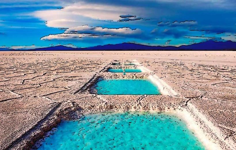
- Salinas Grandes: 40km West (via RN 52)
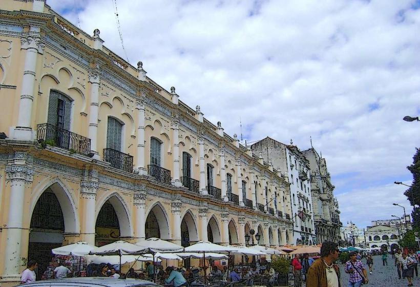
- San Salvador de Jujuy: 150km South