Landmark: Red River Valley
City: Wahpeton
Country: USA North Dakota
Continent: North America
Red River Valley, Wahpeton, USA North Dakota, North America
The Red River Valley is a large, flat agricultural region situated in eastern North Dakota and western Minnesota. It is defined by the Red River of the North, which flows northward through the area.
Visual Characteristics
The landscape is characterized by extensive, level plains with minimal topographical variation. Soil color ranges from dark loam to reddish-brown, indicative of its glacial lakebed origin. Vegetation is predominantly agricultural crops, with scattered stands of deciduous trees along waterways and in shelterbelts. The sky often appears expansive due to the lack of significant elevation changes.
Location & Access Logistics
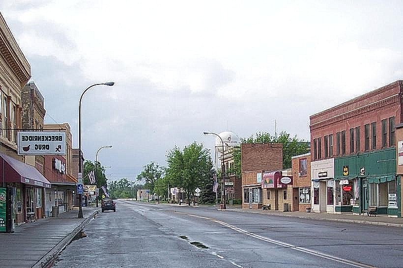
Wahpeton, North Dakota, is located at the southern edge of the Red River Valley. Access to the valley from Wahpeton is primarily via US Highway 81, which runs north-south. State Highway 13 also provides east-west access. The nearest major airport is Hector International Airport (FAR) in Fargo, approximately 70 miles north. Within Wahpeton, local roads provide access to agricultural areas. Parking is generally available along public roads adjacent to fields, though private land access requires landowner permission.
Historical & Ecological Origin
The Red River Valley was formed by the ancient glacial Lake Agassiz, which covered a vast area of North America after the last ice age. The lake's receding waters deposited fine, fertile sediments, creating the exceptionally flat and rich soil that defines the region. The Red River itself is a remnant of this glacial lake, flowing north into Canada. The valley's ecological classification is primarily tallgrass prairie, though it is now extensively cultivated.
Key Highlights & Activities
Agricultural observation: Viewing crop cycles and farming practices. Birdwatching: Observing migratory waterfowl and grassland species. Driving tours: Experiencing the expansive landscape via local roads. Photography: Capturing wide-angle vistas and agricultural scenes.
Infrastructure & Amenities
Restrooms are available in Wahpeton and other towns within the valley. Shade is limited to tree lines and farmsteads. Cell phone signal (4G/5G) is generally available in populated areas but can be intermittent in remote agricultural zones. Food vendors and restaurants are concentrated in towns like Wahpeton and Fargo.
Best Time to Visit
For agricultural observation and photography, late spring through early autumn (May to September) offers the most active growing seasons and favorable lighting conditions during sunrise and sunset. Weather is most stable during summer months. No specific tide requirements apply.
Facts & Legends
The Red River Valley is known as the "breadbasket of the world" due to its exceptionally fertile soil, which supports high yields of wheat, corn, soybeans, and sugar beets. A unique geological feature is the presence of "mud volcanoes," small conical mounds of mud that periodically erupt, a phenomenon linked to the underlying glacial lakebed sediments.
Nearby Landmarks
- Chahinkapa Zoo: 1.5km West (Wahpeton)
- Bois de Sioux Golf Course: 2.0km North (Wahpeton)
- Fort Abercrombie State Historic Site: 10.0km North (Abercrombie, ND)
- Lake Traverse: 15.0km Southwest (South Dakota border)
- Fargo-Moorhead Area: 105.0km North (Fargo, ND / Moorhead, MN)