Landmark: Rhein Valley Trails
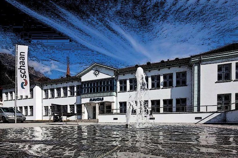
City: Schaan
Country: Liechtenstein
Continent: Europe
Rhein Valley Trails, Schaan, Liechtenstein, Europe
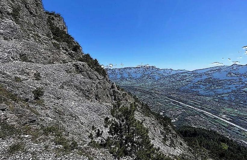
The Rhein Valley Trails comprise an extensive network of walking and cycling paths located along the Rhine River, primarily accessible from Schaan, Liechtenstein.
Visual Characteristics
The trails feature a combination of paved asphalt and compacted gravel surfaces, typically 2-3 meters wide. They run parallel to the Rhine River, which exhibits a grey-green glacial hue. The surrounding landscape consists of flat agricultural fields, interspersed with small forested sections, and is framed by the steep, forested slopes of the Alps to the east and west. Vegetation along the riverbanks includes willow and alder trees, with cultivated crops in the adjacent plains.
Location & Access Logistics
The trails are directly accessible from the western edge of Schaan, approximately 1-2 kilometers from the town center. Access points are numerous along the Rhine Dammweg (Rhine Dam Path), which forms the backbone of the trail system. From Schaan, follow signs towards the Rhine River. Public parking is available in Schaan town center and at various designated points near the river, such as the parking area near the Rheinpark Stadion. LIEmobil bus lines, including routes 11, 13, and 14, serve Schaan, with stops within walking distance of trail access points.
Historical & Ecological Origin
The Rhein Valley Trails largely utilize the infrastructure of the Rhine Dam, which was constructed over several decades, primarily in the late 19th and early 20th centuries, to protect the valley from flooding by the Rhine River. The river itself is a natural glacial formation, carving the valley over millennia. The dam's top was subsequently developed into a recreational path, evolving into the current trail system. The valley floor is an alluvial plain, historically shaped by river deposits.
Key Highlights & Activities
Cycling is a primary activity, with designated routes extending north and south along the river. Walking and jogging are common on all sections. Bird watching is possible, particularly in quieter sections and near the Ruggeller Riet Nature Reserve to the north. Picnicking areas with benches are intermittently available along the dam. Specific trail sections offer views of the Rhine River and the surrounding mountain ranges.
Infrastructure & Amenities
Public restrooms are available in Schaan town center and occasionally at larger rest stops along the trails, though not directly on all sections. Benches are placed at regular intervals. Shade is limited on the dam itself, primarily provided by scattered trees along the riverbanks or adjacent fields. Cell phone signal (4G/5G) is generally strong throughout the valley. Food vendors are not directly on the trails, but restaurants and shops are readily available in Schaan and neighboring villages.
Best Time to Visit
The best months to visit are April to June and September to October, when temperatures are mild and precipitation is lower. Early mornings or late afternoons are ideal for photography, offering softer light on the valley and mountains. The trails are generally accessible year-round, though winter conditions may include ice or snow, particularly in shaded areas.
Facts & Legends
The Rhine Dam not only serves as a flood barrier but also marks the international border between Liechtenstein and Switzerland for much of its length. A unique tip for visitors is to explore the small, unmarked paths leading down from the dam to the river's edge, which often reveal secluded spots for quiet contemplation.
Nearby Landmarks
- Schaan City Center: 1.5km East
- Vaduz Castle: 4km South-East
- Liechtenstein National Museum (Vaduz): 4.5km South-East
- Ruggeller Riet Nature Reserve: 8km North
- Red House (Vaduz): 4km South-East