Landmark: Richmond Drive Park
City: Rock Hill
Country: USA South Carolina
Continent: North America
Richmond Drive Park, Rock Hill, USA South Carolina, North America
Richmond Drive Park is a public recreational area situated in Rock Hill, South Carolina.
This park provides access to the Catawba River and features a network of trails.
Visual Characteristics
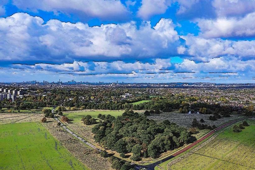
The park's terrain consists of mixed deciduous and coniferous forest. The Catawba River forms the eastern boundary, with a water depth that varies seasonally. Trail surfaces are primarily packed earth and gravel, with some sections featuring wooden boardwalks over marshy areas. The park's elevation changes gradually, with a maximum difference of approximately 15 meters from the riverbank to the higher ground.
Location & Access Logistics
Richmond Drive Park is located 8 kilometers southeast of Rock Hill's city center. Access is via Richmond Drive, which connects to SC Highway 161. The park entrance is clearly marked on the north side of Richmond Drive. A dedicated parking lot with approximately 50 spaces is available at the main entrance. No public transport routes directly serve the park entrance; nearest bus stops are located on SC Highway 161, requiring a 1.5km walk.
Historical & Ecological Origin
The land comprising Richmond Drive Park was acquired by York County in 1985 for public use. Prior to its designation as a park, the area was primarily undeveloped woodland and agricultural land. Ecologically, the park is situated within the Piedmont region of South Carolina, characterized by its rolling hills and mixed hardwood forests. The Catawba River is a significant waterway in the region, supporting diverse aquatic and terrestrial ecosystems.
Key Highlights & Activities
Activities include hiking on the 5km loop trail system, birdwatching, and fishing along the Catawba River. Kayak and canoe launch points are available at designated access areas. Interpretive signage detailing local flora and fauna is positioned along the main trails.
Infrastructure & Amenities
Restrooms are available at the main parking lot. Several picnic tables and benches are distributed throughout the park, offering shaded seating. Cell phone signal (4G) is generally consistent within the main park areas, though it may be weaker in denser wooded sections. No on-site food vendors are present; nearest facilities are located approximately 3km west on SC Highway 161.
Best Time to Visit
For optimal lighting for photography, early morning (07:00-09:00) and late afternoon (16:00-18:00) provide softer light. The months of April, May, September, and October offer the most temperate weather, with average daily temperatures ranging from 15°C to 25°C. River levels are generally stable, with no specific tide requirements for access.
Facts & Legends
Local folklore suggests that the Catawba River in this section was once used by Native American tribes for transporting goods via canoe. A verified historical fact is that the area experienced significant logging operations in the late 19th century before its transition to its current state.
Nearby Landmarks
- Ebenezer Park (1.2km Southeast)
- Carowinds (15km Northwest)
- Olde Mecklenburg Brewery (18km Northwest)
- Wing Haven Garden and Bird Sanctuary (20km Northwest)