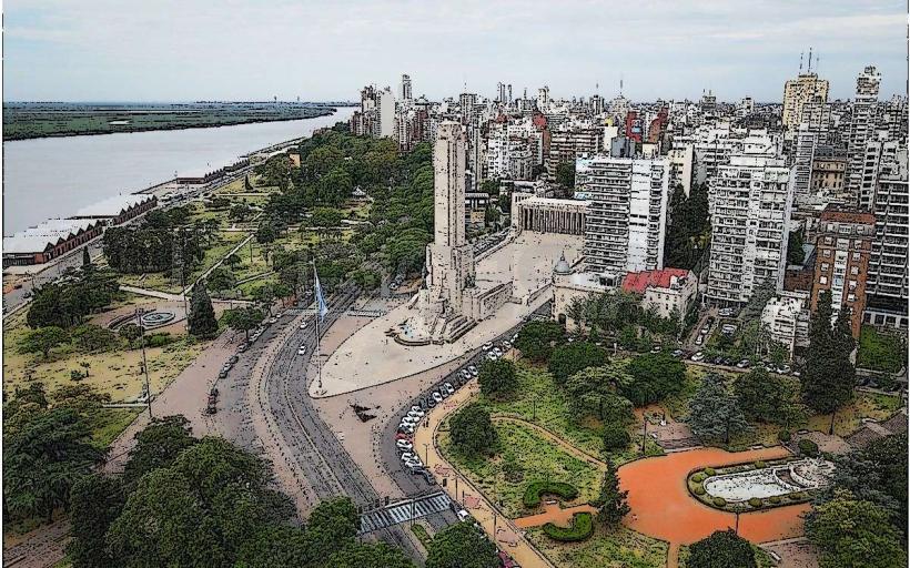
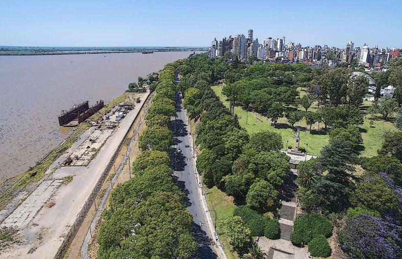
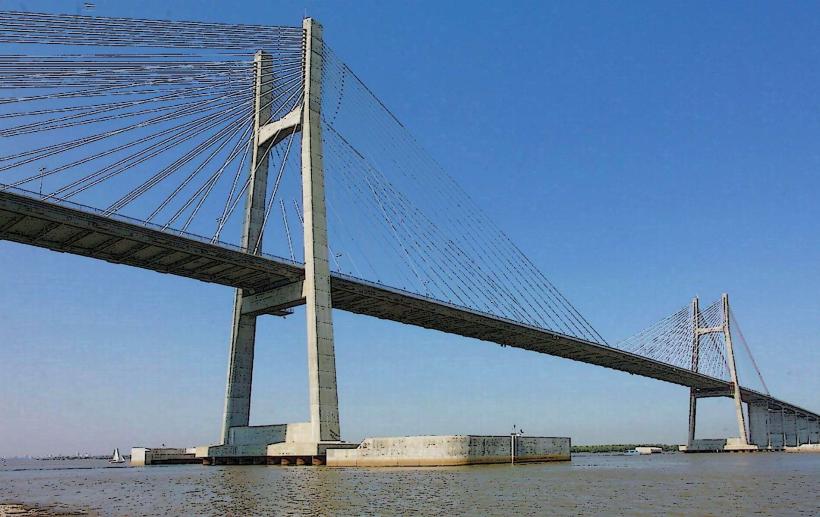
Landmark: Río Paraná
City: Rosario
Country: Argentina
Continent: South America
Río Paraná, Rosario, Argentina, South America
The Río Paraná is a major river system flowing through South America, with a significant section bordering the city of Rosario, Argentina.
This river is a vital waterway, influencing the landscape and economy of the region.
Visual Characteristics
The Río Paraná in the Rosario area presents as a wide, brown-to-muddy water body, influenced by sediment load. Its width varies, with extensive riverine islands, sandbars, and marshy areas along its banks. Vegetation along the immediate riverbanks consists of reeds, grasses, and scattered trees adapted to riparian environments. The riverbed is composed of sand and silt.
Location & Access Logistics
The Río Paraná forms the western boundary of Rosario. Access points are numerous along the city's waterfront. Major roads providing access include Avenida Costanera, which runs parallel to the river. Parking is available at designated lots along the Costanera and at various port facilities. Public transport options include numerous bus lines (e.g., 101, 103, 142) that run along the Costanera, providing stops at regular intervals. Ferries and boat tours depart from the Puerto de Rosario.
Historical & Ecological Origin
The Río Paraná is a fluvial system formed by the confluence of the Paranaiba and Rio Grande rivers. Its current course and characteristics are the result of millions of years of geological processes, including erosion and sedimentation. It is classified as a large South American river, part of the Río de la Plata Basin, the second largest in South America. The river's ecosystem is a complex wetland environment supporting diverse aquatic and terrestrial life.
Key Highlights & Activities
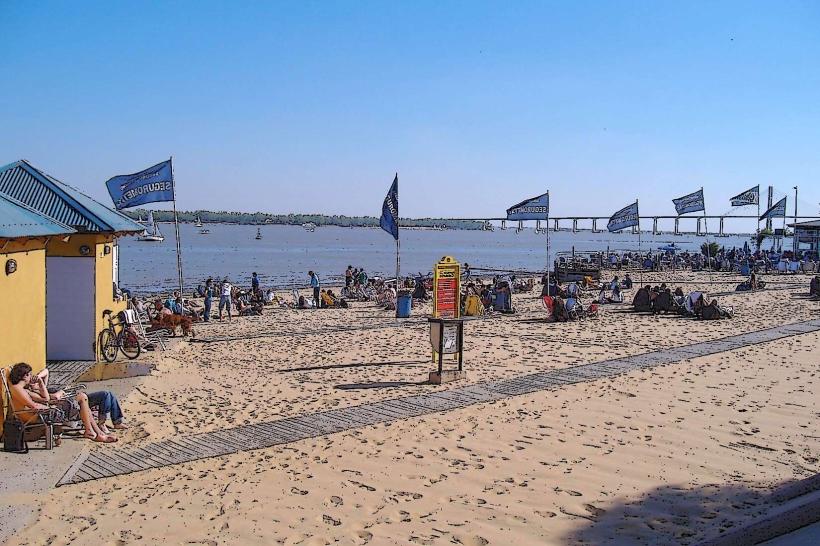
Activities include boat tours exploring the river and its islands, fishing (permits may be required), and observing local birdlife. Kayaking and paddleboarding are possible in calmer sections. The riverfront promenade is used for walking and cycling. Viewing the sunset over the river is a common activity.
Infrastructure & Amenities
Restrooms are available at various points along the Costanera, particularly near parks and tourist facilities. Shade is provided by trees in park areas and some covered seating. Cell phone signal (4G/5G) is generally strong along the developed waterfront. Food vendors and restaurants are located along Avenida Costanera and within the port area.
Best Time to Visit
For photography, the late afternoon offers favorable lighting conditions as the sun sets over the western bank. The best months for pleasant weather are typically September through April, avoiding the peak heat of summer (December-February) and the cooler winter months (June-August). Tidal influence is minimal in this section of the river; water levels are primarily affected by rainfall upstream.
Facts & Legends
A notable historical oddity is the presence of numerous shipwrecks in the riverbed, remnants of past commercial and military activity. Local folklore sometimes speaks of river spirits, though these are not widely documented as specific legends.
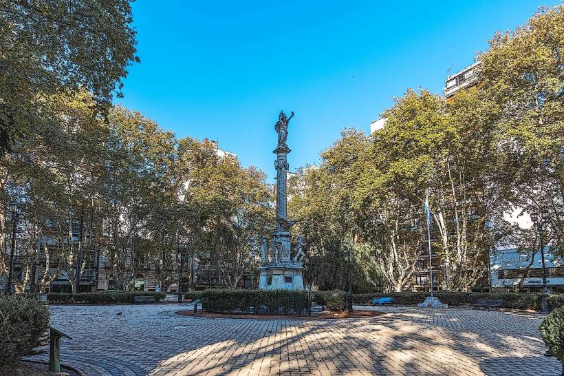
Nearby Landmarks
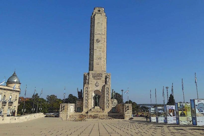
- 0.8km West: Monumento Nacional a la Bandera
- 1.2km Northwest: Paseo del Puerto
- 2.5km Southwest: Parque de España
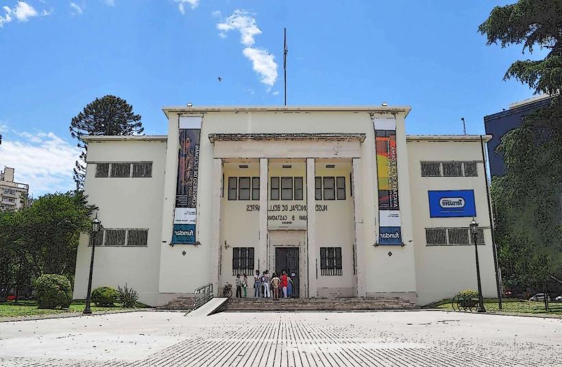
- 3.1km South: Museo de Arte Contemporáneo de Rosario (MACRo)
- 4.0km West: Mercado Central de Rosario