Information
Landmark: Riverfront ParkCity: Haverhill
Country: USA Massachusetts
Continent: North America
Riverfront Park, Haverhill, USA Massachusetts, North America
Riverfront Park is a public recreational area situated along the Merrimack River in Haverhill, Massachusetts.
This park serves as a community space for outdoor activities and river access.
Visual Characteristics
The park features a paved walkway extending along the riverbank. Vegetation consists of mature deciduous trees providing shade, interspersed with open lawn areas. The Merrimack River's water color varies based on weather conditions, typically appearing brown or grey. The park's northern boundary is defined by the river, with the southern edge bordering urban development.
Location & Access Logistics
Riverfront Park is located at 163 Water Street, Haverhill, MA 01830. It is approximately 0.5km South of Haverhill's central business district. Access is via Water Street, which connects to Main Street (Route 125). Parking is available in a dedicated lot adjacent to the park entrance, with approximately 50 spaces. The Haverhill MBTA Commuter Rail station is 1.2km West, accessible via a 15-minute walk or local bus routes.
Historical & Ecological Origin
The land that now comprises Riverfront Park was historically industrial waterfront property. Redevelopment efforts in the late 20th century transformed it into a public park. Ecologically, the park is situated on the banks of the Merrimack River, a historically significant waterway for transportation and industry, now managed for recreational use and environmental restoration.
Key Highlights & Activities
Activities include walking and cycling on the paved paths. Fishing is permitted from designated areas along the riverbank. Kayak and canoe launch points are available. Seasonal events, such as concerts and festivals, are held in the central open lawn area. Birdwatching is possible, particularly during migratory seasons.
Infrastructure & Amenities
Restrooms are located near the main parking area. Several picnic tables and benches are distributed throughout the park, offering shaded seating under trees. Cell phone signal (4G/5G) is generally strong within the park. No on-site food vendors are present, but several restaurants are located within a 0.3km radius on Water Street and Main Street.
Best Time to Visit
For photography, early morning or late afternoon light provides optimal illumination of the river and park landscape. The best months for weather are May through October, offering mild temperatures. High tide can affect the accessibility of some lower-lying riverbank areas, but does not typically impede park access.
Facts & Legends
A local historical oddity is the presence of remnants of old industrial pilings visible at low tide along the river's edge, hinting at Haverhill's manufacturing past. A lesser-known tip is that the northernmost section of the park offers a less crowded vantage point for observing river traffic and local wildlife.
Nearby Landmarks
- 0.3km West: Haverhill Public Library
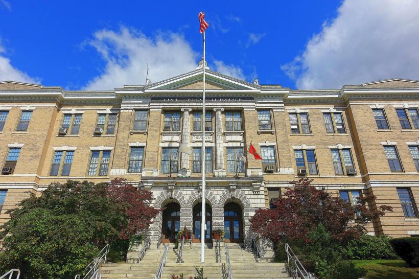
- 0.5km South: Haverhill City Hall
- 1.2km West: Haverhill MBTA Commuter Rail Station
- 1.5km Northwest: Bradford Common