Landmark: Roche-à-Bateau
City: Les Cayes
Country: Haiti
Continent: North America
Roche-à-Bateau, Les Cayes, Haiti, North America
Roche-à-Bateau is a coastal commune situated in the Sud Department of Haiti, west of the city of Les Cayes.
Visual Characteristics
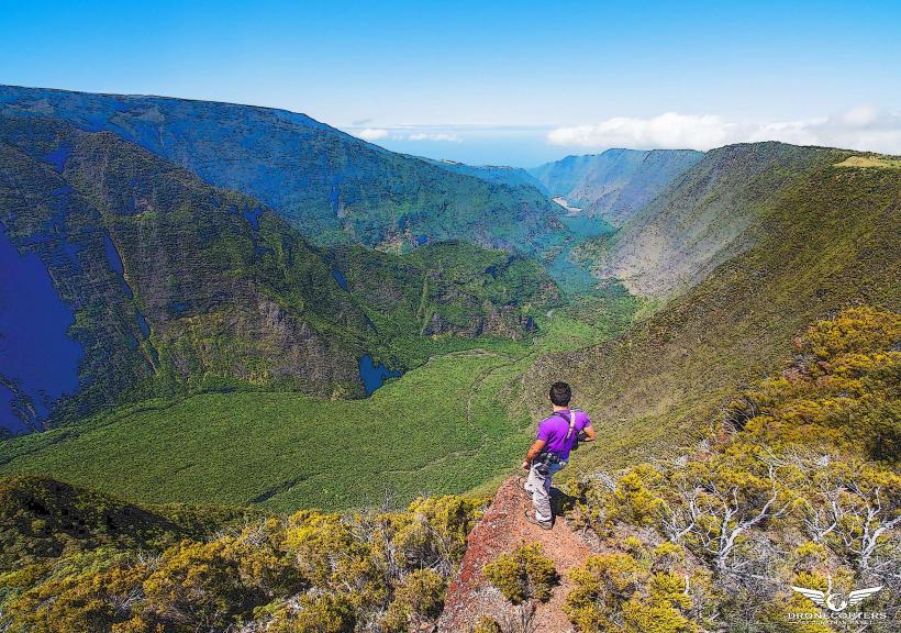
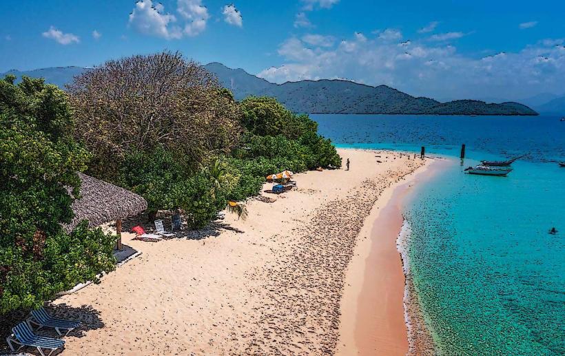
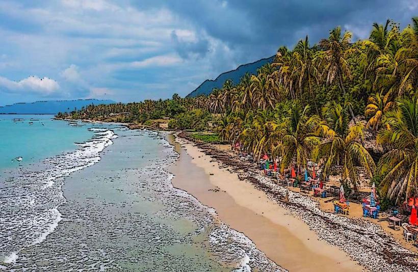
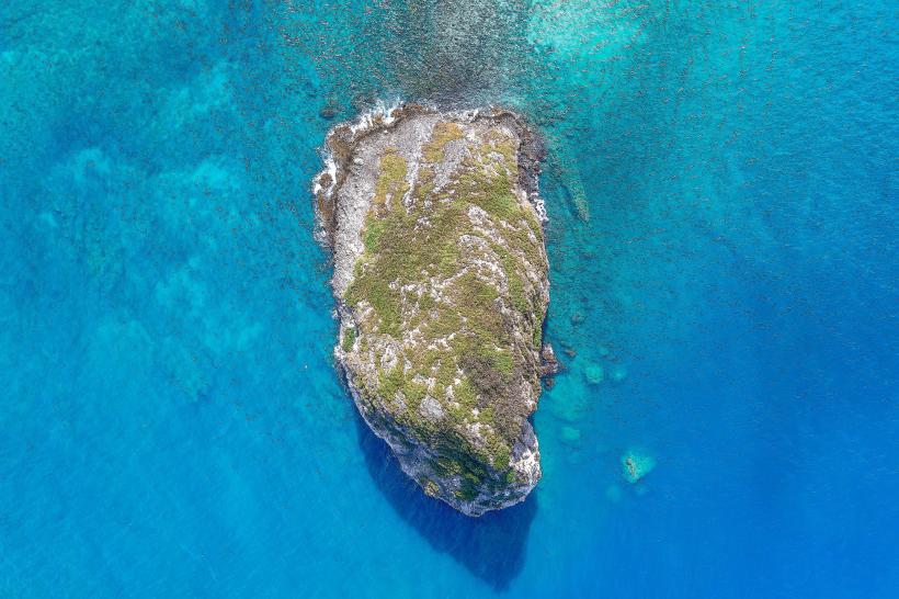
The area is characterized by a rocky coastline with prominent limestone formations that extend into the Caribbean Sea. The water color varies from deep blue offshore to turquoise closer to the shore. Vegetation is sparse, consisting primarily of drought-resistant shrubs and grasses adapted to the coastal environment.
Location & Access Logistics
Roche-à-Bateau is located approximately 25 kilometers west of Les Cayes. Access is primarily via Route Nationale 2 (RN2), a paved road. From Les Cayes, travel west on RN2 for approximately 20 kilometers, then turn north onto a smaller, unpaved road leading directly to the commune. Parking is available on an informal basis in designated open areas near the coast. Public transport options include shared taxis (tap-taps) that run between Les Cayes and Roche-à-Bateau, departing frequently from the Les Cayes bus terminal.
Historical & Ecological Origin
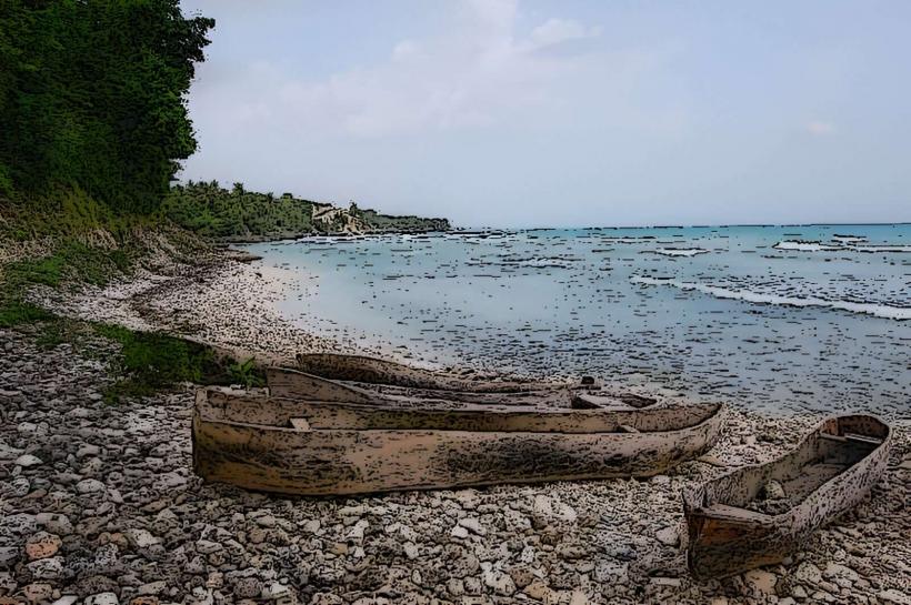
The name "Roche-à-Bateau" (Rock-Boat) is derived from the distinctive rock formations along the coast that, from certain angles, resemble boats. These formations are the result of coastal erosion acting upon limestone deposits over geological time. The area's ecological significance lies in its coastal marine environment, supporting local fishing activities.
Key Highlights & Activities
Activities include observing the coastal rock formations, swimming in designated safe areas, and fishing. Local fishermen often offer boat trips along the coast for a fee. The primary activity is experiencing the natural coastal landscape.
Infrastructure & Amenities
Basic amenities are limited. There are no formal restrooms or designated shade structures. Cell phone signal (2G/3G) is generally available but can be intermittent. Small, informal food vendors may be present, offering local snacks and drinks, particularly on weekends.
Best Time to Visit
The best time for photography is during the late afternoon when the sun's angle creates shadows on the rock formations. The dry season, from November to April, offers the most favorable weather conditions with minimal rainfall. High tide can affect access to certain rocky areas.
Facts & Legends
A local legend suggests that the rock formations were once actual ships that were turned to stone by a sea deity to protect the coastline from invaders. A practical tip for visitors is to wear sturdy footwear due to the uneven and rocky terrain.
Nearby Landmarks
- Citadelle de Port-au-Prince (approx. 180km Northeast)
- Bassin Bleu (approx. 30km Northeast)
- Île-à-Vache (approx. 15km South, accessible by boat from Les Cayes)
- Marché de Les Cayes (approx. 25km East)