Information
Landmark: Santa Barbara Wine CountryCity: Santa Barbara
Country: USA California
Continent: North America
Santa Barbara Wine Country, Santa Barbara, USA California, North America
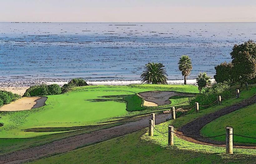
Santa Barbara Wine Country is a viticultural region located inland from the city of Santa Barbara, California, USA. It encompasses several distinct valleys known for their grape cultivation and wine production.
Visual Characteristics
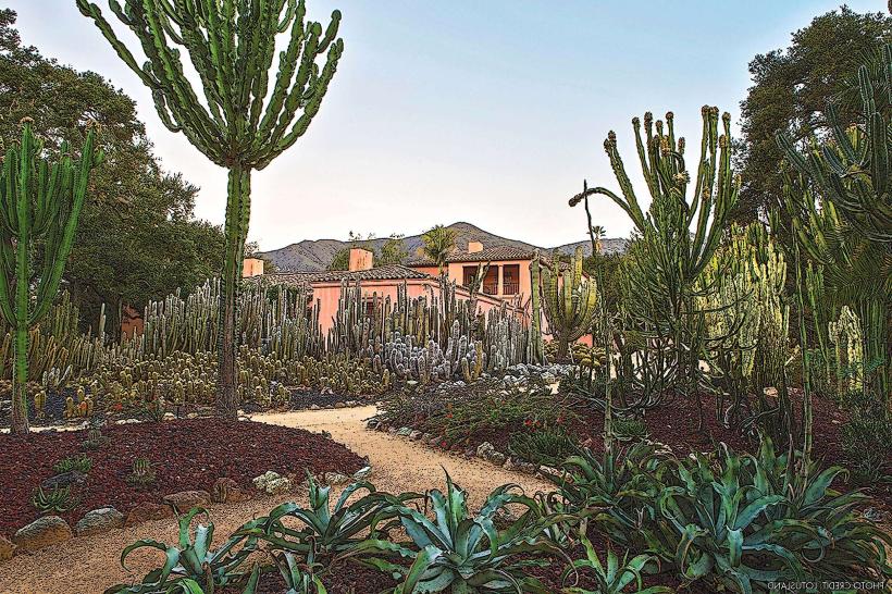
The landscape is characterized by rolling hills covered in vineyards, interspersed with oak woodlands and chaparral. The valleys are generally wide, with the Santa Ynez Mountains forming a prominent backdrop to the south. Soil types vary, including sandy loam and clay, influencing grape varietals. Wineries often feature Spanish Colonial or modern architectural styles, with tasting rooms and production facilities.
Location & Access Logistics
Santa Barbara Wine Country is situated approximately 40-50 miles northwest of the city of Santa Barbara. Access is primarily via State Route 154 (San Marcos Pass Road) and State Route 246. From Los Angeles, take US-101 North to State Route 154. From San Luis Obispo, take US-101 South to State Route 246. Parking is available at most wineries, typically in gravel or paved lots. Public transport is limited; ride-sharing services or organized wine tours are the most practical options for navigating between wineries.
Historical & Ecological Origin
Viticulture in the Santa Barbara region dates back to the Spanish mission era, with grapes planted for sacramental wine. Modern commercial winemaking began to gain traction in the late 20th century, particularly after the filming of the movie "Sideways" in the early 2000s, which significantly boosted tourism and recognition. The region's climate, influenced by coastal fog and inland sunshine, is classified as Mediterranean, with cool-climate varietals like Pinot Noir and Chardonnay thriving alongside warmer-climate grapes such as Syrah and Zinfandel.
Key Highlights & Activities
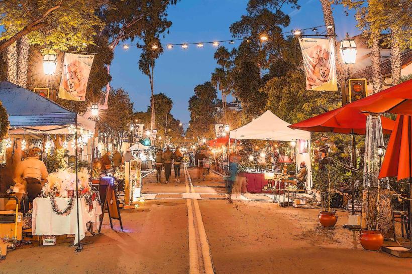
Wine tasting at over 100 wineries is the primary activity. Many wineries offer tours of their vineyards and production facilities. Picnicking is permitted at select locations. Hiking trails are available in surrounding state parks. Hot air balloon rides offer aerial views of the vineyards. Cycling tours are also popular.
Infrastructure & Amenities
Wineries provide tasting rooms, restrooms, and often have shaded outdoor seating areas. Cell phone signal (4G/5G) is generally available within populated areas and at most wineries, though it can be spotty in more remote vineyard locations. Food options range from on-site cafes and restaurants at larger estates to nearby towns like Los Olivos and Solvang offering diverse dining choices. Some wineries have limited food service, such as cheese and charcuterie boards.
Best Time to Visit
The best time for visiting is during the harvest season, from August through October, when the vineyards are at their most visually appealing and the weather is typically warm and dry. Spring (April-May) offers blooming wildflowers and green hillsides. For photography, early morning or late afternoon light provides optimal conditions for vineyard landscapes. Wine tasting is generally available year-round, though some smaller wineries may have reduced hours in winter.
Facts & Legends
The region is known for its unique microclimates, with some valleys experiencing significant diurnal temperature shifts that are ideal for specific grape varietals. A notable fact is the presence of the "Los Olivos Dumb Friends" statue in the town of Los Olivos, a bronze sculpture depicting a dog and a cat, which has become a local landmark and photo opportunity.
Nearby Landmarks
- Solvang (Danish Village): 3km West
- Los Olivos: 1km West
- OstrichLand USA: 4km West
- Old Mission Santa Inés: 3km West
- Gaviota State Park: 25km Southwest