Landmark: Santa Cruz Islands
City: Malaita
Country: Solomon Islands
Continent: Australia
Santa Cruz Islands, Malaita, Solomon Islands, Australia
The Santa Cruz Islands are an archipelago located in the southeastern part of the Solomon Islands. This island group is part of the Malaita Province.
Visual Characteristics
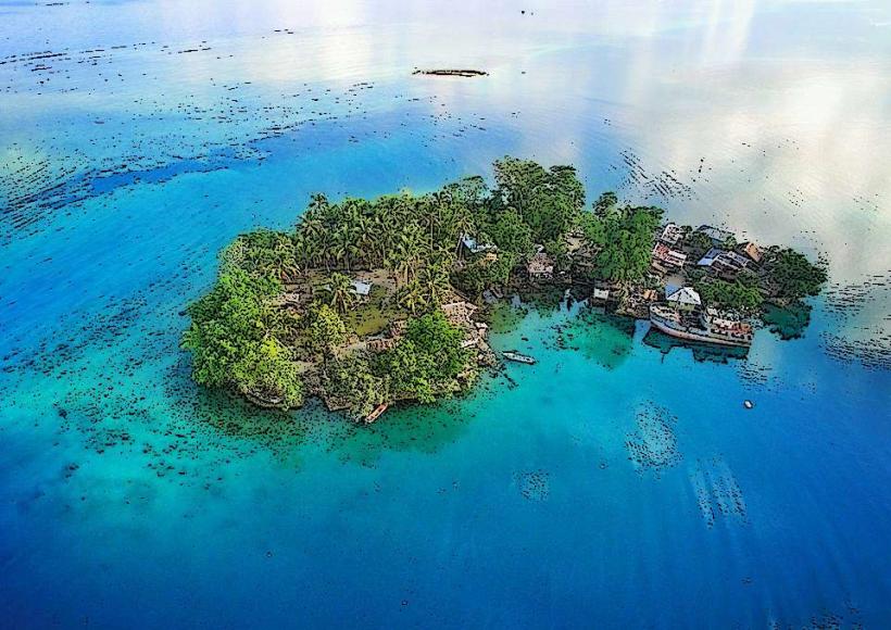
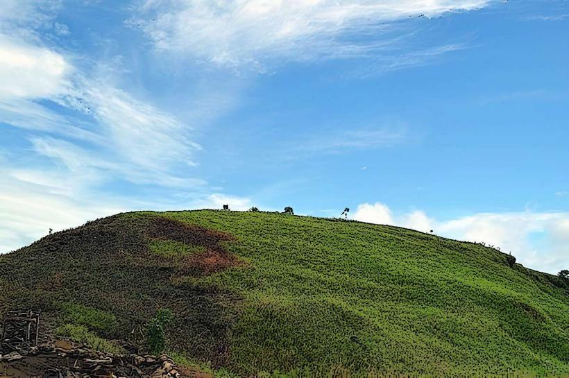
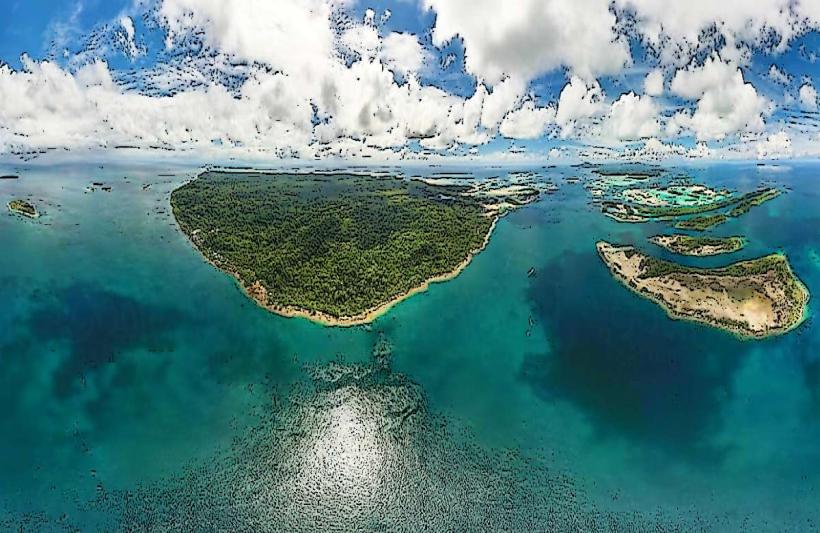
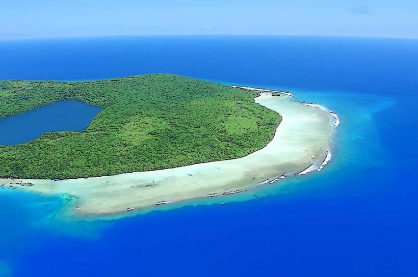
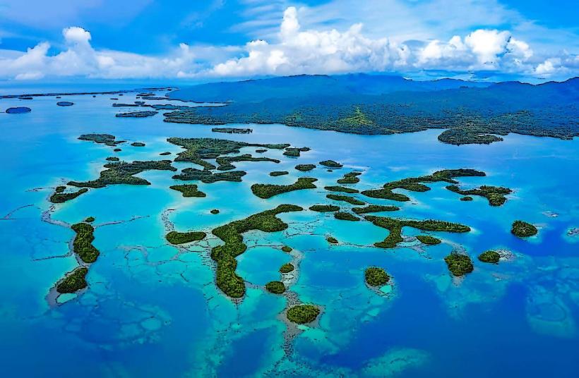
The islands are characterized by volcanic origins, featuring rugged coastlines and elevated terrain. Vegetation is dense, primarily tropical rainforest. The surrounding waters are clear, with coral reefs visible in shallower areas. The largest island, Nendo (also known as Santa Cruz), has a central mountain range.
Location & Access Logistics
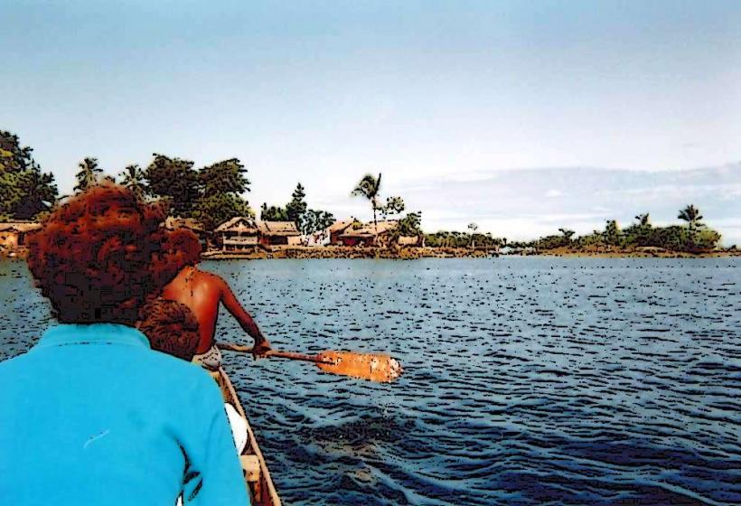
The Santa Cruz Islands are situated approximately 1000 kilometers east of Honiara, the capital of the Solomon Islands. Access is primarily via air to the main island of Nendo, which has a small airstrip (Lata Airport). There are infrequent boat services connecting the islands, but these are not a reliable mode of transport for visitors. No direct road access exists from the mainland Solomon Islands.
Historical & Ecological Origin
These islands are geologically volcanic, formed by tectonic activity in the Pacific Ring of Fire. Historically, they were inhabited by indigenous Melanesian peoples. The islands were sighted by Álvaro de Mendaña in 1595, who named them Santa Cruz. They became part of the British Solomon Islands Protectorate in the late 19th century.
Key Highlights & Activities
Activities include snorkeling and diving around coral reefs, particularly on Nendo. Hiking trails exist on Nendo, leading to viewpoints and through rainforest. Cultural village visits can be arranged, offering insight into local traditions. Birdwatching is possible due to the islands' biodiversity.
Infrastructure & Amenities
Basic accommodation, including guesthouses, is available on Nendo. Restrooms are generally found at these accommodations. Shade is abundant due to the dense tree cover. Cell phone signal is intermittent and unreliable across the islands. Limited food vendors operate in the main settlement of Lata.
Best Time to Visit
The dry season, from May to October, offers the most favorable weather conditions with less rainfall. The best time of day for photography is generally morning and late afternoon when the sun angle is lower, reducing harsh shadows. High tide is preferable for accessing some reef areas for snorkeling.
Facts & Legends
A notable historical event is the death of Álvaro de Mendaña on Nendo in 1595, following an altercation with local inhabitants. Local folklore includes stories of ancestral spirits residing in the islands' mountains and forests.
Nearby Landmarks
- Nendo Airport (Lata Airport) - 1km West
- Lata Settlement - 1.5km West
- Utupua Island - 40km Northwest
- Vanikoro Island - 60km Southwest
- Reef Islands - 70km North