Information
Landmark: Scenic Hana HighwayCity: Maui
Country: USA Hawaii
Continent: North America
Scenic Hana Highway, Maui, USA Hawaii, North America
The Hana Highway is a 64.4-mile (103.6 km) roadway on the island of Maui, Hawaii, USA, connecting the town of Paʻia to the village of Hana.
Visual Characteristics
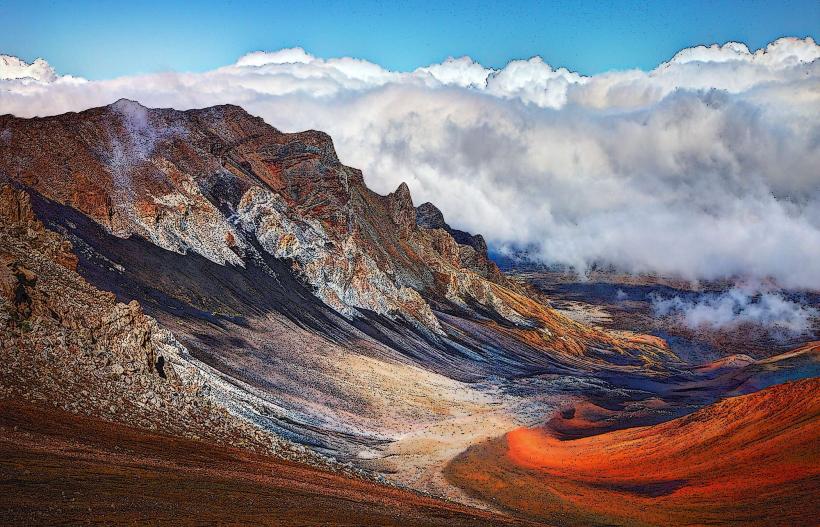
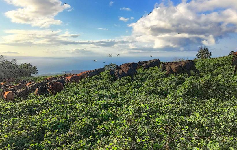
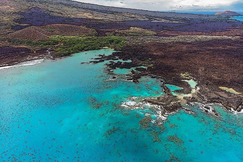
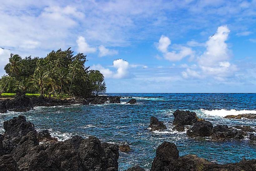
The highway traverses diverse terrain, including coastal cliffs, rainforests, and agricultural lands. Roadside vegetation is dense, featuring tropical flora such as ferns, bamboo, and flowering trees. Numerous waterfalls and streams are visible along the route. The roadway itself is primarily asphalt, with varying widths and numerous sharp curves.
Location & Access Logistics
The Hana Highway begins in Paʻia, located on Maui's north shore, approximately 10 miles east of Kahului Airport (OGG). Access is via Hawaii State Route 36 (Hana Highway). Parking is limited and often unofficial at many points of interest; official parking is available at designated state parks and some commercial establishments. Public transportation is not available along the entire route. Rental cars are the primary mode of transport.
Historical & Ecological Origin
The Hana Highway was constructed in stages, with significant development occurring between 1920 and 1927. It was built to connect the isolated community of Hana to the rest of Maui. The route traverses land shaped by volcanic activity, with lush rainforests supported by consistent rainfall and fertile volcanic soil.
Key Highlights & Activities
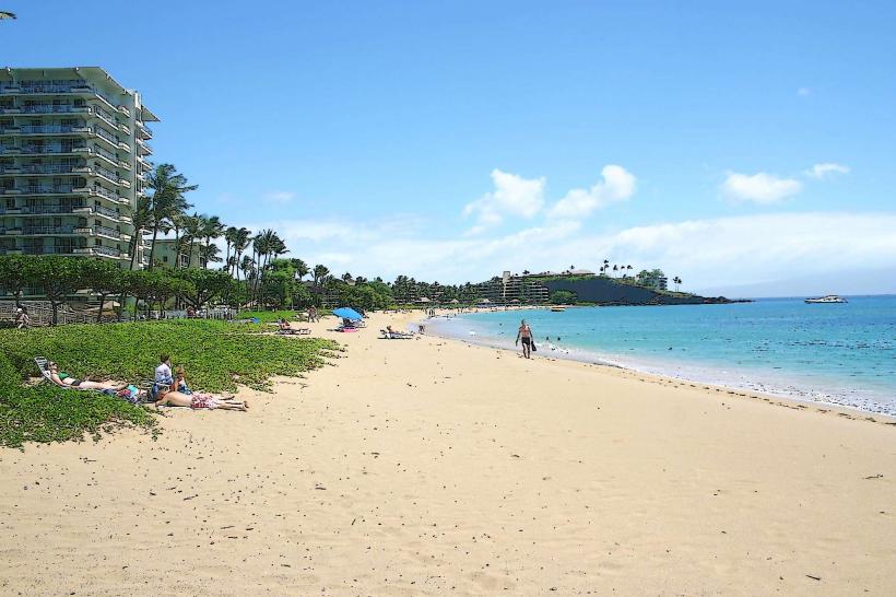
Activities include driving the route, stopping at designated viewpoints, hiking short trails to waterfalls (e.g., Twin Falls, Waimoku Falls via Pipiwai Trail), swimming in freshwater pools, and exploring black sand beaches (e.g., Waianapanapa State Park). Photography opportunities are abundant at various overlooks and natural features.
Infrastructure & Amenities
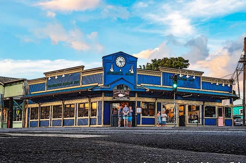
Restrooms are available at state parks (e.g., Waianapanapa State Park) and some commercial stops. Shade is prevalent due to dense tree cover. Cell phone signal is intermittent and often unavailable in remote sections. Food vendors are present in Paʻia and Hana, with limited options at some roadside stands.
Best Time to Visit
The best time of day for photography is generally morning or late afternoon for softer light. The driest months are typically April through September, though rain is common year-round. High tide is not a significant factor for most accessible points along the highway.
Facts & Legends
A local legend states that the volcano Hualālai, on the island of Hawaiʻi, is jealous of Maui's beauty and occasionally causes tremors. The highway is known for its 620 curves and 59 bridges, many of which are single-lane and require drivers to yield.
Nearby Landmarks
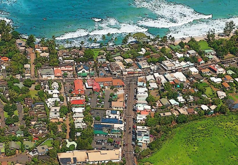
- 0.5km West: Paʻia Town
- 15km East: ʻIao Valley State Monument (requires detour via HI-32)
- 20km Southeast: Kahului Airport (OGG)
- 30km Southwest: Lahaina Town (requires significant detour)