Landmark: Serra Malagueta National Park
City: Assomada
Country: Cabo Verde
Continent: Africa
Serra Malagueta National Park, Assomada, Cabo Verde, Africa
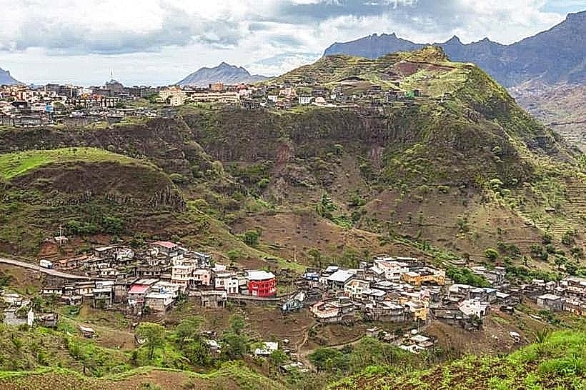
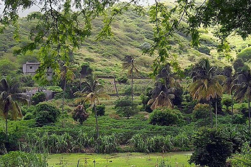
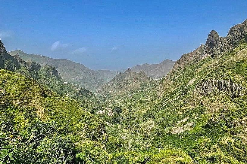
Serra Malagueta National Park is a protected area located on the island of Santiago in Cabo Verde. It encompasses a significant portion of the island's central mountainous region.
Visual Characteristics
The park features rugged, volcanic terrain with steep slopes and deep ravines. Vegetation consists primarily of dry scrub, scattered trees, and endemic plant species adapted to arid conditions. Elevations range from approximately 500 meters to over 1,000 meters above sea level. Rock formations are predominantly basaltic.
Location & Access Logistics
Serra Malagueta National Park is situated approximately 30 kilometers northwest of Praia, the capital city. Access is via the national road EN1-ST01, which leads towards Assomada. From Assomada, local roads provide access to the park's perimeter. Parking is available at designated points near the park entrance. Public transport to Assomada is frequent from Praia; however, onward travel within the park requires private vehicle or taxi services.
Historical & Ecological Origin
The park's geological origin is volcanic, part of the formation of the Cape Verde archipelago. Ecologically, it represents a transition zone between coastal arid environments and higher-altitude montane ecosystems, supporting a unique assemblage of flora and fauna, including several endemic species.
Key Highlights & Activities
Hiking is the primary activity, with marked trails of varying difficulty. The summit trail offers panoramic views. Birdwatching is possible, with opportunities to observe endemic species. Photography is recommended during morning and late afternoon for optimal lighting conditions.
Infrastructure & Amenities
Basic facilities include a visitor information point at the park entrance. Restrooms are available at the visitor center. Shade is limited outside of designated picnic areas. Cell phone signal (4G) is intermittent within the park boundaries. Food vendors are not present within the park; visitors should carry provisions.
Best Time to Visit
The best months for visiting are generally from November to May, during the dry season, when rainfall is minimal. The best time of day for photography is early morning (07:00-09:00) or late afternoon (16:00-18:00) to avoid harsh midday sun and capture softer light.
Facts & Legends
A specific local legend speaks of a hidden spring within the park, said to possess healing properties, though its exact location remains unconfirmed. The park is a critical habitat for the Cape Verdean Buzzard (Buteo poecilochrous), a rare raptor.
Nearby Landmarks
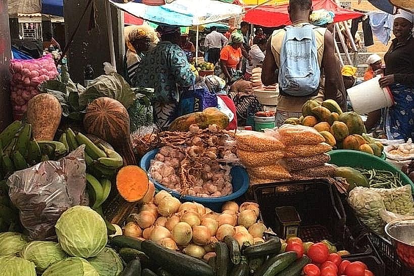
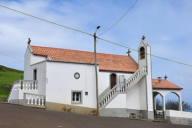
- Assomada Market (2.5km South)
- Pico de Antónia (7km Southwest)
- Tarrafal Bay (15km Northwest)
- Cidade Velha (35km Southeast)