Landmark: Shkodër Lake
City: Shkoder
Country: Albania
Continent: Europe
Shkodër Lake, Shkoder, Albania, Europe
Shkodër Lake is the largest lake in the Balkan Peninsula, straddling the border between northwestern Albania and Montenegro. The Albanian portion encompasses approximately 149 square kilometers of the total surface area, which fluctuates between 370 and 530 square kilometers depending on seasonal water levels.
Visual Characteristics
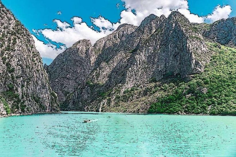
The lake is a karst formation characterized by shallow depths, averaging 7 to 10 meters, and a limestone bed. The shoreline varies from the flat, marshy wetlands of the northern Shkodër plain to the steep, rocky slopes of the Rumija Mountains on the southwestern edge. The water exhibits a deep green or blue hue, often covered in extensive lily pad fields and reed beds in the shallower sections.
Location & Access Logistics
The primary access point from the city of Shkodër is the suburb of Shiroka, located 4km west of the city center. Access is via a paved lakeside road. Public transport is available through the "Shiroka-Zogaj" bus line departing from near the city’s center. Motorists can access the shore via multiple points along the SH1 highway or the local Shiroka road, which features several public parking areas.
Historical & Ecological Origin
The lake is a designated Ramsar site and an Important Bird Area (IBA), serving as one of Europe’s largest bird reserves. It is the final habitat for the rare Dalmatian Pelican and hosts over 270 bird species. Historically, the lake has been a vital trade and fishing route since antiquity, connecting the Illyrian interior with the Adriatic Sea via the Buna River.
Key Highlights & Activities
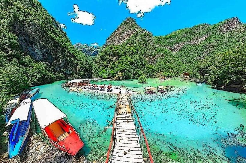
The village of Shiroka and the smaller settlement of Zogaj are centers for lakeside recreation, featuring a renovated pedestrian promenade and cycling paths. Boat tours and kayaking are common activities, particularly for birdwatching in the wetlands. Recreational fishing is prevalent, targeting the lake’s famous "Krap" (carp) and "Njala" (eel).
Infrastructure & Amenities
Shiroka features a modern waterfront square with public benches, lighting, and 5G cellular coverage. Numerous restaurants specializing in traditional lake fish are concentrated along the main road. Public restrooms are available within the commercial establishments. The area is generally accessible, though boat access typically requires navigating small, non-standardized wooden piers.
Best Time to Visit
The lake is most active from May to September for swimming and boating. For birdwatching, the migration periods in spring (March–April) and autumn (October–November) are optimal. Photography is best during the "Golden Hour" at sunset, as the sun sets over the mountains on the Montenegrin side, reflecting across the wide expanse of water.
Facts & Legends
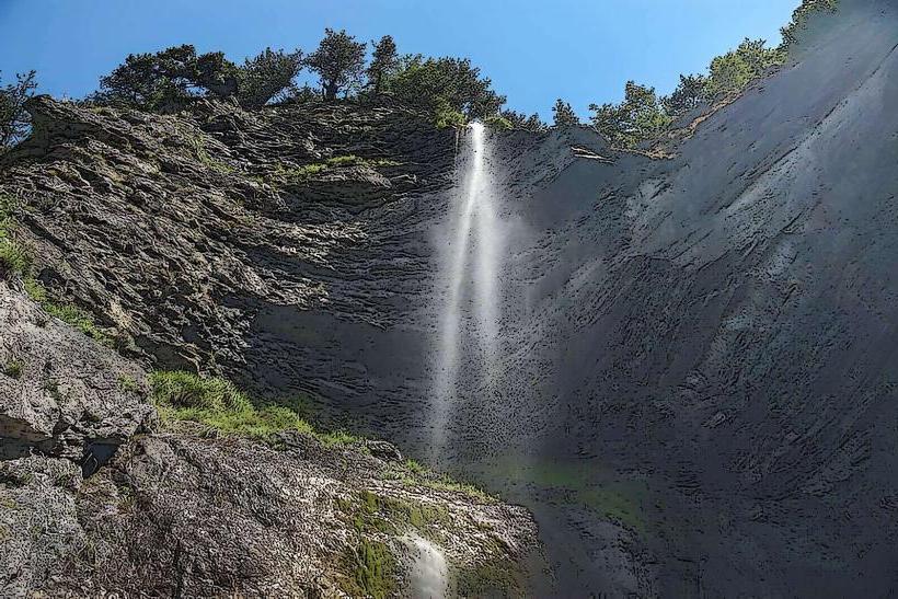
A geological phenomenon of the lake is the presence of "Eye" springs (vruljas)-underwater karst springs where water gushes from the bottom at high pressure, some reaching depths of over 60 meters. Local lore often speaks of submerged ancient settlements and military equipment from various Balkan conflicts remaining on the lake floor due to the shifting water levels and silt.
Nearby Landmarks
Rozafa Castle: 1.5km East
Buna River: 0.5km South
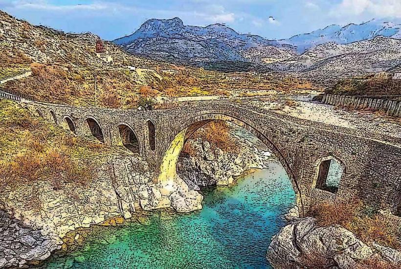
Mesi Bridge: 12km Northeast
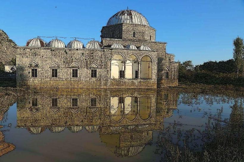
Lead Mosque: 2.0km East
Marubi National Museum of Photography: 4.5km East