Landmark: Tet Paul Nature Trail
City: Soufrier
Country: Saint Lucia
Continent: North America
Tet Paul Nature Trail, Soufrier, Saint Lucia, North America
The Tet Paul Nature Trail is a 0.5km (0.3 mile) walking path located in Soufrière, Saint Lucia, offering panoramic views of the Pitons.
Visual Characteristics
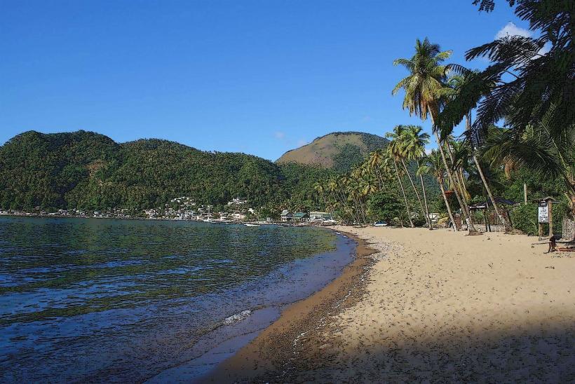
The trail traverses a hillside covered in dense tropical vegetation. Key visual elements include the twin volcanic spires known as the Pitons (Gros Piton and Petit Piton), which dominate the southern horizon. The Caribbean Sea is visible to the west, exhibiting varying shades of blue depending on sunlight penetration. The path itself is primarily composed of packed earth and gravel, with some sections featuring stone steps.
Location & Access Logistics
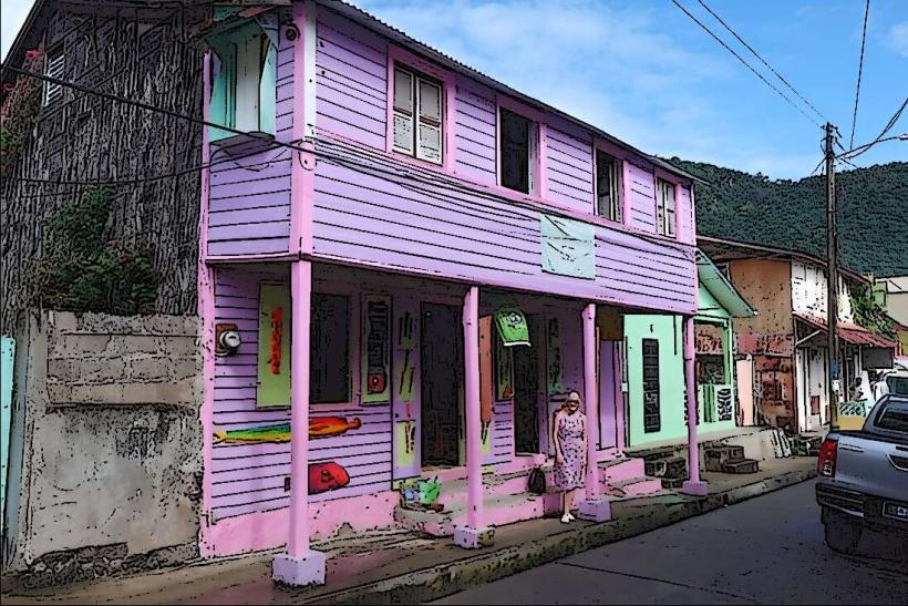
The trailhead is situated approximately 3km (1.9 miles) southeast of Soufrière town center. Access is via the main road connecting Soufrière to Fond Gens Libre. Turn off the main road onto a smaller, paved access road leading directly to the trailhead. Parking is available at the trailhead, accommodating approximately 15-20 vehicles. Public transport options are limited; local minibuses operate on the main road, requiring a short walk to the trailhead. Taxis are readily available in Soufrière.
Historical & Ecological Origin
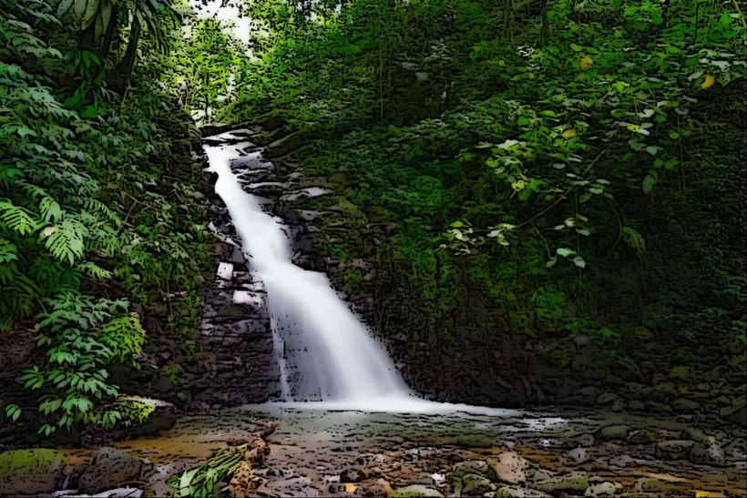
The Tet Paul Nature Trail follows a route historically used by local farmers to access agricultural land. Ecologically, the area is characterized by tropical dry forest, supporting a variety of endemic plant and bird species. The trail's geological context is defined by the volcanic origins of the island, with the Pitons being remnants of a volcanic plug.
Key Highlights & Activities
The primary activity is walking the 0.5km trail. Designated viewpoints offer unobstructed vistas of Gros Piton, Petit Piton, and the surrounding coastline. Photography is a significant activity due to the landscape. Visitors can observe local flora and fauna along the path.
Infrastructure & Amenities
Restrooms are available at the trailhead. Shade is provided by natural tree cover along the trail. Cell phone signal (4G) is generally available. There are no food vendors directly at the trailhead; however, vendors are present in Soufrière town.
Best Time to Visit
For optimal photography lighting, early morning (08:00-10:00) or late afternoon (15:00-17:00) is recommended to avoid harsh midday sun and capture the Pitons with softer light. The dry season, from December to May, offers the most consistent clear weather. The trail is accessible year-round.
Facts & Legends
A local legend suggests that the Pitons were once lovers, transformed into stone by a jealous god. A practical tip for visitors is to wear sturdy footwear, as the trail can be uneven, especially after rainfall.
Nearby Landmarks
- Gros Piton Trailhead (1.5km Southwest)
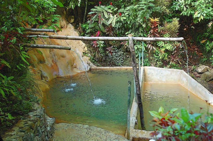
- Sulphur Springs Park (2.0km Northwest)
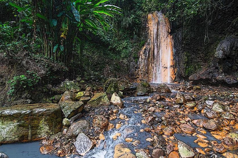
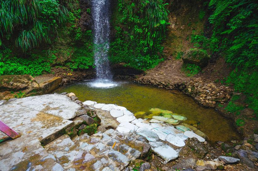
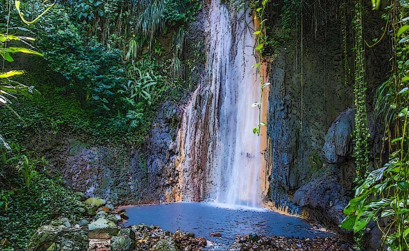
- Diamond Falls Botanical Gardens (2.5km Northwest)
- Piton Falls (3.0km Southwest)
- Anse Chastanet Beach (4.0km West)