Landmark: Tierra del Fuego National Park
City: Ushuaia
Country: Argentina
Continent: South America
Tierra del Fuego National Park, Ushuaia, Argentina, South America
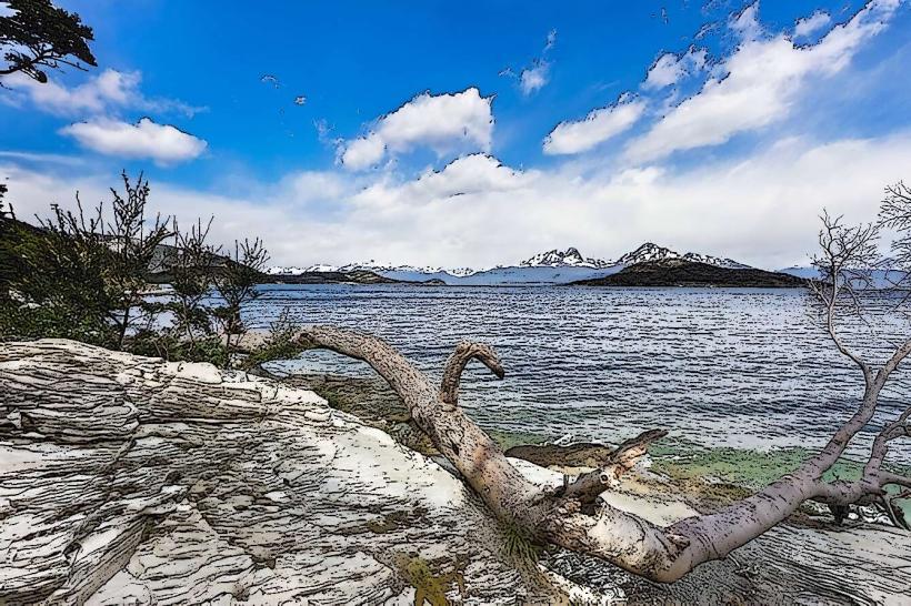
Tierra del Fuego National Park is an Argentinian protected area located at the southwestern tip of Patagonia. It encompasses a section of the Fuegian Andes and the Beagle Channel coastline.
Visual Characteristics
The park features a varied topography including mountains, forests, and coastlines. Dominant vegetation includes lenga (Nothofagus pumilio) and ñire (Nothofagus antarctica) forests, often displaying autumn colors from March to May. Glacial valleys and U-shaped formations are present. The coastline consists of rocky shores and small coves. Lake Roca (also known as Acigami) is a significant freshwater body within the park, with its water color varying from deep blue to green depending on light conditions.
Location & Access Logistics
The park entrance is situated approximately 11 kilometers west of Ushuaia. Access is via National Route 3 (Ruta Nacional 3), a paved road. The drive from Ushuaia's city center takes approximately 20-30 minutes. Parking is available at designated lots near the visitor center and trailheads. Public transport options include the "Bus del Parque" service, which operates seasonally from Ushuaia to the park entrance and key points within it.
Historical & Ecological Origin
Tierra del Fuego National Park was established on October 15, 1960, and expanded in 1971. Its ecological origin is primarily glacial, with the landscape shaped by the retreat of glaciers during the Quaternary period. The area is part of the Subantarctic biome, characterized by cool temperate forests and a maritime climate.
Key Highlights & Activities
Hiking is a primary activity, with marked trails such as the Coastal Path (Senda Costera) and the Cerro Guanaco trail. The Lapataia Bay viewpoint offers a panoramic vista. Kayaking is possible on the Beagle Channel within designated areas. Birdwatching is common, with species like the Magellanic woodpecker and various waterfowl present. Photography opportunities exist at viewpoints like the Lapataia Bay and the end of National Route 3.
Infrastructure & Amenities
A visitor center is located near the park entrance, providing information and maps. Restrooms are available at the visitor center and at key trailheads. Sheltered picnic areas are provided. Cell phone signal (4G) is intermittent and generally only available near the park entrance and visitor center. No food vendors are present within the park; visitors are advised to bring their own provisions.
Best Time to Visit
The best months for visiting are from October to April, corresponding to the Argentinian spring, summer, and early autumn. Summer (December to February) offers the mildest weather. For photography, early morning and late afternoon light provides optimal conditions for landscape shots. High tide is not a critical factor for most park activities, but can affect accessibility to certain coastal areas.
Facts & Legends
The park is home to the southernmost post office in the world, located at Bahía Lapataia, where visitors can send postcards. The area was historically inhabited by the Yaghan people, indigenous seafaring people of Tierra del Fuego.
Nearby Landmarks
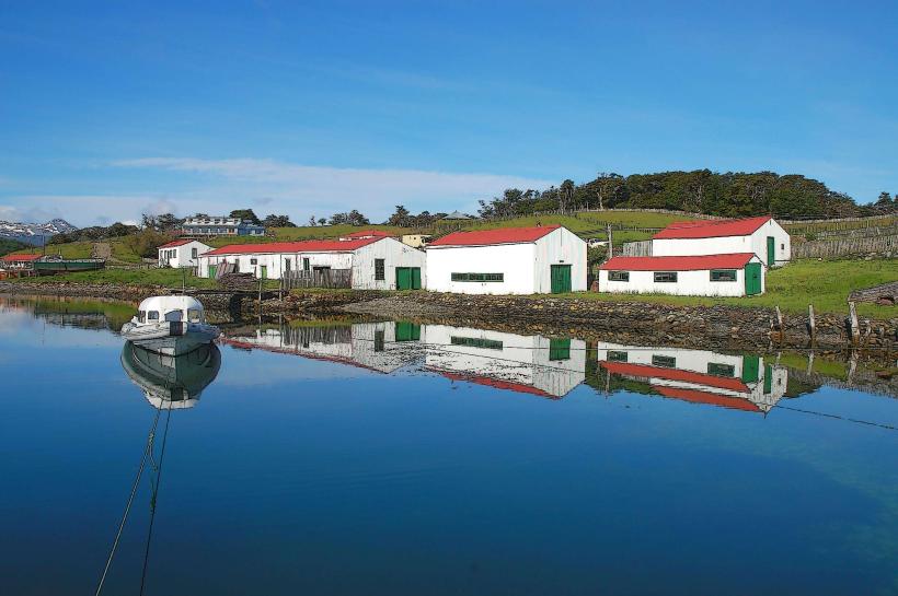
- Ushuaia City Center (11km East)
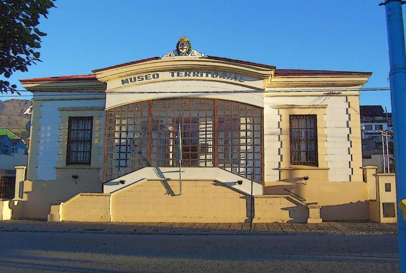
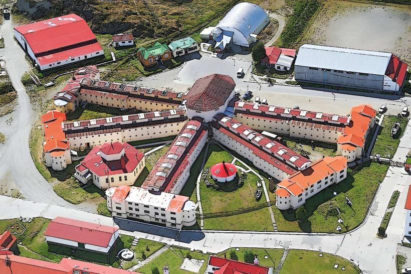
- Maritime Museum and Prison of Ushuaia (10km East)
- Glaciar Martial (15km Northeast)
- Beagle Channel Cruises Departure Points (11km East)