Information
Landmark: Timanfaya National ParkCity: Lanzarote
Country: Canary Islands
Continent: Europe
Timanfaya National Park, Lanzarote, Canary Islands, Europe
Timanfaya National Park is a protected area of volcanic landscape located in the southwestern part of Lanzarote, Canary Islands. It encompasses a vast expanse of solidified lava fields and volcanic cones resulting from 18th and 19th-century eruptions.
Visual Characteristics
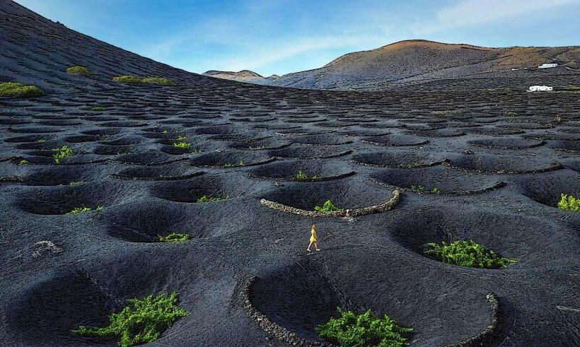
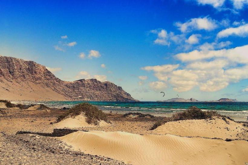
The park's terrain is characterized by a stark, arid volcanic landscape dominated by reds, browns, and blacks. It features numerous volcanic cones, extensive lava flows, and solidified magma formations. Vegetation is sparse, primarily consisting of lichens and some specialized plant species adapted to the harsh environment. The area is often referred to as the "Fire Mountains" (Montañas del Fuego) due to its geothermal activity.
Location & Access Logistics
Timanfaya National Park is situated within the municipalities of Yaiza and Tinajo. The main visitor access point, Islote de Hilario, is reached via the LZ-67 road. It is approximately 20 km west of Arrecife. A large parking area is available at Islote de Hilario. Access to the core volcanic route, the Ruta de los Volcanes, is restricted to guided bus tours departing from Islote de Hilario; private vehicles are not permitted on this specific route. Public transport does not directly serve the main visitor area; visitors typically arrive by rental car or organized tour buses.
Historical & Ecological Origin
The park's landscape was primarily formed by a series of massive volcanic eruptions that occurred between 1730 and 1736, and again in 1824. These eruptions covered approximately a quarter of Lanzarote's surface with lava and ash. The area was designated a national park in 1974, preserving its unique geological formations and extreme ecosystem.
Key Highlights & Activities
Visitors can experience the Ruta de los Volcanes, a guided bus tour that traverses the most dramatic volcanic landscapes. Geothermal demonstrations are conducted at Islote de Hilario, including dry brush ignition and water geysers, showcasing the heat just meters below the surface. Camel rides are available near the park's entrance, offering a different perspective of the surrounding volcanic terrain. The El Diablo restaurant at Islote de Hilario utilizes geothermal heat for cooking.
Infrastructure & Amenities
Restrooms are available at the Islote de Hilario visitor center and the Mancha Blanca Visitor and Interpretation Centre. Shade is limited within the volcanic landscape itself but can be found at the visitor facilities. Cell phone signal (4G/5G) is generally available at the main visitor points. Food is available at the El Diablo restaurant at Islote de Hilario, and a small shop is located at the Mancha Blanca Visitor Centre.
Best Time to Visit
The park can be visited year-round due to Lanzarote's consistent mild climate. The months of April-May and September-October offer pleasant temperatures and typically fewer crowds than the peak summer season. For photography, early morning or late afternoon provides softer light and more defined shadows across the volcanic formations. To avoid queues for the bus tour, it is advisable to arrive before 10:00 or after 14:00.
Facts & Legends
The name Timanfaya is believed to originate from a local aboriginal term. The 18th-century eruptions lasted for six years, burying several villages and vast areas of fertile land. The ground temperature just 10 meters below the surface at Islote de Hilario can reach 400-600°C. A practical tip for visitors is to arrive early to minimize waiting times for the bus tour, especially during high season.
Nearby Landmarks
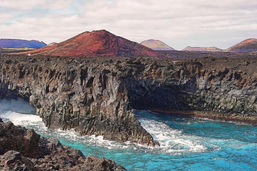
- Los Hervideros: Volcanic sea caves, approximately 2km Southwest.
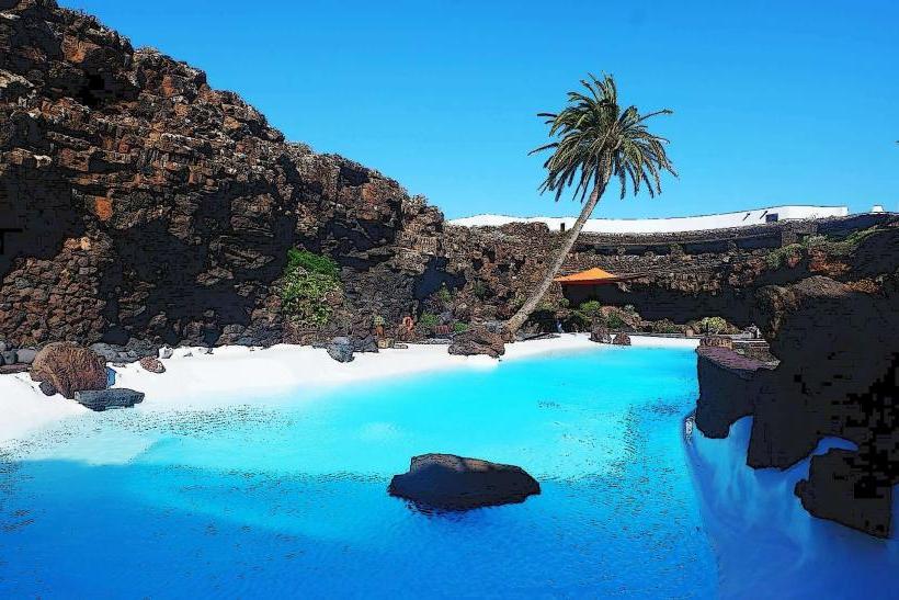
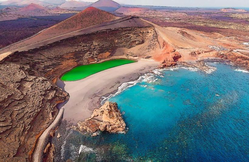
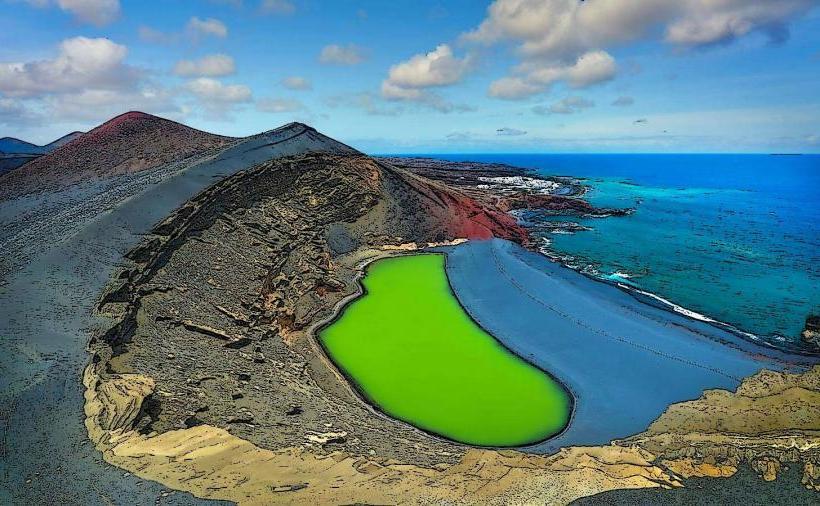
- El Golfo (Charco de los Clicos): Green lagoon, approximately 3km West.
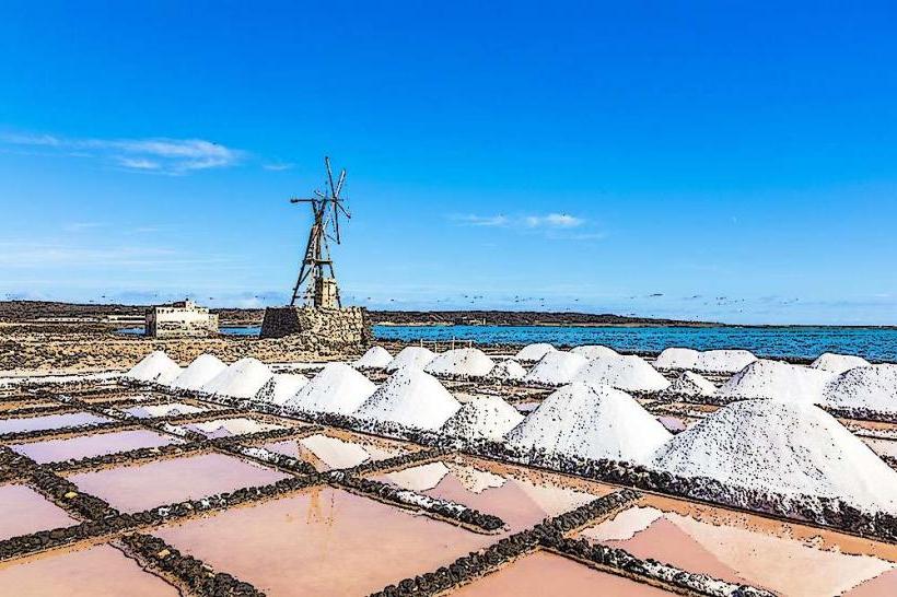
- Salinas de Janubio: Large salt flats, approximately 4km South.