Landmark: Trail Around Middlebury (TAM)
City: Middlebury
Country: USA Vermont
Continent: North America
Trail Around Middlebury (TAM), Middlebury, USA Vermont, North America
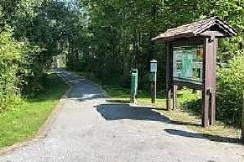
The Trail Around Middlebury (TAM) is a multi-use recreational path encircling the town of Middlebury, Vermont.
This network of trails provides access to natural areas and connects various points within the town.
Visual Characteristics
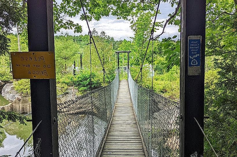
The TAM consists of gravel paths, paved sections, and natural dirt trails. Vegetation along the route includes deciduous forests, open fields, and riparian zones adjacent to the Middlebury River. Trail widths vary, generally between 1.5 to 3 meters. Elevation changes are gradual, with some steeper inclines on specific segments.
Location & Access Logistics
The TAM is accessible from multiple points within Middlebury. Trailheads are located near the Middlebury College campus, the Middlebury Union High School, and various public parks. Parking is available at designated lots at these access points. Public transport options are limited to local bus routes that stop near some trailheads; specific route numbers are 1 and 2, operated by Addison County Transit Resources.
Historical & Ecological Origin
The TAM project began in the late 1980s with the goal of creating a recreational loop. Portions of the trail utilize old rail beds and existing town paths. The ecological context is primarily temperate deciduous forest and riverine habitat, supporting a range of local flora and fauna.
Key Highlights & Activities
Activities include walking, running, cycling, and cross-country skiing in winter. Birdwatching is possible along the river sections. Specific segments offer views of the Middlebury River and surrounding agricultural land. The trail connects to the Middlebury Snow Bowl access road for those seeking more challenging terrain.
Infrastructure & Amenities
Restrooms are available at major access points such as the Middlebury Recreation Center and near the college campus. Shade is provided by tree cover along most wooded sections. Cell phone signal (4G/5G) is generally consistent throughout the trail network. No food vendors are directly located on the trail; options are available in the town center.
Best Time to Visit
For photography, early morning or late afternoon light offers optimal conditions. The best months for general use are May through October, with peak foliage in September and October. Winter use is dependent on snow cover for cross-country skiing.
Facts & Legends
A specific section of the TAM follows the former Rutland Railroad line, which ceased operations in the mid-20th century. Local lore suggests that during the construction of the original rail line, workers encountered unusually large quantities of smooth, river-worn stones, which were then incorporated into early roadbeds in the area.
Nearby Landmarks
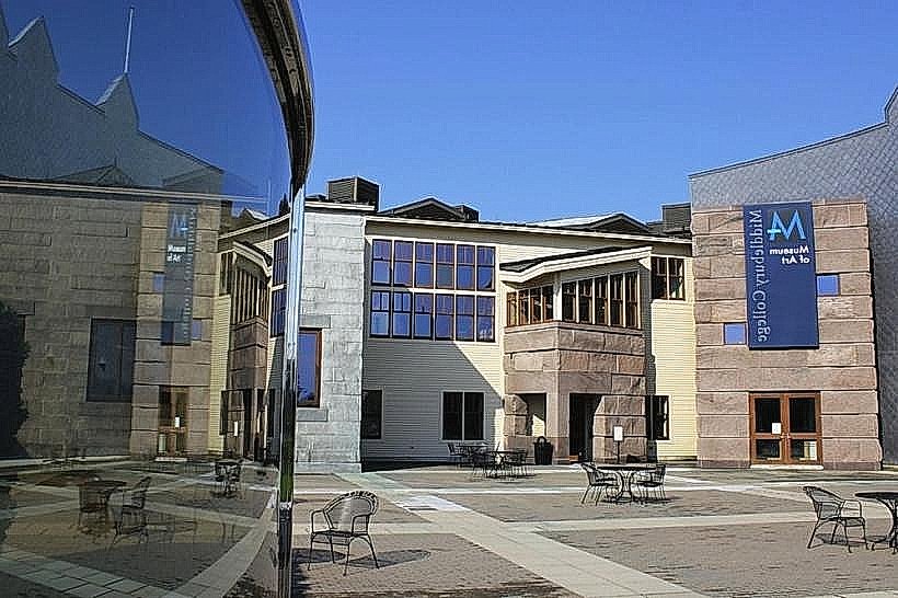
- Middlebury College Museum of Art (0.8km West)
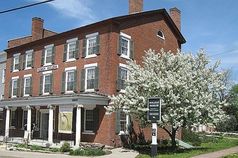
- Sheldon Museum of Art (1.2km West)
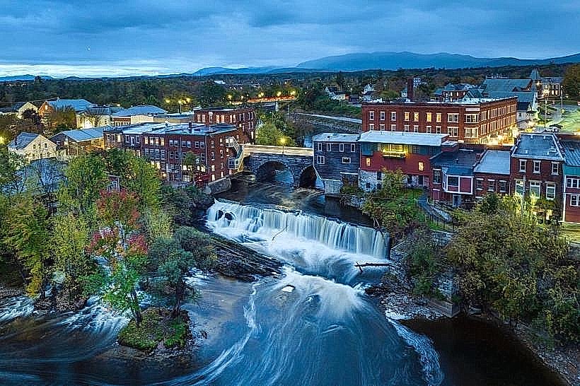
- Otter Creek Gorge (2.5km South)
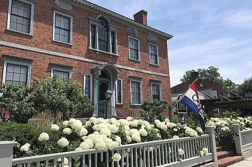
- Vermont Folklife Center (1.0km West)
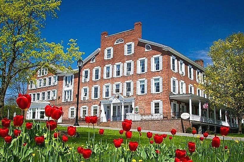
- Swift House Inn (1.3km West)