Landmark: Trinidad National Park
City: Sancti Spiritus
Country: Cuba
Continent: North America
Trinidad National Park, Sancti Spiritus, Cuba, North America
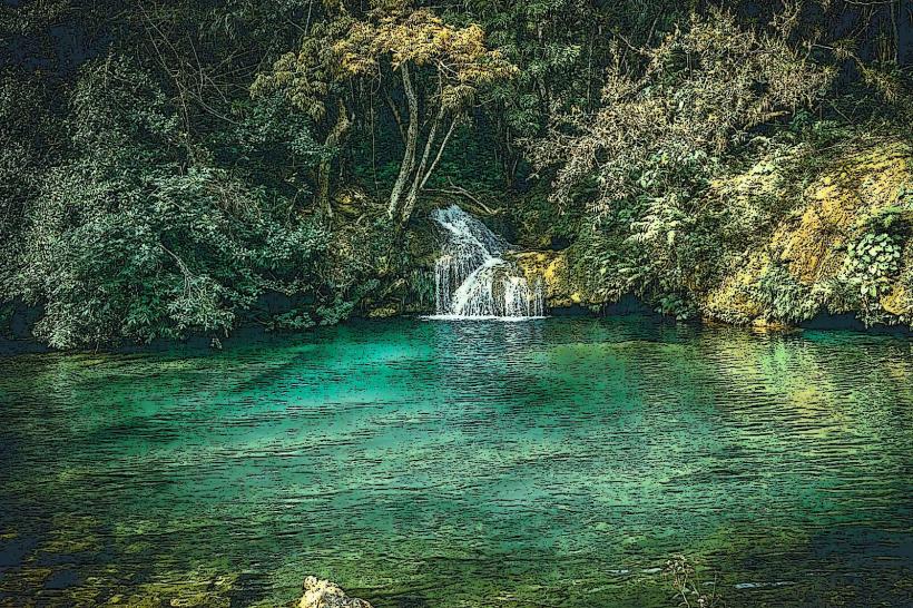
Trinidad National Park is a protected area located in the Sancti Spiritus Province of Cuba. It encompasses a significant portion of the Sierra del Escambray mountain range.
Visual Characteristics
The park features rugged mountainous terrain with elevations reaching over 1,000 meters. Vegetation is dense, primarily consisting of evergreen forests with a canopy cover of approximately 80%. Rock formations are predominantly limestone, with visible karst features such as sinkholes and caves. Water bodies include several rivers and small waterfalls, with water clarity varying based on rainfall.
Location & Access Logistics
The park is situated approximately 25 kilometers west of the city of Trinidad. Access is primarily via the Carretera de Topes de Collantes (Road to Topes de Collantes), a paved but winding mountain road. The main entrance is near the town of Topes de Collantes. Parking is available at designated points within Topes de Collantes, with limited capacity. Public transport options are scarce; shared taxis (taxis colectivos) from Trinidad to Topes de Collantes are the most common method, departing frequently from the Trinidad bus terminal.
Historical & Ecological Origin
Trinidad National Park was established to protect the unique biodiversity and geological features of the Sierra del Escambray. Ecologically, it is classified as a montane forest ecosystem. Historically, the area was utilized for agriculture and cattle ranching, with evidence of early settlements and trails still present. The region's karst topography is a result of millions of years of dissolution of soluble bedrock by rainwater.
Key Highlights & Activities
Hiking is a primary activity, with marked trails such as the Sendero El Cubano (El Cubano Trail) leading to waterfalls and caves. Guided nature walks are available from the visitor center in Topes de Collantes. Caving expeditions into specific cave systems require prior arrangement and a guide. Birdwatching is possible throughout the park, with opportunities to observe endemic species.
Infrastructure & Amenities
Restrooms are available at the visitor center in Topes de Collantes and at some trailheads. Shade is abundant due to the dense forest canopy. Cell phone signal (primarily 2G/3G) is intermittent and unreliable within the park, especially in deeper valleys. Food vendors and small restaurants are located in the town of Topes de Collantes, offering basic Cuban cuisine.
Best Time to Visit
The best time for visiting is during the dry season, from November to April, to minimize the impact of heavy rainfall on trails. Mornings, between 8:00 AM and 11:00 AM, offer optimal lighting for photography due to softer sunlight and reduced haze. High tide is not a relevant factor for this inland park.
Facts & Legends
A notable historical oddity is the presence of former guerrilla bases within the park, remnants of Cuba's revolutionary past. Local legend speaks of hidden treasures within the numerous caves, left by pirates or revolutionaries, though none have been officially verified.
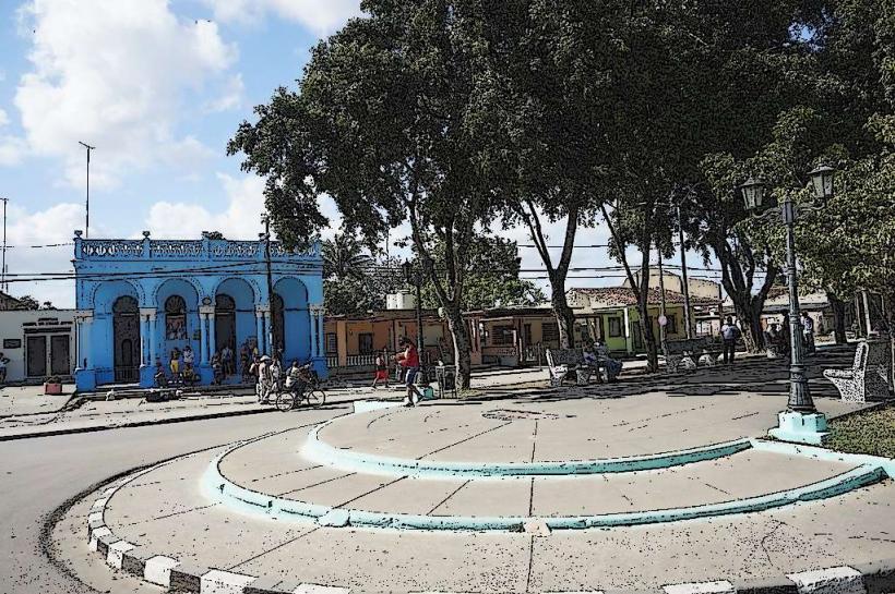
Nearby Landmarks
- Valle de los Ingenios (Valley of the Sugar Mills) - 5km Southeast
- Playa Ancón (Ancón Beach) - 15km South
- Museo Histórico Municipal de Trinidad (Trinidad Municipal Historical Museum) - 25km East
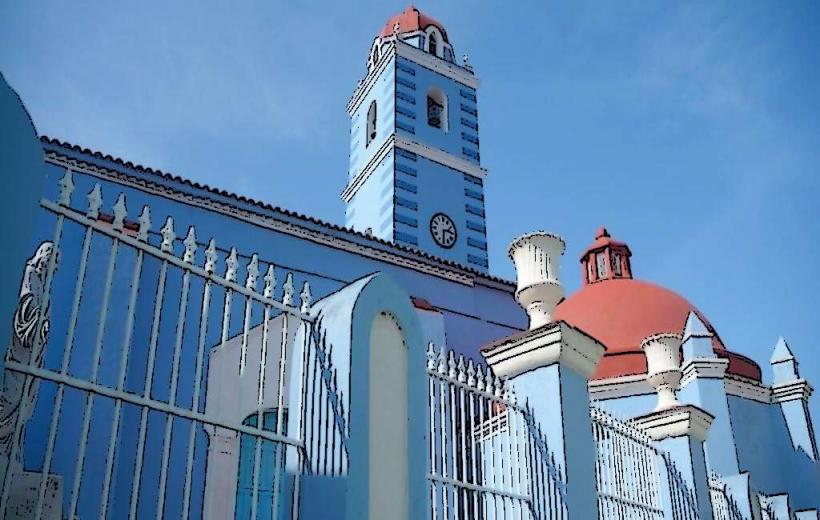
- Iglesia de la Santísima Trinidad (Church of the Holy Trinity) - 25km East
- Casa de la Música (House of Music) - 25km East