Landmark: Utrik Lagoon
City: Utrik Atoll
Country: Marshall Islands
Continent: Australia
Utrik Lagoon, Utrik Atoll, Marshall Islands, Australia
Utrik Lagoon is a coral atoll located in the northern part of the Marshall Islands. It is part of the Ralik Chain.
Visual Characteristics
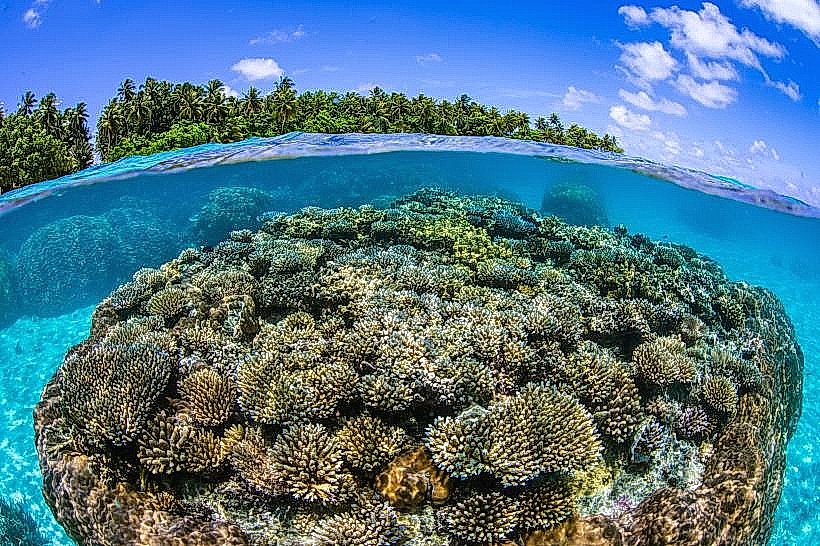
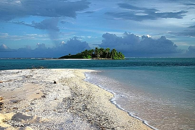
The lagoon is approximately 3 kilometers (1.9 miles) in diameter, enclosed by a ring of coral reefs and islets. The water within the lagoon is generally shallow, with depths ranging from 1 to 5 meters (3.3 to 16.4 feet). The islets are low-lying, composed of coral sand and supporting sparse vegetation, primarily coconut palms and low shrubs.
Location & Access Logistics
Utrik Atoll is situated approximately 450 kilometers (280 miles) northwest of Majuro Atoll. Access is primarily via small aircraft to Utrik Airfield (UUK), which has unpaved runways. There are no regular ferry services. Inter-island transport is infrequent and dependent on local charter flights or occasional supply vessels.
Historical & Ecological Origin
Utrik Atoll is a classic example of a coral atoll, formed by the gradual subsidence of a volcanic island, with coral reefs growing upwards to form the present structure. Historically, the atoll has been inhabited by Marshallese people for centuries, with a focus on subsistence fishing and copra production.
Key Highlights & Activities
Activities are limited due to the remote location and lack of infrastructure. Opportunities include observing local fishing practices, exploring the small inhabited islets, and observing marine life within the lagoon. Snorkeling is possible in the shallow reef areas, but visibility can vary.
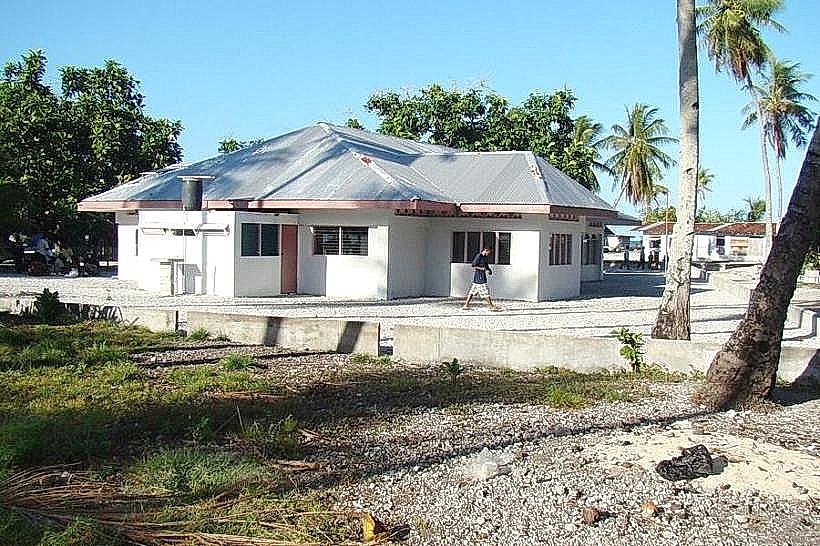
Infrastructure & Amenities
Basic amenities are minimal. There are no formal tourist facilities. Restrooms are not publicly available. Shade is provided by coconut palms on the islets. Cell phone signal is unreliable and generally absent. Food vendors are not present; visitors must bring their own provisions.
Best Time to Visit
The dry season, from January to April, offers the most favorable weather conditions with less rainfall. The best time of day for photography is generally mid-morning or late afternoon to avoid harsh overhead sunlight. Tidal conditions do not significantly impact access to the lagoon itself, but can affect reef exploration.
Facts & Legends
Utrik Atoll was one of the locations affected by radioactive fallout from the 1954 Castle Bravo nuclear test at Bikini Atoll. Residents were temporarily evacuated and later returned, with ongoing health monitoring programs. A local legend speaks of a giant clam that once guarded the entrance to the lagoon.
Nearby Landmarks
- Ailuk Atoll (100km Northeast)
- Mejit Atoll (150km Southeast)
- Wotho Atoll (200km Southwest)