Landmark: Valle de los Ingenios
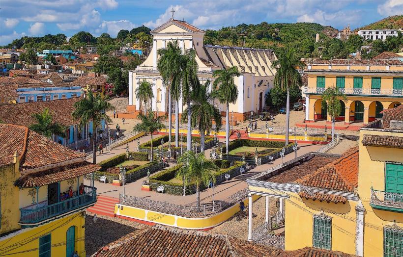
City: Trinidad
Country: Cuba
Continent: North America
Valle de los Ingenios, Trinidad, Cuba, North America
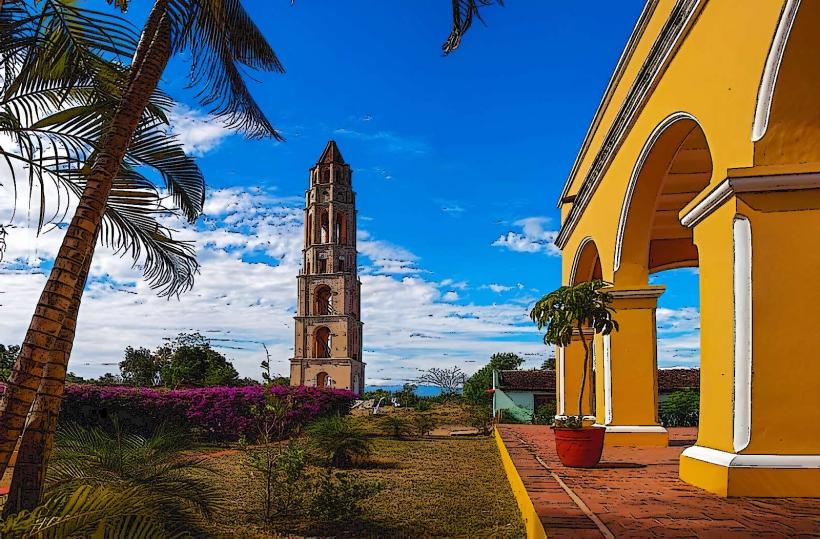
Valle de los Ingenios, also known as the Valley of the Sugar Mills, is a UNESCO World Heritage site located east of Trinidad, Cuba.
This valley preserves the remnants of the sugar industry that dominated the region from the late 18th to the late 19th centuries.
Visual Characteristics
The landscape is characterized by rolling hills, fertile plains, and scattered remnants of colonial-era sugar plantations. Structures include ruined sugar mills (ingenios), slave quarters (barracones), and manor houses (casas de hacienda). Vegetation is predominantly tropical, with dense foliage, palm trees, and sugarcane fields.
Location & Access Logistics
Valle de los Ingenios is situated approximately 12 kilometers east of Trinidad. Access is primarily via the Carretera de Trinidad a Sancti Spíritus. Rental cars and taxis are the most common modes of transport. Public bus services do not directly service the valley; visitors typically arrange transport from Trinidad. Parking is available at designated points near major ruins, such as the Manaca Iznaga tower.
Historical & Ecological Origin
The valley's historical significance stems from its role as a major center for sugar production during Cuba's colonial period. The economic boom fueled by sugar cultivation led to the construction of numerous mills and associated infrastructure. Ecologically, the area is a tropical savanna environment, shaped by centuries of agricultural activity.
Key Highlights & Activities
Exploration of the ruins of sugar mills, including the well-preserved Manaca Iznaga sugar mill complex. Climbing the Manaca Iznaga tower offers panoramic views of the valley. Visitors can observe the remains of barracones and learn about the history of sugar production and slavery. Horseback riding tours are available through the valley.
Infrastructure & Amenities
Limited infrastructure exists within the valley itself. Restrooms are available at the Manaca Iznaga site. Shade is provided by natural vegetation and some structures. Cell phone signal can be intermittent. Small food stalls and vendors are sometimes present near the Manaca Iznaga tower, offering local snacks and drinks.
Best Time to Visit
The best time of day for photography is in the morning or late afternoon when the sunlight is less direct, creating longer shadows across the ruins and landscape. The dry season, from November to April, offers the most pleasant weather with lower humidity and less rainfall. High tide or low tide is not a relevant consideration for this landlocked site.
Facts & Legends
The Manaca Iznaga tower is said to have a bell that was rung to signal the start and end of work for enslaved laborers. A local legend suggests that the tower's bell was also used to warn of approaching storms or slave revolts. The valley's name directly reflects its historical economic importance.
Nearby Landmarks
- Manaca Iznaga Tower (0.1km North)
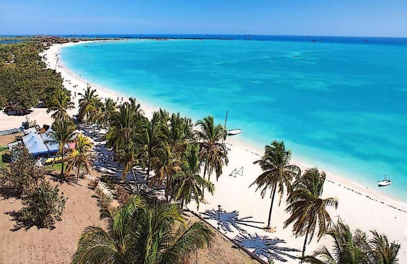
- Playa Ancón (10km Southwest)
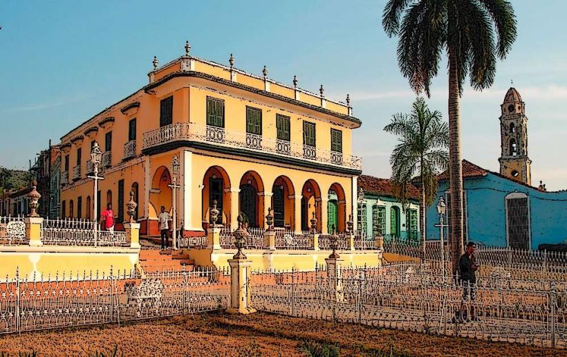
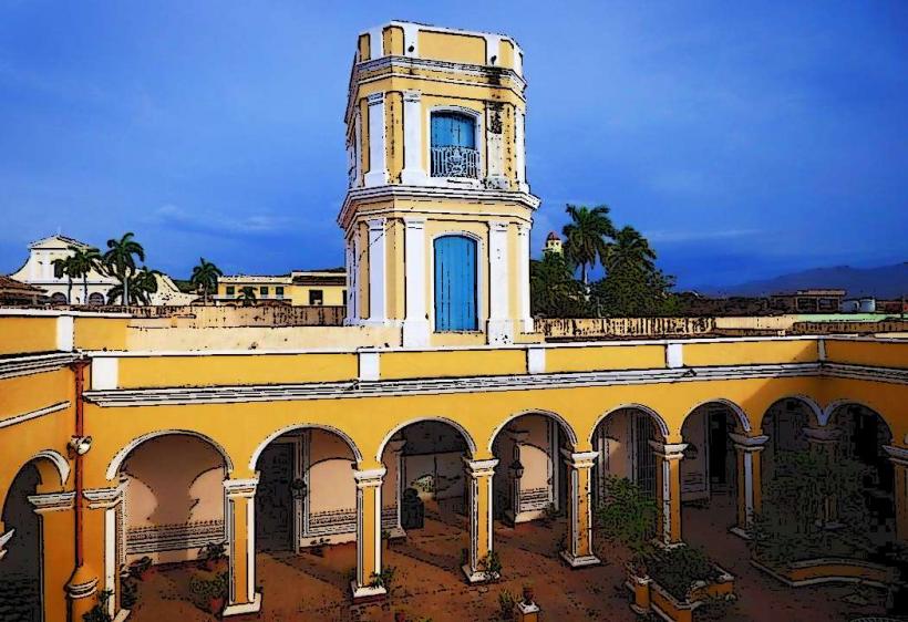
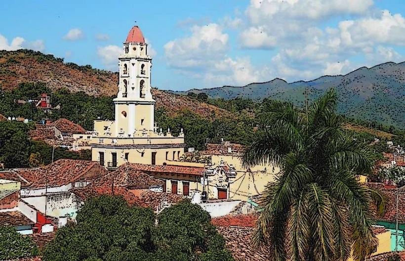
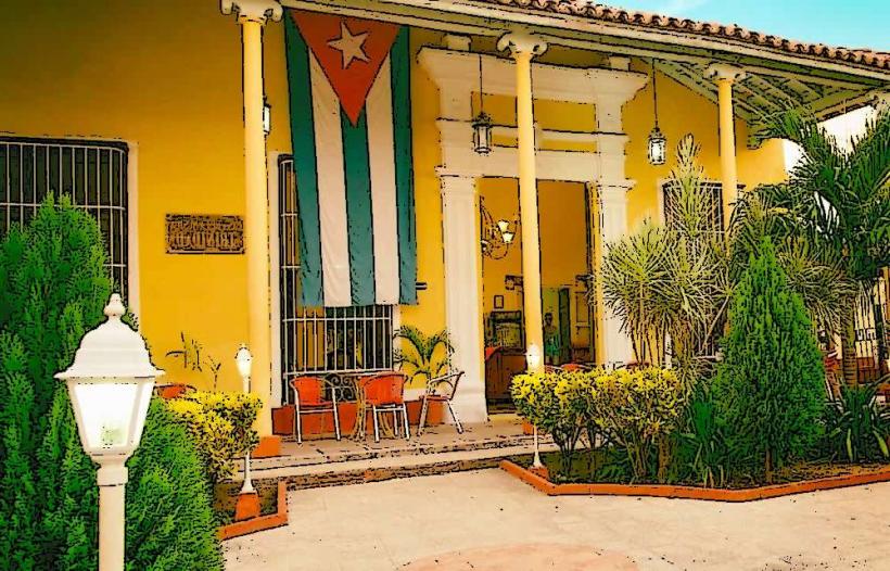
- Trinidad Historic Center (12km West)
- Topes de Collantes (25km Northwest)