Landmark: Vidden Trail
City: Bergen
Country: Norway
Continent: Europe
Vidden Trail, Bergen, Norway, Europe
The Vidden Trail is a mountain hiking route connecting the summits of Mount Fløyen and Mount Ulriken, situated above the city of Bergen, Norway.
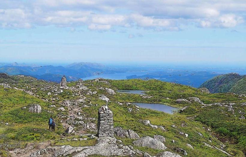
This 13-kilometer trail offers panoramic views of the city, surrounding fjords, and archipelago.
Visual Characteristics
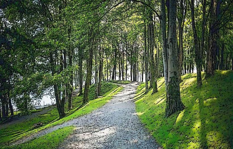
The trail traverses open mountain terrain, characterized by rocky paths, peat bogs, and sections of wooden boardwalks. Dominant vegetation includes heather, grasses, and dwarf birch. The landscape features exposed rock formations and small tarns. Elevations range from approximately 320 meters at Mount Fløyen to 643 meters at Mount Ulriken.
Location & Access Logistics
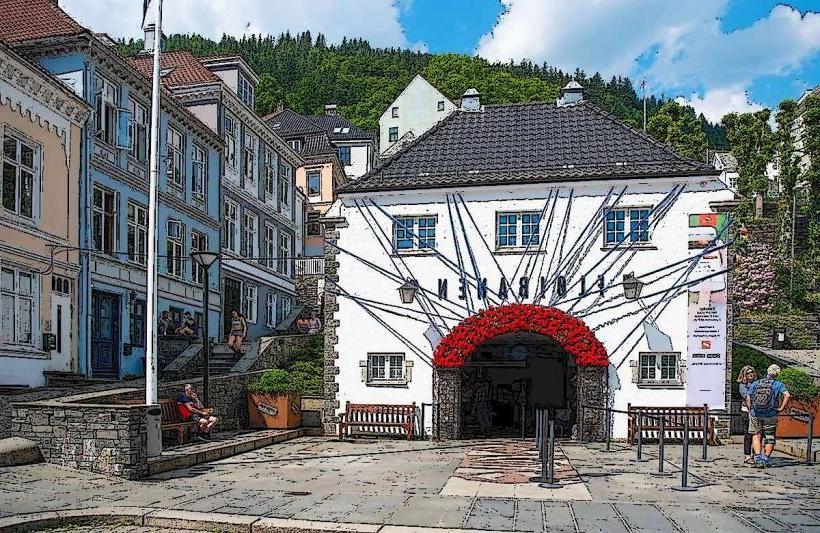
The trail connects the summits of Mount Fløyen and Mount Ulriken. Access to Mount Fløyen is via the Fløibanen Funicular, located 0.5km from Bergen city center. Access to Mount Ulriken is via the Ulriksbanen cable car, whose base station is approximately 4km southeast of the city center, reachable by bus line 12 from Festplassen. Limited parking is available at the Ulriken base station. No direct road access exists along the trail itself.
Historical & Ecological Origin
The Vidden Trail is a natural mountain path, maintained for recreational use. The surrounding landscape is part of the Bergen peninsula's geological formation, shaped by glacial erosion during the last ice age, resulting in the characteristic U-shaped valleys and exposed bedrock.
Key Highlights & Activities
Hiking the full 13km trail is the primary activity, typically taking 4-6 hours. Trail running is also common. Panoramic photography opportunities are available along the entire route, capturing views of Bergen, the North Sea, and the surrounding mountains. Picnicking is possible at various points along the trail.
Infrastructure & Amenities
Restrooms are available at the summit stations of Mount Fløyen and Mount Ulriken. There are no restrooms directly on the trail. Shade is minimal, as the trail is largely exposed mountain terrain. Cell phone signal (4G/5G) is generally available along the entire route. Food vendors and restaurants are located at the summit stations of Mount Fløyen and Mount Ulriken; no facilities exist between these points.
Best Time to Visit
The optimal period for visiting is from late May to early October, when the trail is typically free of snow and ice. Early mornings offer clearer views and fewer hikers. Late afternoons can provide dramatic lighting for photography, particularly towards sunset from either summit. No specific high/low tide requirements apply to this mountain trail.
Facts & Legends
The Vidden Trail is a segment of the "Seven Mountains" challenge, a local tradition involving hiking all seven peaks surrounding Bergen. A practical tip for visitors is to check the local weather forecast immediately before starting, as conditions on the exposed plateau can change rapidly and differ significantly from the city below.
Nearby Landmarks
- Mount Fløyen: 0km (start/end point)
- Mount Ulriken: 0km (start/end point)
- Bryggen: 3km West (from Fløyen summit)
- Bergen Fish Market: 3.5km West (from Fløyen summit)
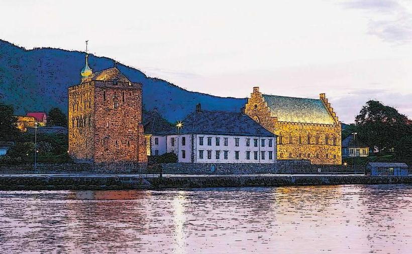
- Bergenhus Fortress: 4km West (from Fløyen summit)