Landmark: Wallowa Mountains Scenic Byway
City: Joseph
Country: USA Oregon
Continent: North America
Wallowa Mountains Scenic Byway, Joseph, USA Oregon, North America
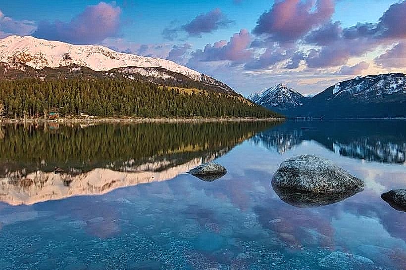
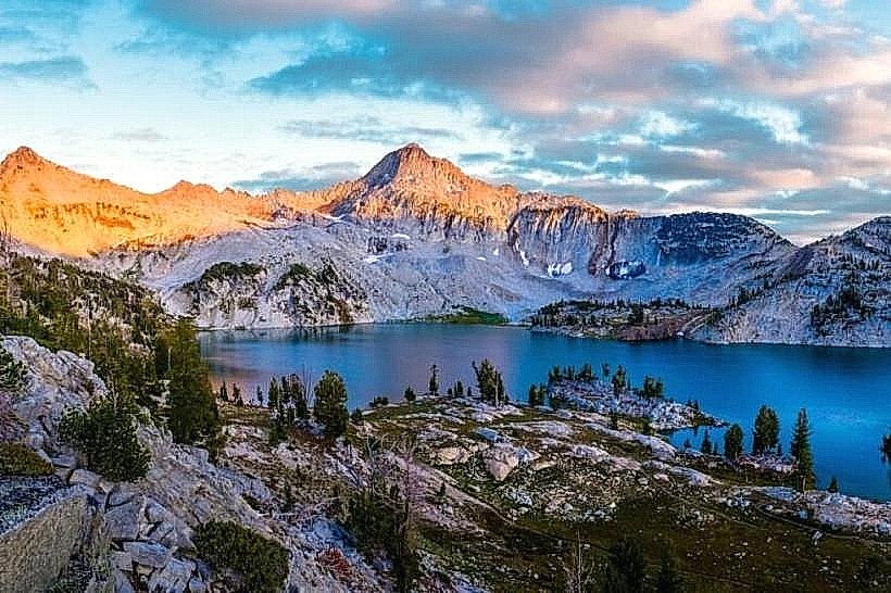
The Wallowa Mountains Scenic Byway is a designated route traversing the Wallowa Mountains in northeastern Oregon. It is located near the city of Joseph, Oregon.
Visual Characteristics
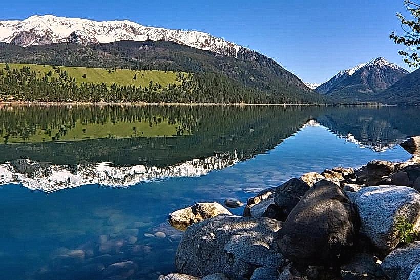
The byway passes through varied terrain. Expect to see dense coniferous forests, alpine meadows, and exposed granite peaks. The Wallowa River, a glacial meltwater stream, runs through the valley, exhibiting clear, cold water. Elevation ranges from approximately 4,000 feet in the valley to over 8,000 feet at higher passes.
Location & Access Logistics
The byway begins at the junction of Oregon Route 350 and Oregon Route 82, approximately 3 miles west of Joseph. It follows Oregon Route 350 east for 2 miles to Joseph, then continues on Oregon Route 351 (also known as the Old Joseph Highway) for 10 miles to the community of Wallowa. From Wallowa, the byway follows Oregon Route 174 west for 18 miles to the town of Enterprise. The total length of the designated byway is approximately 33 miles. Access is via paved state highways. Parking is available at designated pull-offs and in the towns along the route. No specific public transport services operate directly along the byway.
Historical & Ecological Origin
The Wallowa Mountains are a subrange of the Blue Mountains, primarily formed by uplift and erosion of ancient volcanic rock. Glacial activity in the Pleistocene epoch carved out the U-shaped valleys and cirques visible today. The area has a long history of human habitation, including the Nez Perce tribe, who considered the Wallowa Valley a sacred homeland. The designation as a Scenic Byway occurred in 1988 to preserve and promote its natural and cultural significance.
Key Highlights & Activities
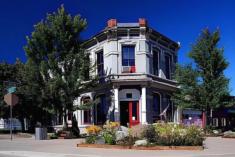
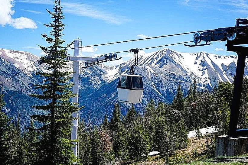
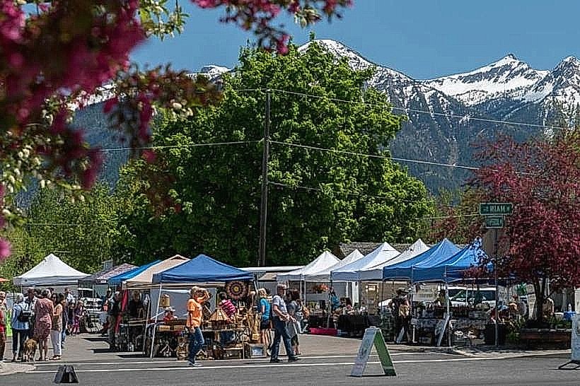
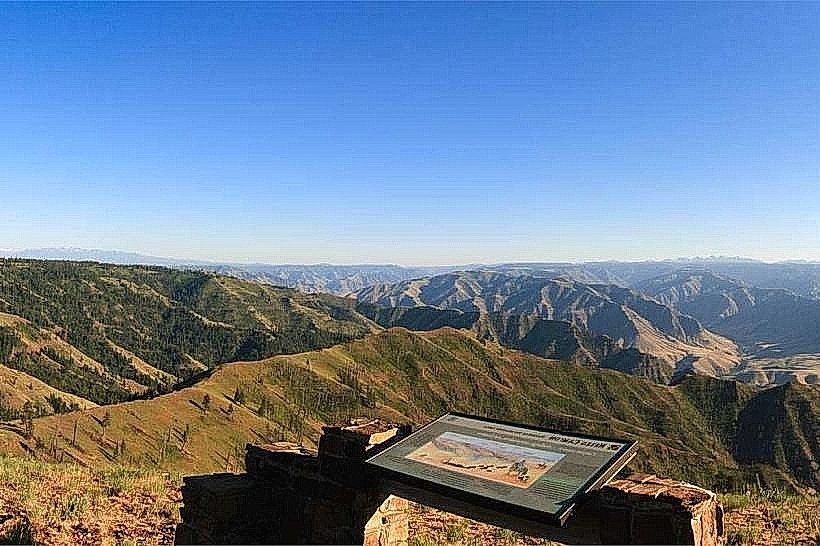
Opportunities include scenic driving with frequent pull-offs for photography. Hiking trails are accessible from various points, including the trails leading into the Eagle Cap Wilderness. Wildlife viewing is possible, particularly for deer, elk, and various bird species. Fishing is permitted in designated areas of the Wallowa River. The towns of Joseph and Enterprise offer access to local shops and galleries.
Infrastructure & Amenities
Restrooms are available in the towns of Joseph, Wallowa, and Enterprise. Limited shade is present in forested sections; open areas offer no natural cover. Cell phone signal is intermittent and generally unreliable along the more remote stretches of the byway. Food vendors and restaurants are concentrated in the towns along the route.
Best Time to Visit
The byway is typically accessible from late May through October, depending on snowpack. For optimal driving conditions and access to higher elevation trails, July and August are recommended. Mid-morning and late afternoon provide favorable lighting for photography due to lower sun angles. No tide considerations apply.
Facts & Legends
The Wallowa Mountains are often referred to as the "Alps of Oregon" due to their rugged, glaciated peaks. A significant historical event associated with the area is the Nez Perce War of 1877, which involved Chief Joseph and his people's attempt to evade U.S. Army forces. Local lore speaks of spirits residing in the high mountain lakes.
Nearby Landmarks
- Wallowa Lake State Park (0.5km South)
- Eagle Cap Wilderness (Access points along the byway)
- Joseph (Town) (Adjacent to the byway)
- Enterprise (Town) (Adjacent to the byway)
- Nez Perce National Historical Park (Various sites, furthest approximately 50km East)