City: Dakar
Country: Senegal
Continent: Africa
Dakar, Senegal, Africa
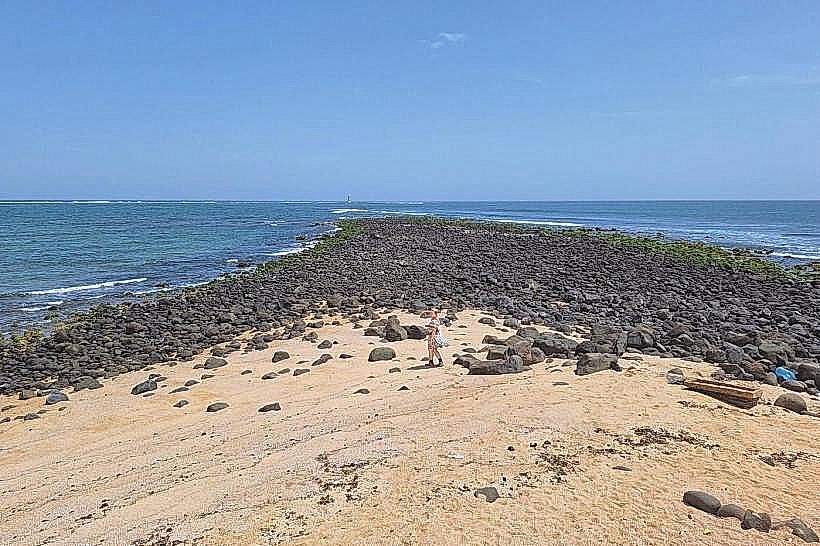
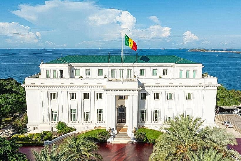
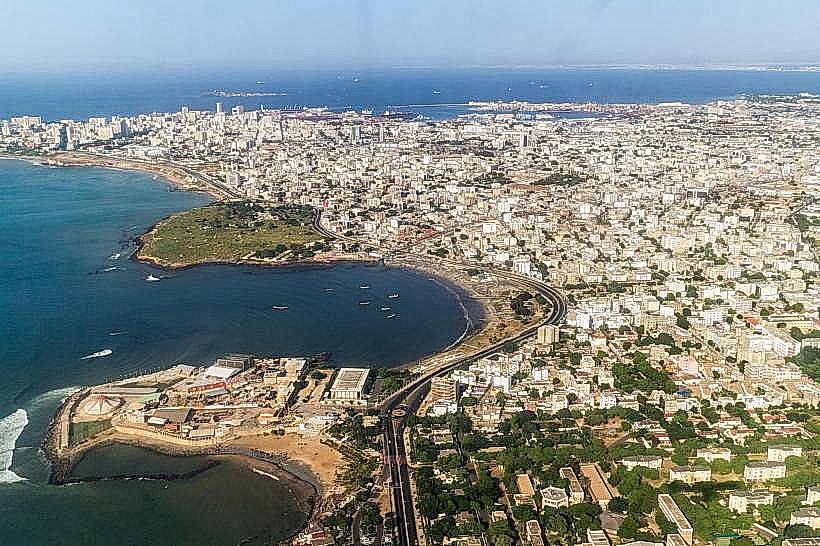
Dakar serves as the administrative and financial capital of Senegal and the westernmost point of the African continent. Its position on the Cap-Vert Peninsula makes it a critical Atlantic port and a gateway for trade between Africa, Europe, and the Americas.
Historical Timeline
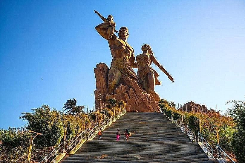
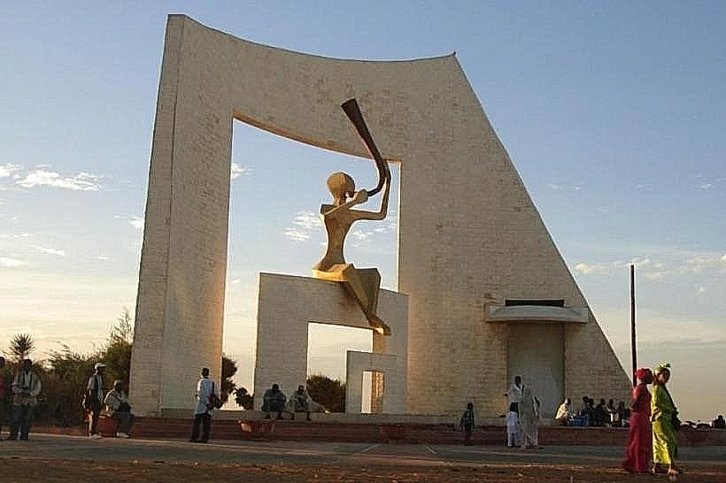
Founded in 1857 as a French colonial settlement, Dakar served as the capital of the French West Africa federation from 1902 until 1960, when it became the capital of independent Senegal. The city’s most significant architectural and political reconstruction occurred in the lead-up to the 1960 independence and during the subsequent "Senghorian" era, which focused on modernizing infrastructure. The 2010 completion of the African Renaissance Monument and the recent development of the Diamniadio urban pole represent the most significant recent shifts in the city's urban form.
Demographics & Population
The total population within the city limits is approximately 1.2 million, while the greater metropolitan area exceeds 3.9 million. The top three ethnic demographics are the Wolof (approx. 40%), Pulaar (20%), and Serer (15%). The median age is approximately 19 years.
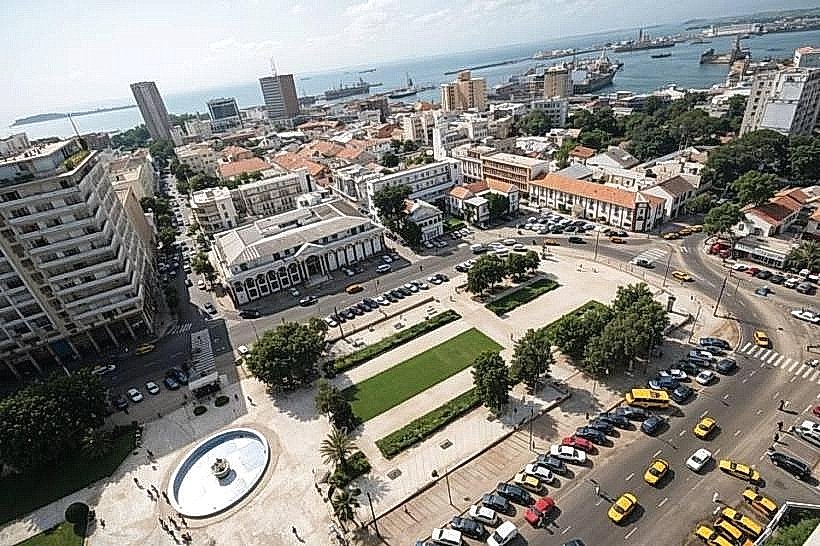
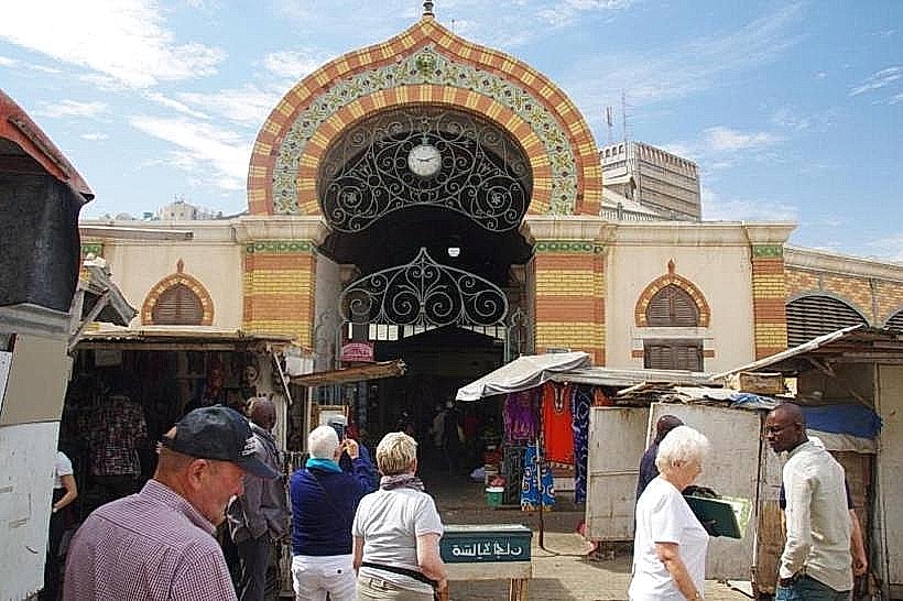
Urban Layout & Key Districts
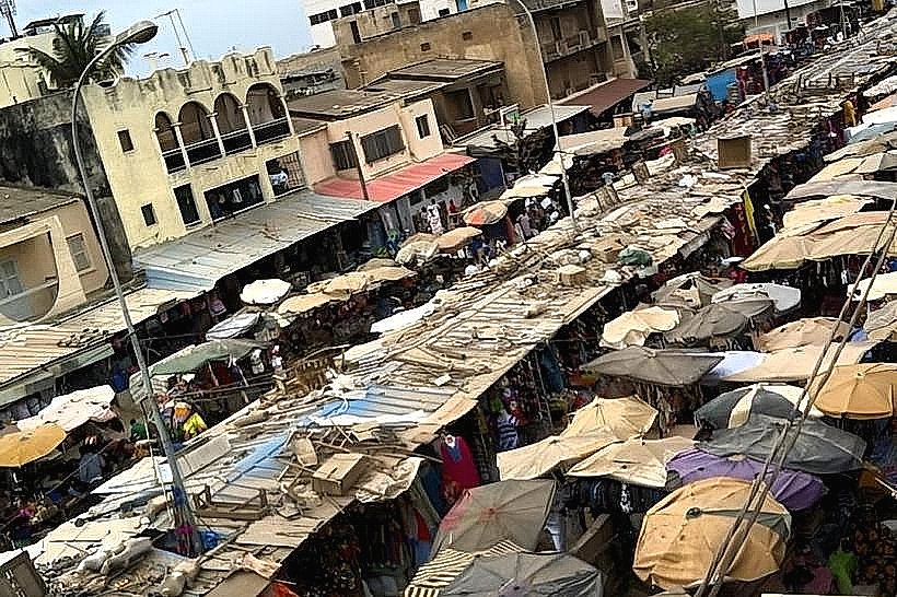
The city is organized linearly along the Cap-Vert Peninsula, narrowing toward the tip. Plateau (South) is the historic administrative and business district; Almadies (Northwest) is the primary upscale diplomatic and nightlife hub; and Medina (Central) is a high-density, grid-patterned traditional neighborhood.
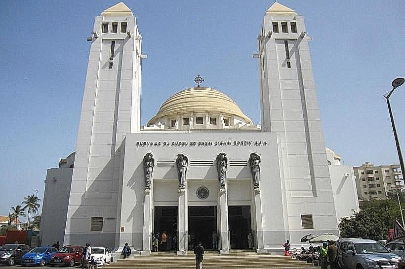
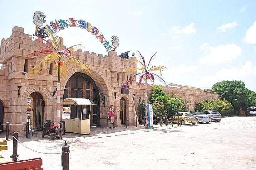
Top City Landmarks
African Renaissance Monument
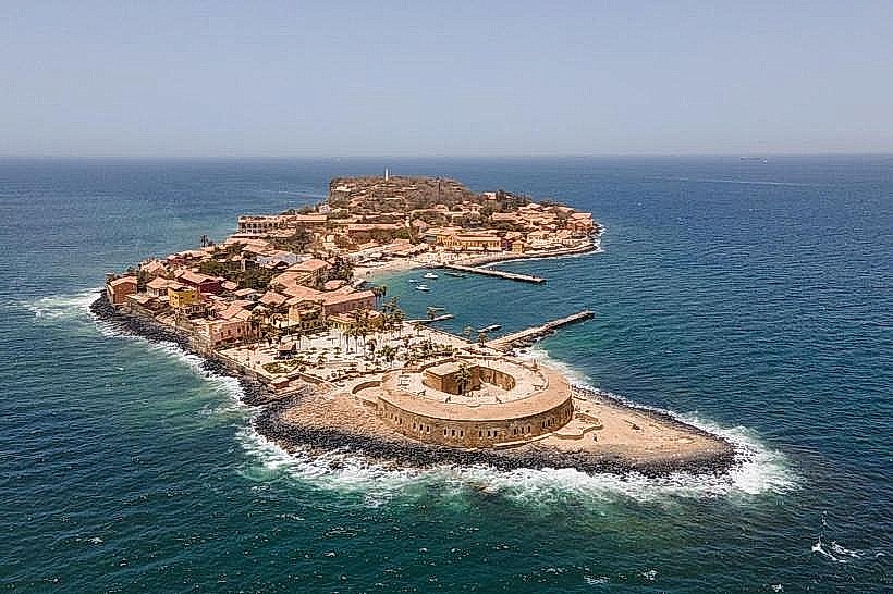
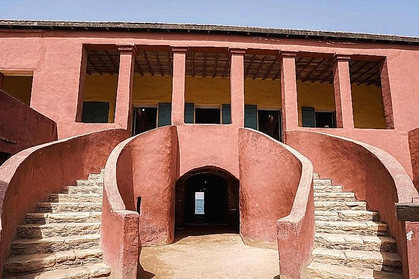
Gorée Island (Maison des Esclaves)
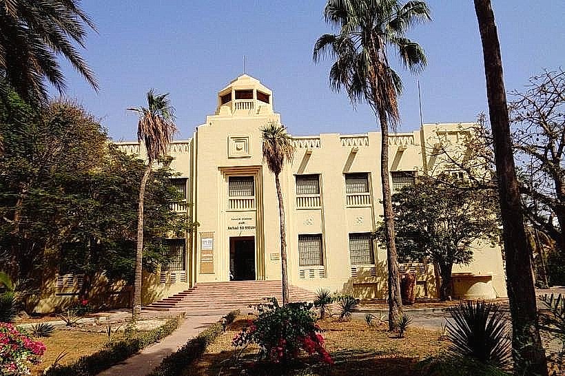
IFAN Museum of African Arts
Cathedral of Dakar
Transportation Network
Movement within the city is conducted via the Train Express Régional (TER) for suburban transit, the Bus Rapid Transit (BRT) lines, and "Car Rapides" (colorfully painted minibuses). Ride-sharing is available through apps like Heetch and Yango. Official taxis are painted yellow and black; they are unmetered, requiring fare negotiation before departure. Traffic density is severe, particularly on the Corniche and Autoroute 1 during peak morning and evening hours.
Safety & "Red Zones"
The general safety level is moderate, but petty crime is common. Areas to avoid on foot at night include the beaches of the Corniche, the Port area, and certain sections of Grand Yoff. Common scams involve "touts" at the airport or port offering unsolicited guide services and overcharging for simple assistance.
Digital & Financial Infrastructure
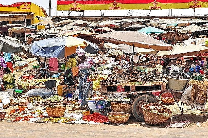
Average fixed broadband speed is 25-50 Mbps. Main mobile carriers are Orange, Free (formerly Tigo), and Expresso. Card acceptance is moderate in Almadies and Plateau but low in local markets; cash remains the primary medium. ATMs (GAB) are widely available in commercial zones.
Climate & Air Quality
Temperatures range from 18°C to 25°C from December to April and 24°C to 31°C from May to November. The rainy season occurs between July and October. Air quality is often impacted by dust from the Harmattan winds between December and February and vehicle emissions in the city center.
Culture & Social Norms
Tipping is expected in restaurants (approx. 10%). A handshake is the standard greeting, often accompanied by the phrase "Salaam Alaikum." Dress code is generally modest, reflecting the majority Muslim population. Alcohol is available in licensed bars and hotels but public intoxication is socially discouraged. Smoking is restricted in many indoor public spaces.
Accommodation Zones
Almadies: Stay here for proximity to international organizations, restaurants, and a more westernized logistical environment.
Plateau: Stay here for walking access to government buildings, banks, and the ferry terminal to Gorée Island.
Local Cost Index
1 Espresso: 1,500 XOF (2.50 USD)
1 Standard Lunch: 3,500 XOF (5.80 USD)
1 Metro/Bus Ticket: 500 XOF (0.85 USD)
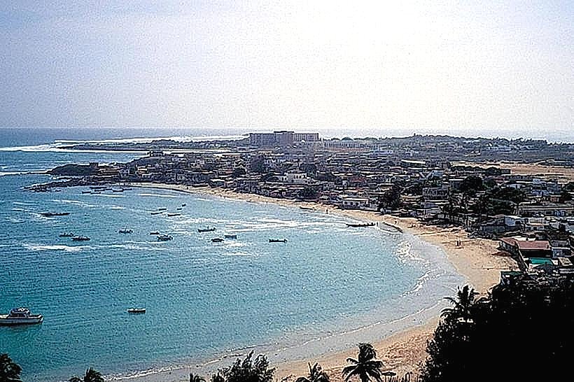
Nearby Day Trips
Gorée Island: 3 km (20-minute ferry ride)
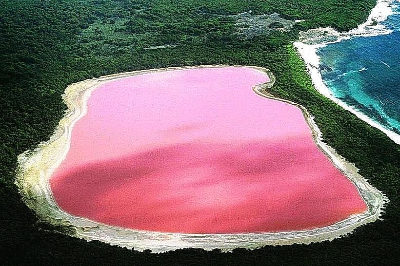
Lake Retba (Pink Lake): 35 km
Bandia Nature Reserve: 65 km
Popenguine: 70 km
Facts & Legends
Dakar is the site of a persistent local legend regarding the "Djinn" (spirits) of the peninsula. Locals often cite the myth of Mame Coumba Bang, a protective female spirit believed to reside at the mouth of the Senegal River or the Atlantic coast. It is traditionally said that urban projects or maritime ventures must respect her presence to avoid misfortune, a belief that still influences local ceremonies and coastal community behavior.