City: Karongi
Country: Rwanda
Continent: Africa
Karongi, Rwanda, Africa
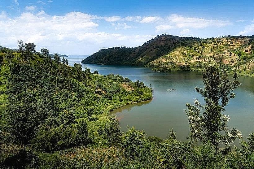
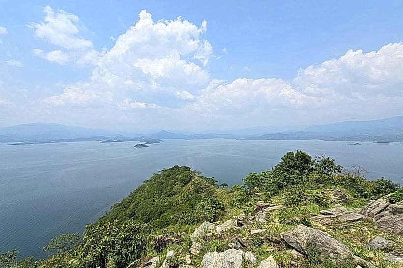
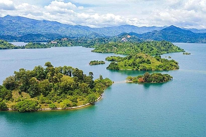
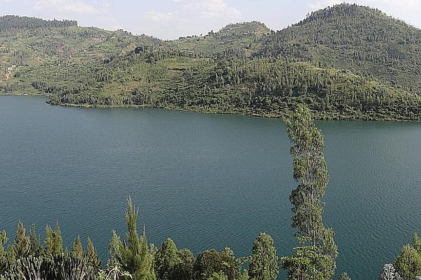
Karongi serves as the primary administrative capital of the Western Province and a major transport hub on the eastern shores of Lake Kivu. The city is situated on a series of steep, verdant peninsulas at an average elevation of 1,470 meters.
Historical Timeline
The city, formerly known as Kibuye, was established as a colonial administrative center during the Belgian mandate. It underwent its most significant political and infrastructural transformation following the 1994 genocide, which necessitated a total reconstruction of the administrative and commercial sectors. The primary event shaping the current urban form was the 2006 territorial reform, which designated Karongi as the provincial capital and initiated the "Kivu Belt" road project, connecting the city to the national highway network.
Demographics & Population
The population of the Karongi district is approximately 370,000, with roughly 48,000 residents living within the urbanized hilly sectors. The demographic is almost entirely Rwandan, supplemented by a small number of international conservationists and energy sector engineers. The median age of the population is 19.6 years.
Urban Layout & Key Districts
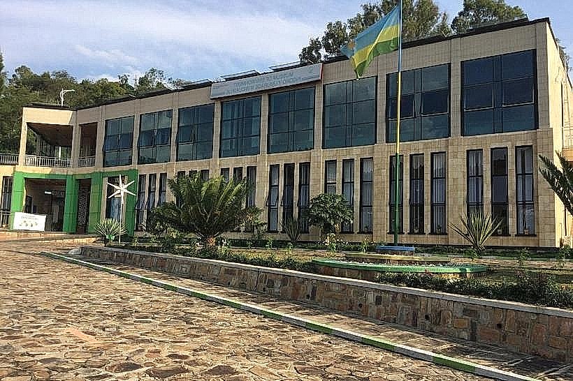
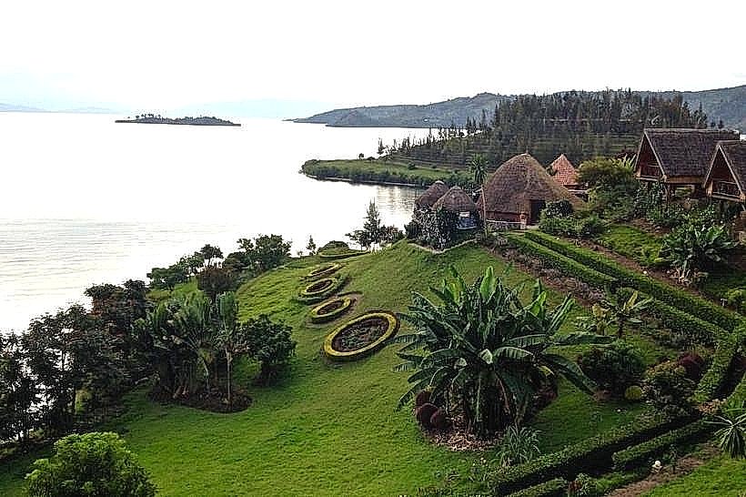
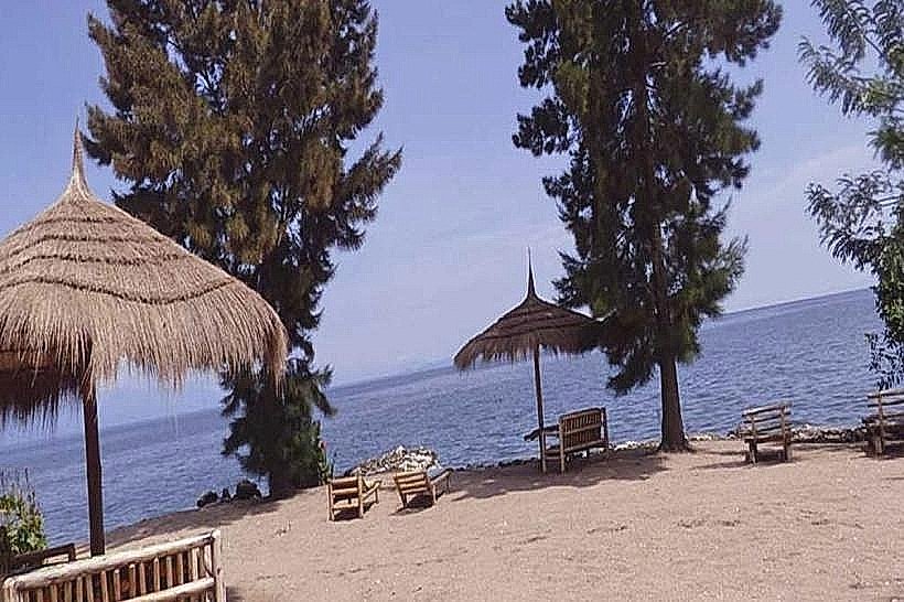
The city is organized topographically across three main peninsulas. The Administrative Ridge houses the provincial offices and the main bus terminal. The Lakeshore District (Bwishyura) is the primary zone for tourism, hotels, and boat departures. The Market Hill serves as the commercial core where local trade and agriculture intersect.
Top City Landmarks
Museum of Environment: The only museum of its kind in Rwanda, featuring a rooftop herbal garden and exhibits on renewable energy.
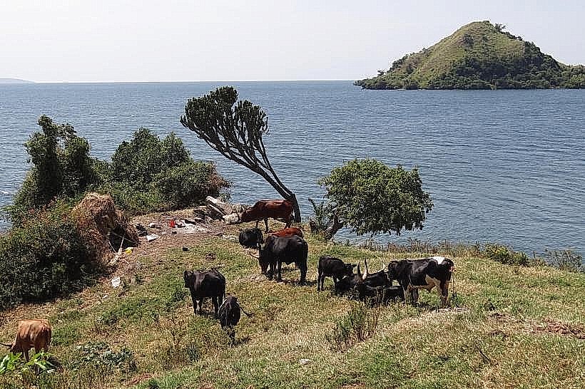
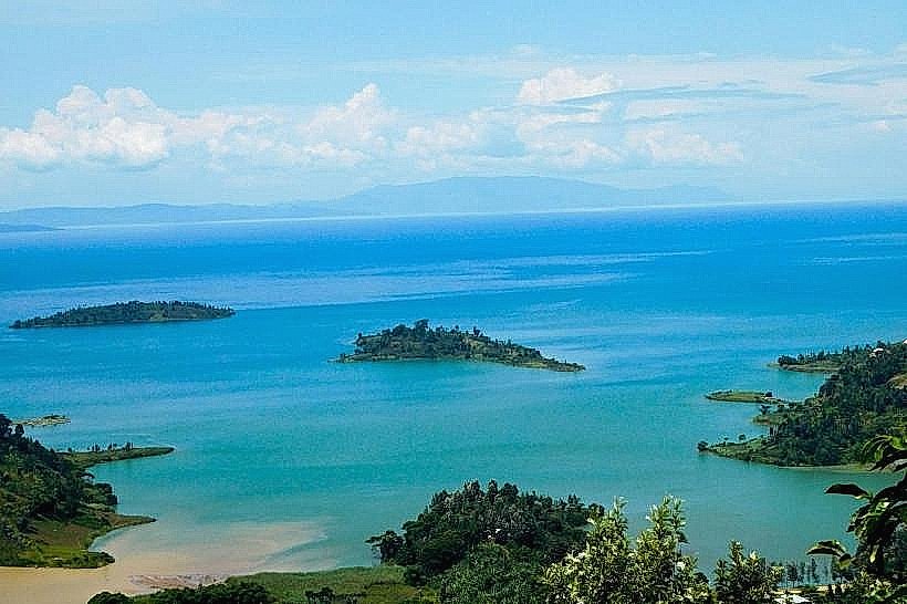
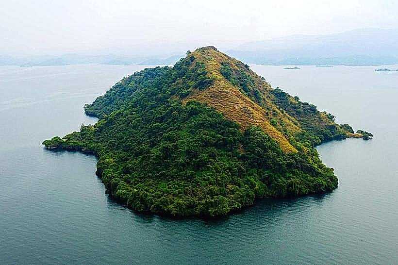
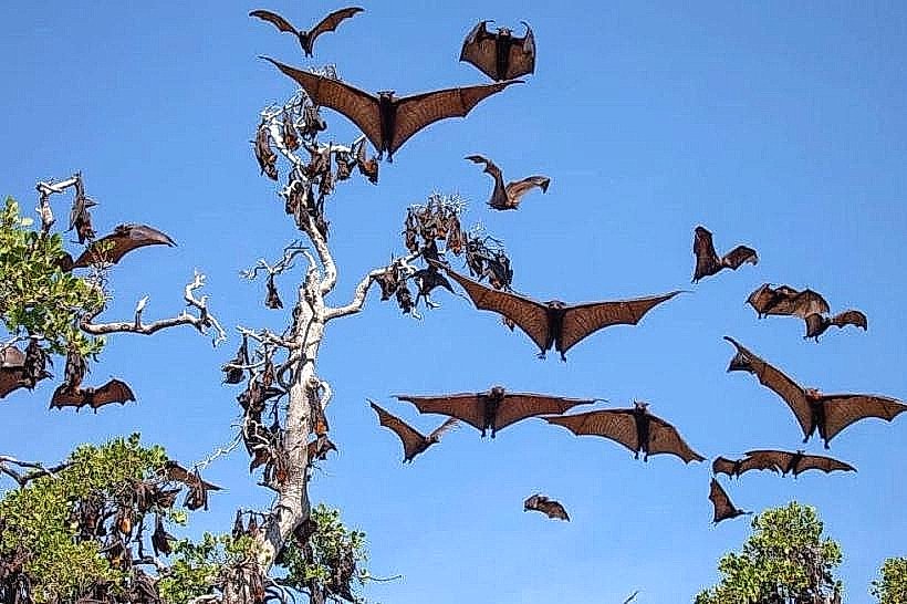
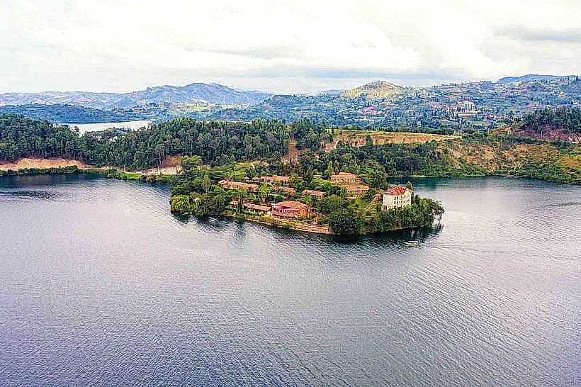
Napoleon Island: A large, uninhabited island shaped like a conqueror's hat, home to a colony of thousands of fruit bats.
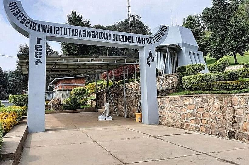
Bisesero Genocide Memorial: Located 30km from the center, known as the "Hill of Resistance" for its unique historical defense during the 1994 conflict.
Amahoro Island: A private island used for camping and localized eco-tourism.
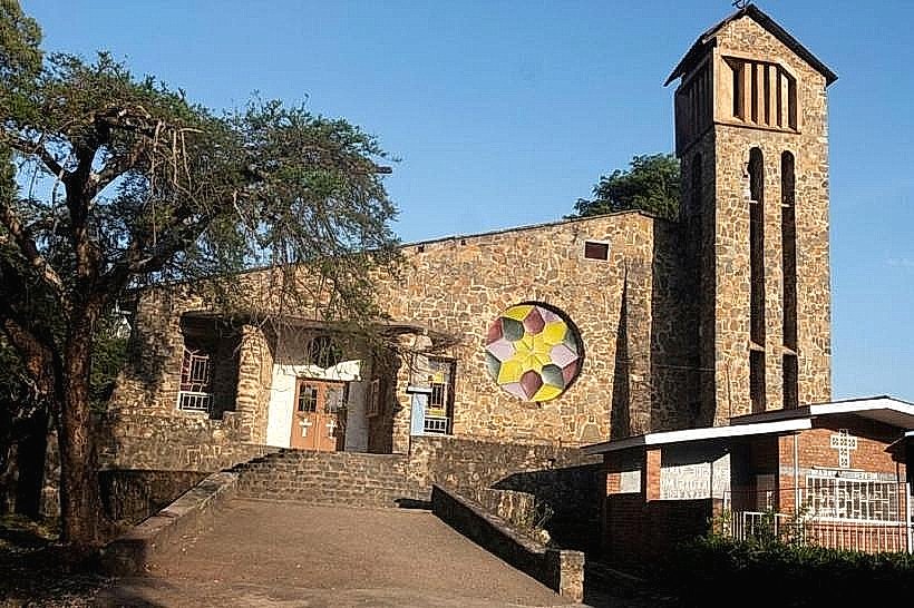
Kibuye Church: A historic red-brick structure overlooking the lake, now serving as a site of memorialization and worship.
Transportation Network
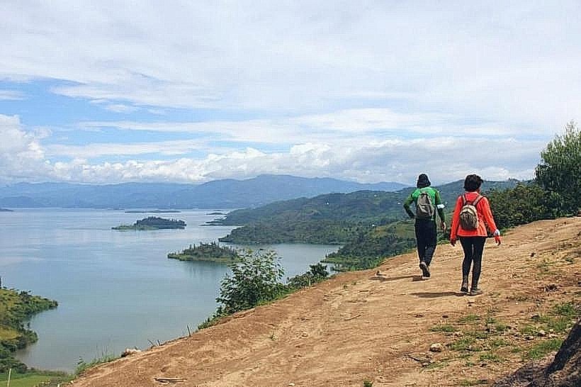
Movement within Karongi is conducted via Moto-taxis (motorcycles), typically identified by their yellow or green vests. The city is the central stop for the Ritco and Alpha Express bus lines traveling between Rubavu and Rusizi. Water transport is a major logistics component, with specialized "slow boats" and speedboats departing from the main pier. Traffic density is very low, though the terrain is exceptionally steep, making walking difficult for logistics.
Safety & "Red Zones"
Karongi is one of the safest urban centers in Rwanda. There are no designated "red zones" or neighborhoods to avoid. Visitors should exercise caution on the lake after dark due to limited lighting and potential for sudden weather changes. Common scams are limited to overpricing boat tours for international visitors at the pier.
Digital & Financial Infrastructure
Average internet speed is 15-25 Mbps, with 4G LTE coverage provided by MTN and Airtel. Card acceptance is moderate in lakeside resorts but non-existent in the town’s markets and smaller guesthouses. Bank of Kigali and BPR Bank maintain the primary ATMs in the administrative district.
Climate & Air Quality
The climate is tropical highland, with temperatures ranging from 16°C to 25°C. The city experiences heavy rainfall during the "long rains" (March–May). Air quality is excellent, characterized by the lack of heavy industry and the presence of lake breezes, though localized dust increases during the dry season (June–August).
Culture & Social Norms
Tipping is not expected in local establishments but 2,000–5,000 RWF is common for boat captains. Greetings are formal, usually involving a handshake. The dress code is conservative; beachwear is strictly confined to hotel pool areas and is not worn in town. Public smoking is rare and generally frowned upon in communal spaces.
Accommodation Zones
Stay in Bwishyura (Lakeshore) for direct water access, evening dining, and proximity to boat docks.
Stay on the Administrative Ridge for budget-friendly guesthouses and proximity to the main bus station.
Local Cost Index
1 Espresso: 2,000 RWF ($1.55 USD)
1 Standard Lunch: 4,000 RWF ($3.10 USD)
1 Moto-taxi (Short trip): 500 RWF ($0.40 USD)
Nearby Day Trips
Congo Nile Trail: Accessible trailheads for hiking south toward Rusizi.
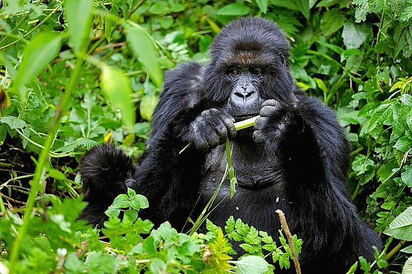
Nyungwe National Park: 65 km (1.5 hours) for canopy walks and primate trekking.
Napoleon Island: 20-minute boat ride for hiking and bat watching.
Bisesero Hills: 30 km (1 hour) for historical and cultural site visits.
Facts & Legends
Local legend tells of a "hidden tunnel" beneath Lake Kivu that supposedly connects Napoleon Island to the mainland, used by ancient inhabitants to escape conflict. Geologically, Karongi is the site of significant methane gas extraction; the "flame" seen on the horizon at night is the KivuWatt barge, which converts lake gas into a significant portion of Rwanda’s national electricity.