City: Mombasa
Country: Kenya
Continent: Africa
Mombasa, Kenya, Africa
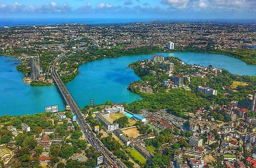
Mombasa is the oldest and second-largest city in Kenya, acting as the primary maritime gateway for East and Central Africa. It is situated on Mombasa Island, separated from the mainland by two creeks (Tudor Creek and Kilindini Harbour) and connected via bridges, a causeway, and ferries.
Historical Timeline
Mombasa was founded by Swahili people in the 12th century and became a prosperous center for the trade of spices, gold, and ivory. The city’s history is defined by a 200-year struggle between the Portuguese, the Sultans of Oman, and local Swahili rulers. The primary event shaping its current urban form was the 1593 construction of Fort Jesus by the Portuguese and the subsequent 1895 British designation of Mombasa as the capital of the East Africa Protectorate (until 1907). Modern development is driven by the 2017 Standard Gauge Railway (SGR) and the massive expansion of the Port of Mombasa.
Demographics & Population
The estimated metropolitan population for 2026 is 1.5 million. The population is a cosmopolitan mix of Swahili, Arab, Indian, and various Kenyan ethnic groups (Mijikenda). It is a predominantly Muslim city with a distinct coastal Swahili culture. The median age is 21.4 years.
Urban Layout & Key Districts
The city is geographically segmented:
Mombasa Island: The historic and commercial core containing the Old Town and CBD.
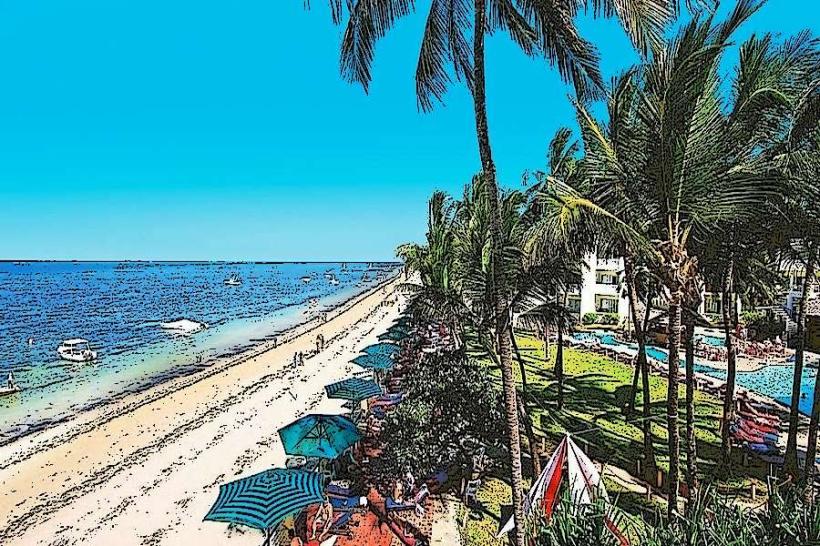
North Coast (Nyali, Bamburi): Affluent residential areas, luxury resorts, and shopping malls.
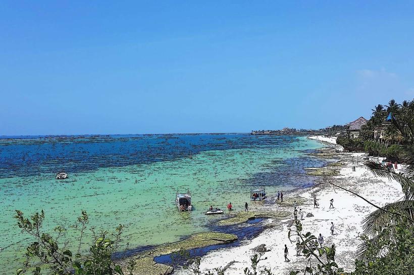
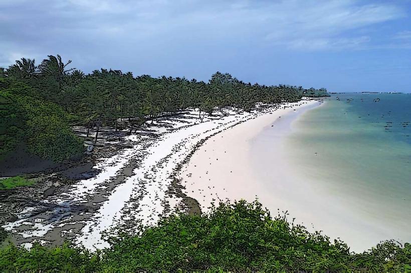
South Coast (Diani, Tiwi): Primarily a tourism hub known for white-sand beaches (accessed via Likoni Ferry).
Westland (Changamwe): Industrial and logistical hub hosting the port and airport.
Top City Landmarks
Fort Jesus: A UNESCO World Heritage site and 16th-century Portuguese military fortification.
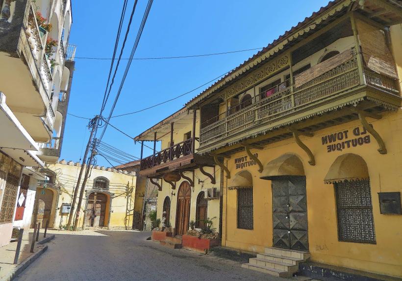
The Old Town: A maze of narrow alleys and carved Swahili doors showing Omani and Indian influence.
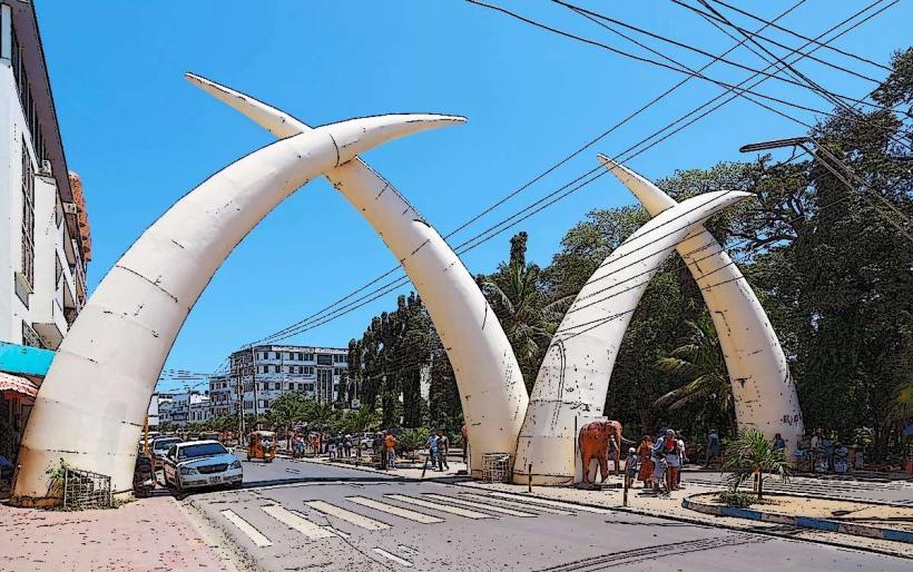
Mombasa Tusks (Pembe za Ndovu): Aluminum tusks built in 1952 to commemorate Queen Elizabeth II's visit.
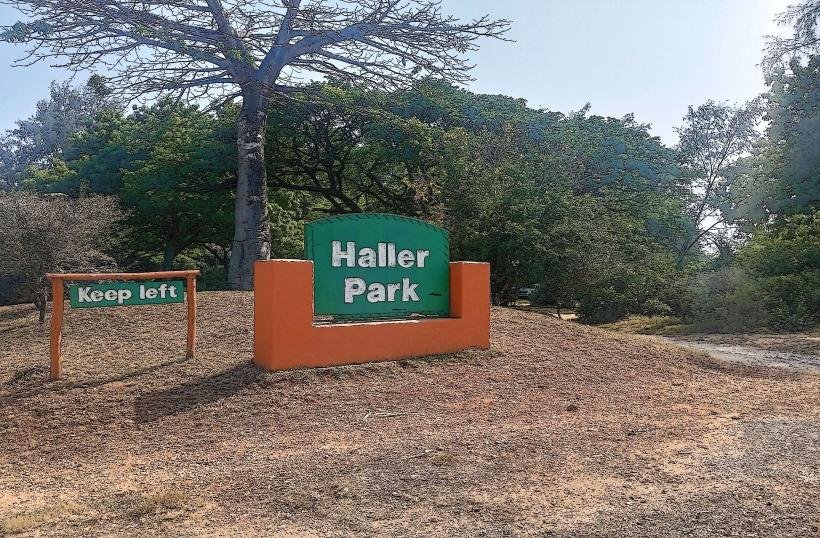
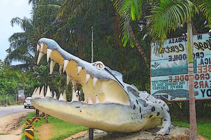
Haller Park: A reclaimed limestone quarry turned into a nature sanctuary and giraffe sanctuary.
Old Port: The traditional harbor still used by dhows trading across the Indian Ocean.
Transportation Network
Intra-city transit relies on Tuk-tuks (three-wheeled motorized taxis) and Matatus. The Likoni Ferry is the critical link between the Island and the South Coast, though the Dongo Kundu bypass has reduced ferry dependence. The Standard Gauge Railway (SGR) connects Mombasa to Nairobi in under 5 hours. Traffic congestion is severe at the Nyali Bridge and Likoni Ferry terminal.
Safety & "Red Zones"
The general safety level is moderate. Petty crime is common in the Likoni area and parts of the Old Town after dark. Specific "red zones" include Kisauni and parts of Nyali’s informal settlements. Terrorist threats remain a consideration due to proximity to the Somali border; high security is standard at malls and public transport hubs. Travelers should avoid walking on deserted beaches at night.
Digital & Financial Infrastructure
Internet speeds average 30–60 Mbps. Main carriers are Safaricom and Airtel. M-Pesa is the dominant payment method for all goods and services. ATMs are concentrated in the CBD and Nyali. Credit cards are accepted in major hotels and malls but rarely in the Old Town or by small vendors.
Climate & Air Quality
Temperatures range from 23°C to 32°C. The climate is tropical and humid year-round. Air quality is generally high due to Indian Ocean breezes, though humidity levels often exceed 80%. Significant weather risks include heavy monsoon rains (April–June) which cause localized flooding.
Culture & Social Norms
Swahili is the primary language, with English used in business. The "Lamu/Coastal" etiquette is more conservative than Nairobi; modest dress is strictly expected when entering the Old Town and religious sites. Handshakes are the standard greeting. Public displays of affection are generally discouraged.
Accommodation Zones
Nyali/Bamburi: Recommended for beach resorts, modern dining, and family safety.
Diani (South Coast): Recommended for world-class beaches and a relaxed holiday atmosphere.
Local Cost Index
1 Espresso: 300 KES ($1.90 USD)
1 Standard Lunch (Biryani/Pilau): 800 KES ($5.20 USD)
1 Tuk-tuk Trip (Short): 150 KES ($1.00 USD)
Nearby Day Trips
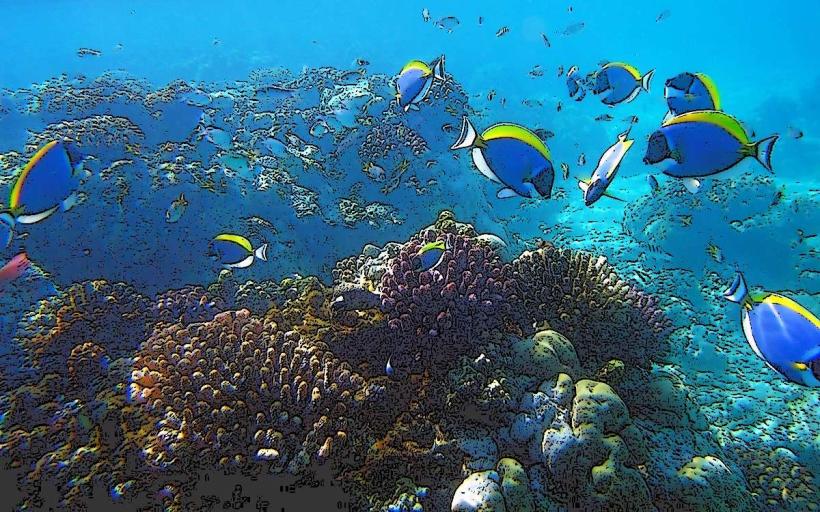
Wasini Island: 100 km (Dolphin spotting and Kisite-Mpunguti Marine Park).
Shimba Hills National Reserve: 35 km (Coastal rainforest and sable antelopes).
Watamu/Malindi: 110 km (Marine parks and Gede Ruins).
Facts & Legends
Mombasa is known as "Kisiwa Cha Mvita" (Island of War) due to its turbulent history of invasions. A local legend claims that the Portuguese ghosts still haunt the ramparts of Fort Jesus at night. A verified historical oddity is that the city’s giant tusks were originally made of canvas and wood before being replaced by permanent aluminum structures to mark the 1952 royal visit.