City: Salelologa
Country: Samoa
Continent: Australia
Salelologa, Samoa, Australia
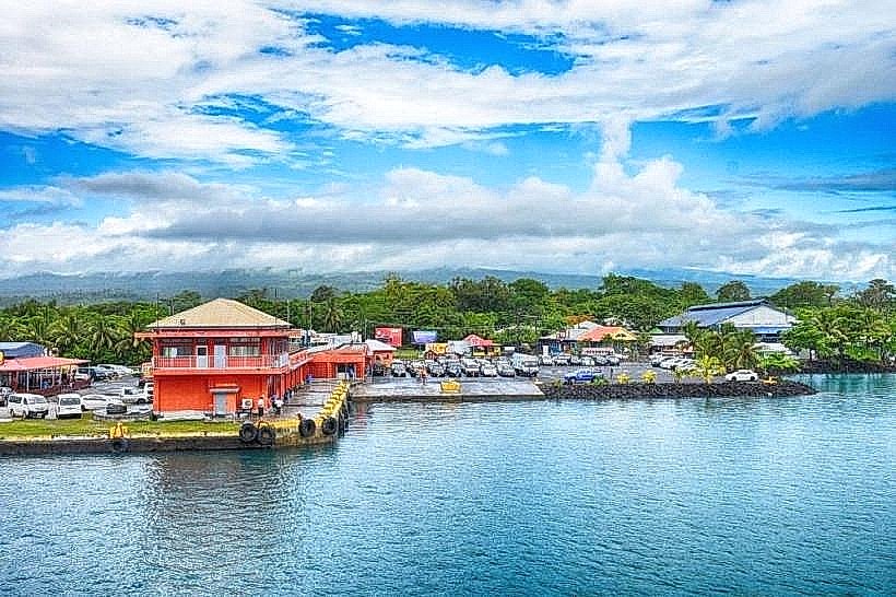
Salelologa is the principal township and commercial gateway of Savai'i, serving as the island's primary economic and logistical hub. It is situated on the southeastern tip of Savai'i, positioned at the critical ferry terminus connecting the island to Upolu across the Apolima Strait.
Historical Timeline
Salelologa transitioned from a collection of traditional village units into a centralized commercial port following the expansion of inter-island ferry services in the mid-20th century. The town was governed under traditional Fa'amatai systems before the formalization of colonial and later independent administrative structures. The most significant architectural reconstruction occurred following the 1990 and 1991 cyclones (Ofa and Val), which led to the modernization of the main market and wharf facilities. The primary event shaping its current urban form was the 2011 relocation of the main market to its current centralized location to facilitate trade.
Demographics & Population
The township has a population of approximately 4,000 residents, though it serves as the commercial center for the entire Savai'i population of roughly 45,000. The demographics are 98% ethnic Samoan, with small populations of Chinese and European expatriates involved in trade and development. The median age is approximately 22 years.
Urban Layout & Key Districts
Salelologa is organized around the intersection of the Main South Coast Road and the Main North Coast Road. The Wharf District (East) is the logistical core, while the Market District (Center) serves as the economic heart. The residential village areas extend inland and southward along the coast.
Top City Landmarks
Salelologa Wharf
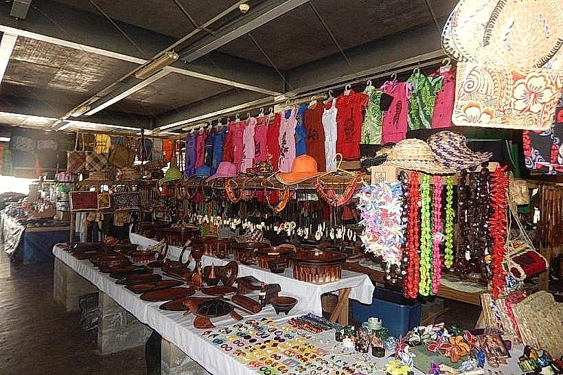
Salelologa Market (Savuwa Market)
The Don Bosco Technical Centre
Salelologa Catholic Church
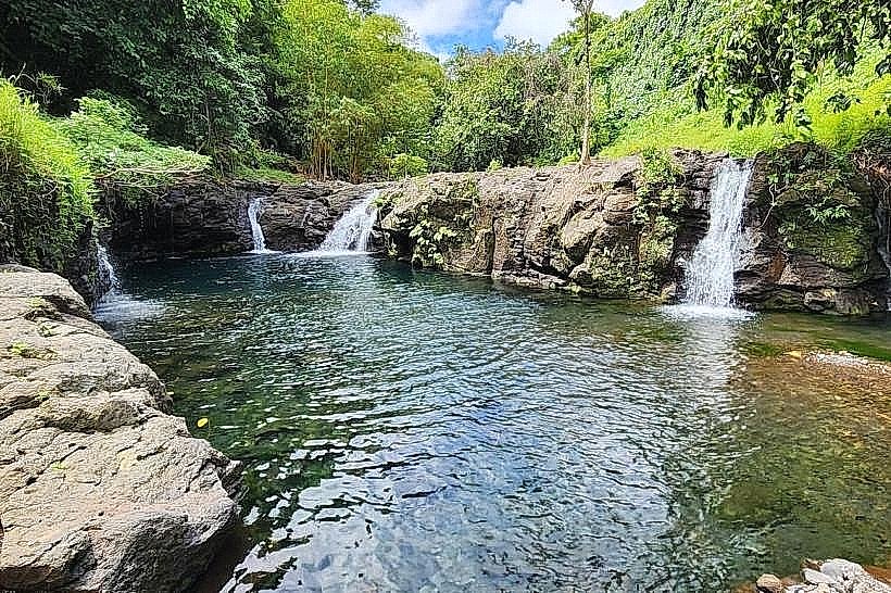
Afu Aau Falls (located on the nearby outskirts)
Transportation Network
Movement within Salelologa is managed via private vehicles, taxis, and the central bus depot located at the market. There is no rail or tram system. Taxis are plentiful and typically white; they congregate at the wharf and market. Inter-island transport is provided by the Samoa Shipping Corporation ferries. Traffic density is moderate to high specifically during ferry arrival and departure times.
Safety & "Red Zones"
Salelologa is generally safe. There are no designated "red zones." Caution is advised at the wharf and market areas to avoid opportunistic theft in crowded spaces. Like all Samoan villages, visitors must respect the "Sa" (evening prayer) by staying off the roads when the village bells ring at dusk.
Digital & Financial Infrastructure
Average internet speed is 20-30 Mbps via 4G/LTE. Main carriers are Vodafone Samoa and Digicel. Card acceptance is moderate in larger supermarkets and hardware stores but low at the market. Salelologa is the financial hub of Savai'i, housing the island's primary branches for ANZ, BSP, and SCB, all of which provide 24/7 ATM access.
Climate & Air Quality
Temperatures range from 24°C to 31°C. Air quality is high due to consistent sea breezes. The area is subject to high humidity and heavy rainfall during the wet season (November–April). The township is a primary staging area for disaster relief during the South Pacific cyclone season.
Culture & Social Norms
Tipping is not expected. Handshakes are the standard greeting. Conservative dress is required in town; men and women should keep shoulders and knees covered when away from beach resorts. Public intoxication is culturally frowned upon and strictly regulated by village councils.
Accommodation Zones
Wharf Perimeter: Recommended for logistics and early morning ferry departures.
Lano/Coastal North: Recommended for quiet stays and beach access within 15 minutes of the town center.
Local Cost Index
Espresso: 8.50 WST ($3.15)
Standard Lunch: 20.00 WST ($7.40)
Ferry Ticket (to Mulifanua): 12.00 WST ($4.45)
Nearby Day Trips
Afu Aau Waterfalls: 20 km (25-minute drive).
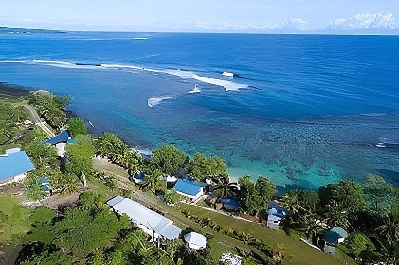
Lano Beach: 15 km (20-minute drive).
Savai'i North Coast: 40 km (50-minute drive).
Apolima Strait Boat Tour: Accessible via the wharf.
Facts & Legends
Local lore suggests the name Salelologa relates to the "gathering of the people," referring to its historical role as a meeting point for chiefs across the island. A verified historical oddity is that despite being the largest town on Savai'i, it lacks a formal municipal government, instead being governed by the Pulenu'u (village mayors) of the constituent sub-villages in coordination with the national government.