City: South Kingstown
Country: USA Rhode Island
Continent: North America
South Kingstown, USA Rhode Island, North America
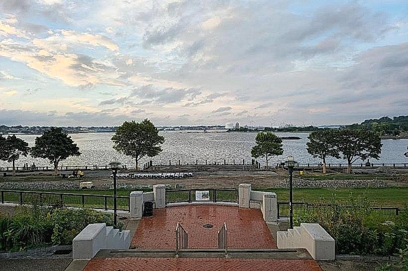
South Kingstown serves as a major agricultural, educational, and residential hub for Washington County and is the largest municipality by land area in Rhode Island. It is located in the southern part of the state, bordered by the Atlantic Ocean to the south and the Pettaquamscutt River to the east.
Historical Timeline
South Kingstown was incorporated in 1722 when the "Kings Towne" settlement was divided. Primary governance eras include the colonial plantation period, the transition to a textile-based industrial economy in the 19th century, and the post-war expansion of the University of Rhode Island. The town's current urban form was largely influenced by the 1888 separation of its coastal district into the town of Narragansett. The founding of the Rhode Island College of Agriculture and Mechanic Arts in 1892 (now URI) remains the primary event shaping the town's demographic and economic structure.
Demographics & Population
The population is approximately 31,000 within town limits. The top three ethnic demographics are White (86%), Hispanic or Latino (5%), and Asian (3%). The median age is 34 years, heavily influenced by the large resident student population at the university.
Urban Layout & Key Districts
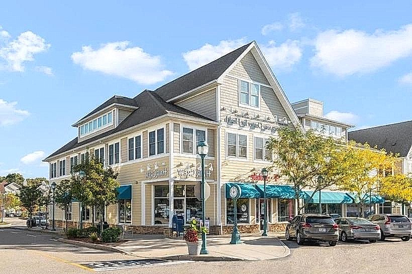
The town is organized into several distinct villages. Key districts include Wakefield (the commercial and administrative center), Peace Dale (a historic mill village) immediately to the north, and Kingston (the historic hilltop village and home to the university) to the northwest. Matunuck serves as the primary coastal residential and surfing district to the south.
Top City Landmarks
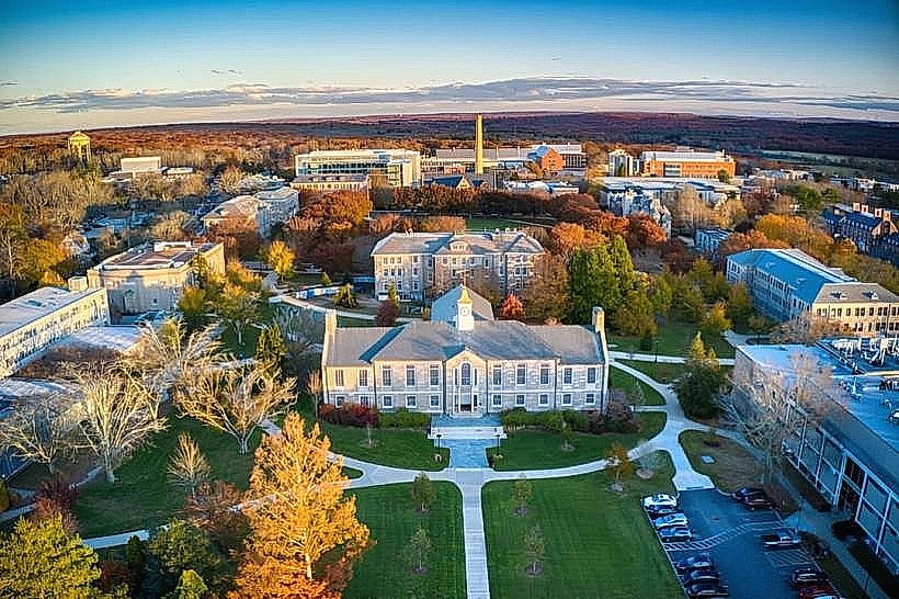
University of Rhode Island (Kingston Campus)
The Peace Dale Museum of Art and Culture
Kingston Railroad Station (Historic 1875 Depot)
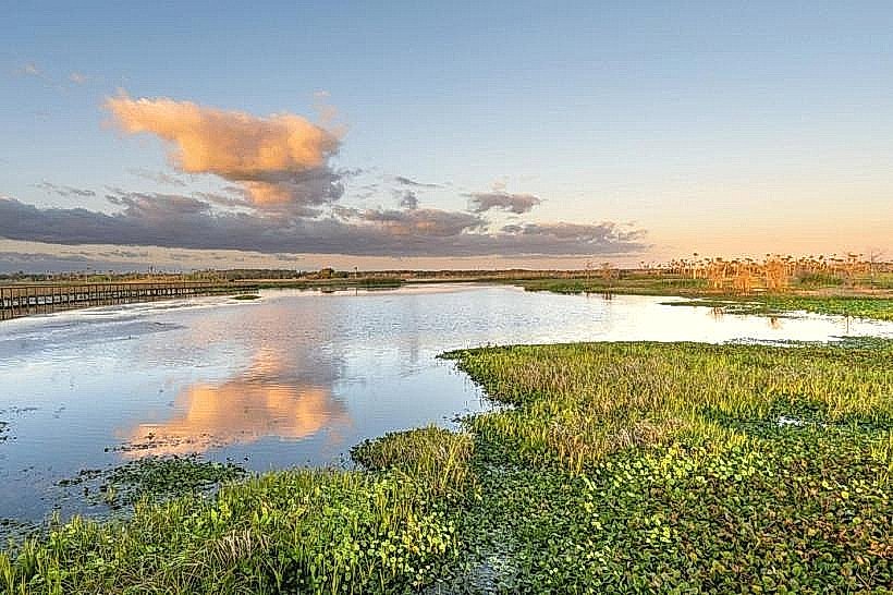
Trustom Pond National Wildlife Refuge
Transportation Network
Internal movement is dependent on personal vehicles and the RIPTA bus system, which provides high-frequency service between Kingston and Providence. The Kingston Station serves as a major stop for Amtrak’s Northeast Regional and Acela lines. Uber and Lyft have high availability near the university. Taxis are dispatched from local South County companies. Traffic density is high during university semester starts and summer weekends along Route 1 and Route 110.
Safety & "Red Zones"
South Kingstown is consistently ranked among the safest communities in the state. There are no designated "red zones." The most common safety issues involve property theft in high-density student housing areas and traffic accidents on the high-speed Route 1 corridor.
Digital & Financial Infrastructure
Average internet speed is 400–900 Mbps via Cox or Verizon. Main mobile carriers are Verizon, AT&T, and T-Mobile. Card acceptance is universal in the Wakefield and Kingston districts. ATMs are prevalent on the URI campus and Main Street in Wakefield.
Climate & Air Quality
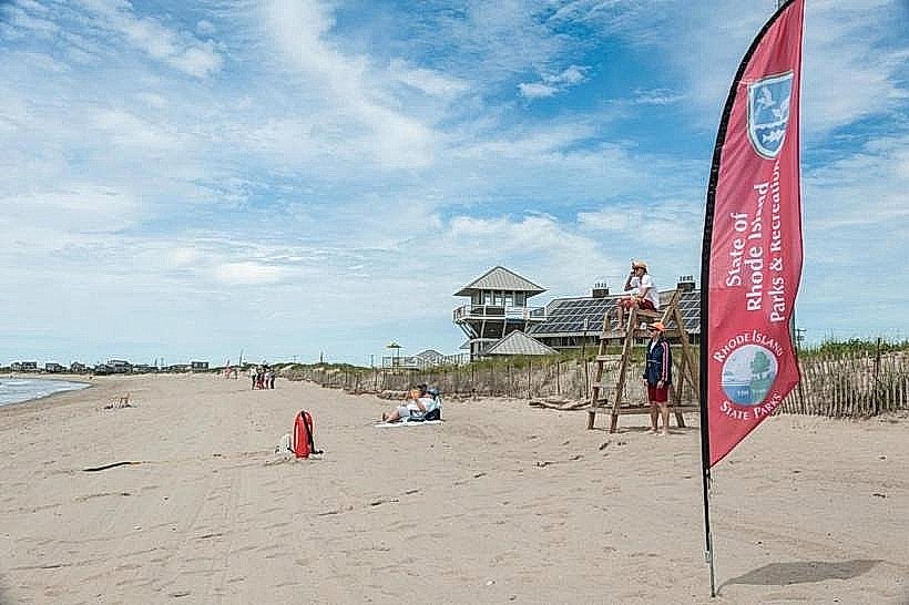
Winter temperatures range from -5°C to 4°C; summer ranges from 18°C to 27°C. Air quality is high due to the lack of heavy industry and proximity to the coast. Weather risks include significant inland snow accumulation and coastal flooding in the Matunuck and Snug Harbor areas during hurricanes.
Culture & Social Norms
Tipping of 20% is standard. The culture is a hybrid of academic, agricultural, and coastal lifestyles. Dress is casual. Strict noise ordinances are enforced in neighborhoods surrounding the university to manage student activity. Public alcohol consumption is prohibited.
Accommodation Zones
Stay in Wakefield for walking access to local boutiques, restaurants, and the Saugatucket River walkway.
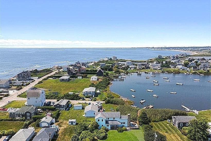
Stay in Matunuck for a coastal experience and proximity to local beaches and the seasonal theater.
Local Cost Index
1 Espresso: $3.75 (3.45€)
1 Standard Lunch: $17.00 (15.65€)
1 Bus Ticket: $2.00 (1.85€)
Nearby Day Trips
Newport, RI: 30 km (35 minutes)
Providence, RI: 48 km (45 minutes)
Mystic, CT: 45 km (40 minutes)
Block Island: Accessible via the ferry in neighboring Narragansett (15 minutes to ferry).
Facts & Legends
South Kingstown is the site of the Great Swamp Fight of 1675, a pivotal and tragic event of King Philip's War; a granite monument marks the site in a remote area of the town. A local historical oddity is the "Hannah Robinson Rock," named for a 18th-century heiress who supposedly sat upon the overlook to mourn her lost love and family fortune; the site remains a popular lookout point today.