Landmark: East Matunuck State Beach
City: South Kingstown
Country: USA Rhode Island
Continent: North America
East Matunuck State Beach, South Kingstown, USA Rhode Island, North America
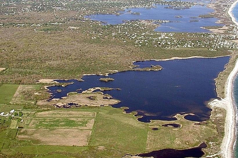
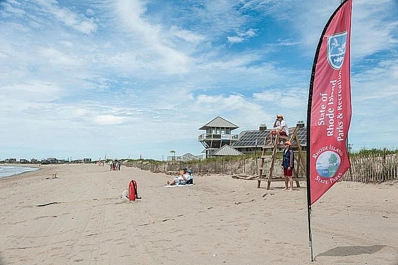
East Matunuck State Beach is a public access coastal area located in South Kingstown, Rhode Island. It provides access to the Atlantic Ocean shoreline.
Visual Characteristics
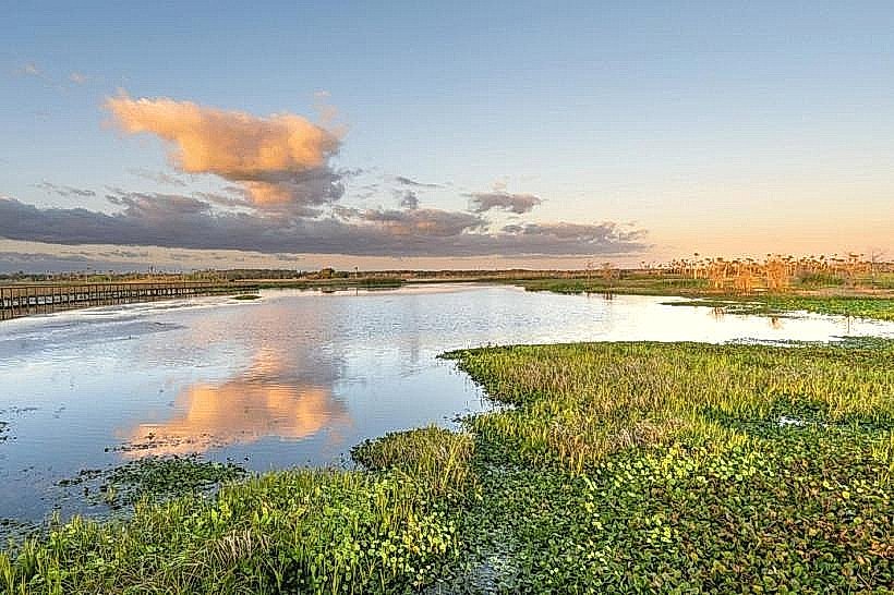
The beach features a sandy shoreline approximately 1.5 kilometers in length. The sand composition is primarily fine-grained quartz. Ocean water color varies from deep blue to greenish depending on atmospheric conditions and depth. Dune vegetation, consisting of beach grass and low-lying shrubs, borders the western edge of the sandy area.
Location & Access Logistics
East Matunuck State Beach is situated 8 kilometers south of the South Kingstown town center. Access is via Succotash Road, which connects to Route 1. Parking is available in a designated lot with a capacity for approximately 500 vehicles; fees are typically charged during the peak season (Memorial Day to Labor Day). Public transportation options are limited; the closest bus route (RIPTA Route 60) stops approximately 3 kilometers north of the beach, requiring a walk or taxi service.
Historical & Ecological Origin
The area is a natural barrier beach formed by longshore drift and storm deposition over millennia. It functions as a dynamic coastal system, subject to erosion and accretion. Historically, the land was utilized by indigenous peoples for fishing and foraging before European settlement.
Key Highlights & Activities
Swimming is permitted in designated areas when lifeguards are on duty. Surfing is possible, particularly during periods of higher wave activity. Fishing is allowed from the shoreline outside of designated swimming zones. Beachcombing for shells and sea glass is a common activity.
Infrastructure & Amenities
Restrooms and changing facilities are available on-site. Picnic tables are provided in shaded areas. There are no on-site food vendors, but concessions are typically available in the adjacent parking lot during the summer months. Cell phone signal (4G) is generally reliable within the main beach area.
Best Time to Visit
For photography, early morning (sunrise) and late afternoon (pre-sunset) offer optimal lighting conditions. The best months for weather are July and August, with average daily temperatures ranging from 21-27 degrees Celsius. High tide can reduce the available sandy area; low tide is generally preferred for beachcombing.
Facts & Legends
During severe storms, the beach can experience significant overwash, temporarily altering its topography. Local folklore sometimes refers to unusual shell formations found after major storms as "mermaid tears."
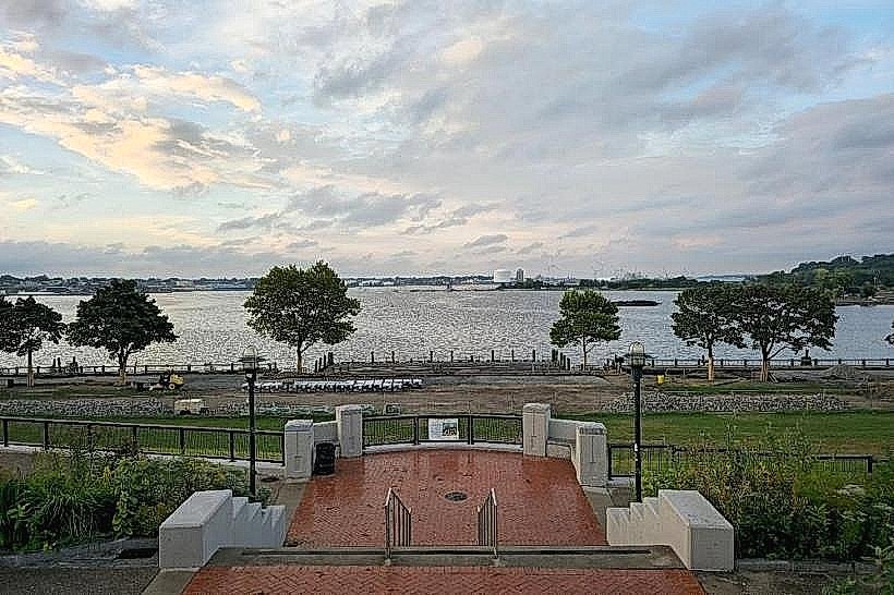
Nearby Landmarks
- South Kingstown Recreation Center 2.5km Northwest
- Ocean Mist Bar & Grill 0.8km West
- Block Island Ferry Terminal (Galilee) 3.0km Southwest
- Point Judith Lighthouse 4.5km Southwest
- Scarborough State Beach 3.5km West