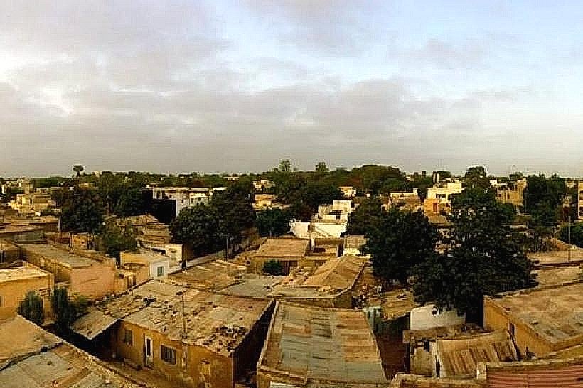
City: Thies
Country: Senegal
Continent: Africa
Thies, Senegal, Africa
Thiès serves as a primary industrial hub and transport junction in western Senegal, connecting the capital to the interior of the country. It is situated on a strategic plateau approximately 70 km east of Dakar, functioning as the capital of the Thiès Region.
Historical Timeline
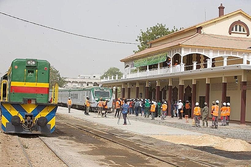
Founded in the 17th century as a small village named Dianxene within the Kingdom of Cayor, the city was formally established as a colonial commune in 1904. The primary eras of governance include the pre-colonial Serer and Wolof kingdoms, the French colonial administration, and post-independence Senegal. The most significant architectural and infrastructure development occurred in the 1920s with the expansion of the Dakar-Niger railway. The primary event that shaped the current urban form was the 1947–1948 railway workers' strike, which cemented the city's identity as a labor hub and led to organized residential planning for industrial workers.
Demographics & Population
The total population within the city limits is estimated at 454,659 (2026), with a metropolitan population exceeding 800,000. The top three ethnic demographics are the Wolof, Serer-Noon, and Pulaar. The median age of the population is approximately 18.2 years.
Urban Layout & Key Districts
The city is organized around a central railway axis and a radial road network. Escale (Central) serves as the historic administrative and commercial core; Thiès-Nones (Southwest) is the traditional neighborhood of the Serer-Noon people; and Randoulène (North) is a major residential and artisanal district.
Top City Landmarks
Manufacture Sénégalaise des Arts Décoratifs (Tapestry Factory)
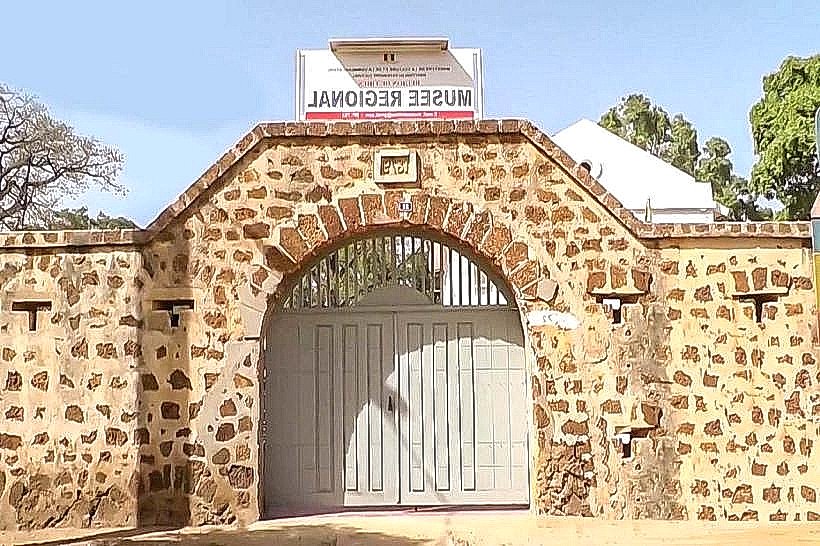
Regional Museum of Thiès (Fort Dixième)
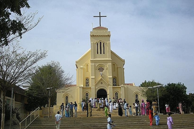
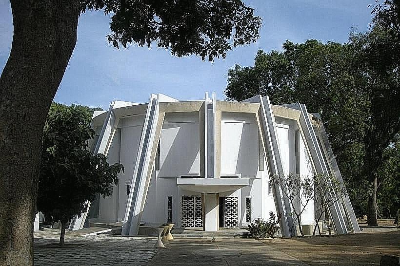
Cathedral of Saint Anne
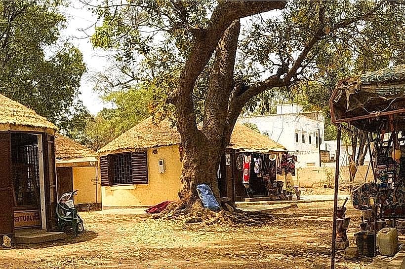
Village Artisanal (Craft Village)
Transportation Network
Movement within the city is dominated by "Jakarta" moto-taxis and yellow-and-black unmetered taxis. While there are no metro or tram lines, the city is a terminal for the Dakar-Niger railway and a major node for the Bus Rapid Transit (BRT) and long-distance "sept-places" (seven-seat bush taxis). Ride-sharing is restricted to local unregulated arrangements or occasional Yango availability. Traffic density is high at the "Croisement de Thiès" junction.
Safety & "Red Zones"
The general safety level is high compared to Dakar. Avoid unlit peripheral areas like the outskirts of the Fandène road at night. Common scams include "intermediaries" at the bus stations who attempt to overcharge for luggage or ticket assistance.
Digital & Financial Infrastructure
Average fixed broadband speed is 30 Mbps. Main mobile carriers are Orange, Free, and Expresso. Card acceptance is low, primarily found in major supermarkets like Auchan and the larger hotels. ATMs are concentrated around the Place de France and the Escale district.
Climate & Air Quality
Seasonal temperatures range from 17°C to 34°C. The hot season peaks from October to November, while the cool, dry season occurs from December to February. Weather risks include seasonal flooding during the monsoon (July to September). Air quality is frequently affected by Harmattan dust and localized industrial emissions from the nearby cement and phosphate mines.
Culture & Social Norms
Tipping is not mandatory but 500–1,000 XOF is common for service. Handshakes are the standard greeting. Social norms are conservative; modest dress is expected in residential quarters. Public smoking is generally discouraged near religious sites or schools.
Accommodation Zones
Escale / Center: Stay here for walking access to the main administrative offices, banks, and the tapestry factory.
Quartier Dixième: Stay here for a quieter residential environment with proximity to the Regional Museum and better security.
Local Cost Index
1 Espresso: 1,200 XOF (2.00 USD)
1 Standard Lunch: 2,500 XOF (4.15 USD)
1 Metro/Bus Ticket: 200 XOF (0.35 USD) for a local minibus (Car Rapide).
Nearby Day Trips
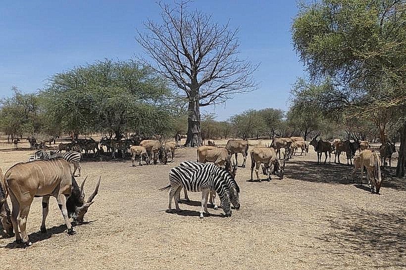
Bandia Wildlife Reserve: 35 km (45 mins)
Keur Moussa Monastery: 15 km (20 mins)
Somone Lagoon: 50 km (1 hour)
Lake Retba (Pink Lake): 45 km (1 hour)
Facts & Legends
Thiès is known as the "City of Two Rails" due to its origin at the junction of the Saint-Louis and Bamako lines. A local urban legend concerns the "Jinns of the Rails," spirits said to protect the railway workers; many older residents still believe that the success of the 1947 strike was aided by these supernatural protectors who stalled the French colonial trains during the protests.