City: Voi
Country: Kenya
Continent: Africa
Voi, Kenya, Africa
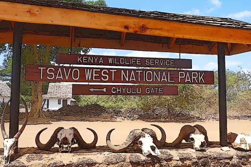
Voi is the largest town in Taita-Taveta County and a critical logistics and tourism hub, situated at an elevation of 580 meters. It serves as the primary gateway to Tsavo East and Tsavo West National Parks, located midway between Nairobi and Mombasa.
Historical Timeline
Voi was established in 1897 as a base camp for the Kenya-Uganda Railway. It gained township status in 1932. The primary event shaping its current urban form was the 2017 completion of the Standard Gauge Railway (SGR), which introduced a second major railway station and transformed Voi into a vital regional passenger and freight interchange. During World War I, Voi was a strategic British logistical center for the East African campaign against German forces.
Demographics & Population
The estimated metropolitan population for 2026 is 130,000. The demographics are predominantly Taita (the indigenous Sagalla community), with significant populations of Kamba, Luo, and Asian traders. The city has a high proportion of youth (ages 18–35) and a median age of approximately 21.0 years.
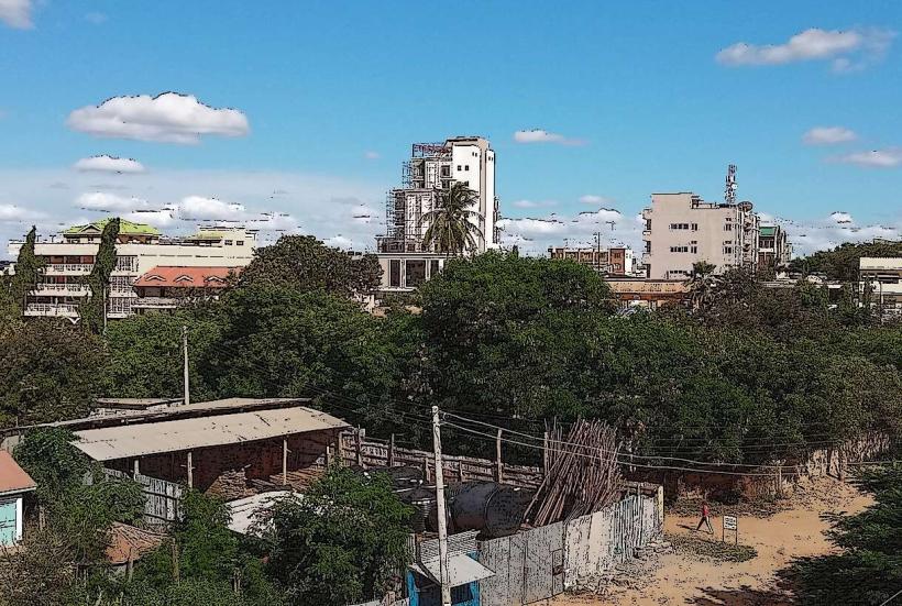
Urban Layout & Key Districts
The town is divided by the Nairobi-Mombasa highway and the railway lines.
The CBD: Characterized by general stores, markets, and transit hotels.
Mwakingali & Kaloleni: Primary middle-income residential estates.
Ikanga & Sofia: High-density residential zones near the industrial periphery.
Mabomani: An area seeing rapid growth in modern concrete housing and administrative expansion.
Voi Junction: The critical commercial node where the highway meets the road to Taveta and Tanzania.
Top City Landmarks
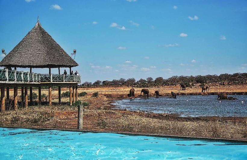
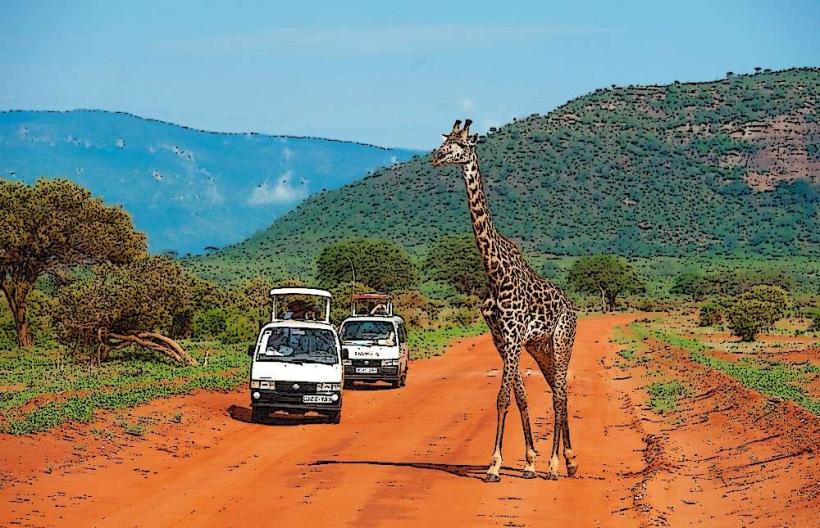
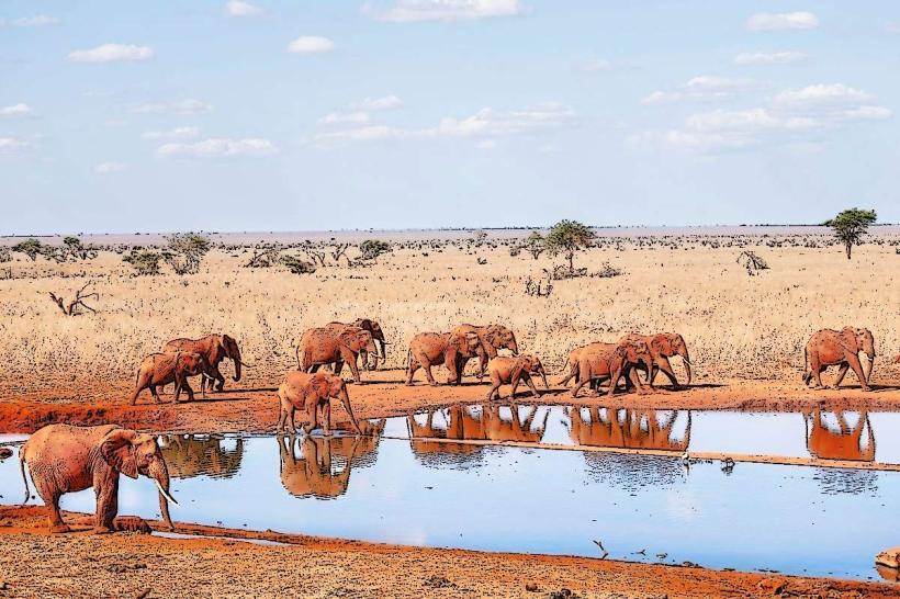
Tsavo East National Park Entrance: Located just outside the town, famous for "red" elephants and the Yatta Plateau.
Voi Commonwealth War Cemetery: A meticulously maintained heritage site from WWI.
Voi SGR Station: A prominent piece of modern glass-and-steel architecture.
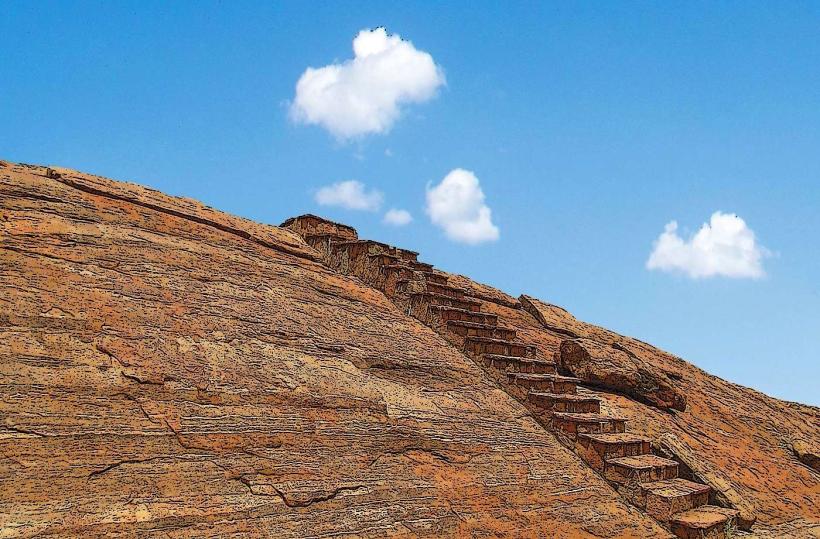
Sagala Hills: A backdrop of ancient granitic mountains offering hiking and views.
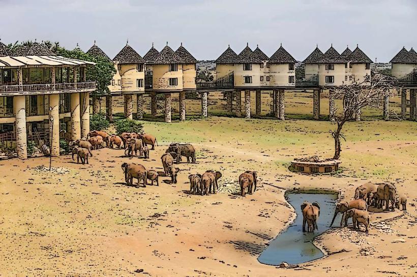
Ngutuni Wildlife Conservancy: A private reserve bordering the national park, known for a high density of lions.
Transportation Network
Intra-city transit is managed by Matatus, Taxis, and Boda Bodas. Voi is one of the few Kenyan towns with two railway stations: the historic Meter Gauge Railway (MGR) for freight and the modern Standard Gauge Railway (SGR) for daily passenger service to Nairobi and Mombasa. It is a major stop for long-distance buses and a junction for transit to the Taveta/Holili border with Tanzania.
Safety & "Red Zones"
The general safety level is high. Petty theft is common in the central market and around the main highway bus stops. There are no specific "red zones," though travelers should avoid walking alone at night in the Mwakingali outskirts. Road safety is a priority; the highway stretch through Voi is a major transit route for heavy-duty trucks. Wildlife-particularly baboons and elephants-is frequently sighted near the park perimeters.
Digital & Financial Infrastructure
Internet speeds average 25–40 Mbps. Main carriers are Safaricom and Airtel. M-Pesa is the primary medium for all local commerce. ATMs are concentrated in the CBD and near the Voi Mall. Credit card acceptance is common in high-end safari lodges but rare in the town center.
Climate & Air Quality
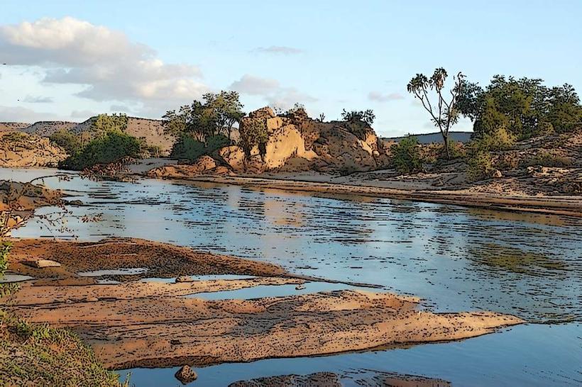
Temperatures range from 19°C to 35°C. The climate is hot and semi-arid. Air quality is generally high, though dust levels are extreme during the dry seasons (June–October). Significant weather risks include flash flooding of the Voi River during the short rains (November–December).
Culture & Social Norms
English and Swahili are used for business; Kitaita is the primary local language. Voi has a "market town" culture, heavily influenced by its history as a trade outpost. Shaking hands is the standard greeting. Dress codes are casual and lightweight due to the heat. Tipping is standard at 5–10% in tourist-centric establishments.
Accommodation Zones
Mombasa Road / CBD: Recommended for budget travelers and short-term transit.
Park Perimeters: Recommended for luxury wildlife lodges and tented camps.
Local Cost Index
1 Espresso: 220 KES ($1.45 USD)
1 Standard Lunch (Nyama Choma/Ugali): 600 KES ($3.90 USD)
1 Short Boda Boda Trip: 100 KES ($0.65 USD)
Nearby Day Trips
Taita Hills: 25 km (High-altitude forests, cloud-shrouded peaks, and the Taita Hills Resort).
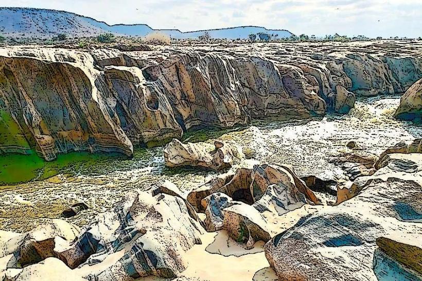
Wundanyi: 30 km (The "Switzerland of Kenya," known for its dramatic rock formations).
Lake Jipe: 90 km (A serene freshwater lake on the Tanzania border).
Facts & Legends
Voi is often called the "Gateway to the Wild." A local legend suggests that the Taita Hills were created by an ancient giant who dropped stones while fleeing toward the coast. A verified historical oddity is that the "Man-Eaters of Tsavo"-lions that halted railway construction in 1898-terrorized labor camps located specifically in the Voi-Tsavo corridor, an event that remains a core part of the town's folklore and tourism identity.