Landmark: Angostura Recreation Area
City: Hot Springs SD
Country: USA South Dakota
Continent: North America
Angostura Recreation Area, Hot Springs SD, USA South Dakota, North America
Angostura Recreation Area is a state park located in Fall River County, South Dakota, approximately 10 miles southwest of Hot Springs.
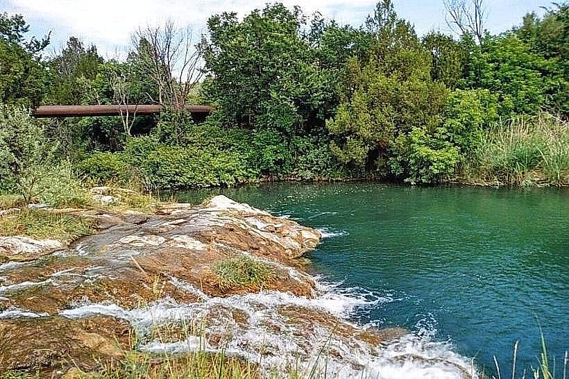
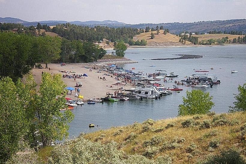
The area features Angostura Reservoir, a man-made body of water, surrounded by rolling hills and prairie land.
Visual Characteristics
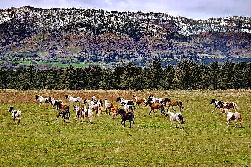
The reservoir's water color varies from blue to green depending on water clarity and depth. The shoreline consists of a mix of sandy beaches and rocky outcrops. The surrounding terrain is characterized by mixed-grass prairie with scattered ponderosa pine and juniper trees. The elevation ranges from approximately 3,500 to 3,700 feet above sea level.
Location & Access Logistics
Angostura Recreation Area is accessible via State Highway 477, which connects to U.S. Highway 18. The entrance is approximately 10 miles southwest of Hot Springs, South Dakota. Ample parking is available at designated lots throughout the park, including near the boat ramp and beach areas. No public transport services operate directly to the recreation area.
Historical & Ecological Origin
Angostura Dam was constructed by the U.S. Bureau of Reclamation between 1949 and 1950 as part of the Angostura Unit of the Pick-Sloan Missouri Basin Program. Its primary purpose was irrigation and flood control for the Angostura Irrigation District. The reservoir was created by impounding the Cheyenne River. The surrounding land is part of the Great Plains physiographic province.
Key Highlights & Activities
Activities include boating, swimming, fishing for species such as walleye, northern pike, and crappie, and camping. Designated swimming beaches are available. Hiking trails traverse the park perimeter and surrounding hills. Boat launch facilities are operational during the park's open season.
Infrastructure & Amenities
Restrooms are available at various locations, including campgrounds and day-use areas. Shaded picnic areas are provided. Cell phone signal (4G/5G) is intermittent within the park, with stronger reception near the park entrance and along Highway 477. No food vendors are permanently located within the recreation area, but concessions may operate seasonally.
Best Time to Visit
The best months for water-based activities are June through August, when water temperatures are warmest. For hiking and wildlife viewing, April through May and September through October offer cooler temperatures and fewer crowds. Mid-morning to late afternoon provides optimal lighting for photography of the reservoir and landscape.
Facts & Legends
The name "Angostura" is Spanish for "narrow passage," referring to the narrow canyon where the dam was built. Local lore suggests that during periods of extreme drought, the reservoir's receding waters have revealed remnants of old homesteads, sparking tales of lost settlements.
Nearby Landmarks
- Mammoth Site (3.5km Northeast)
- Evan's Plunge (4.0km Northeast)
- Cascade Falls (4.8km Northeast)
- Hot Springs Historic Downtown (5.0km Northeast)