Information
Landmark: Archipelago Islands of GothenburgCity: Gothenburg
Country: Sweden
Continent: Europe
Archipelago Islands of Gothenburg, Gothenburg, Sweden, Europe
Visual Characteristics
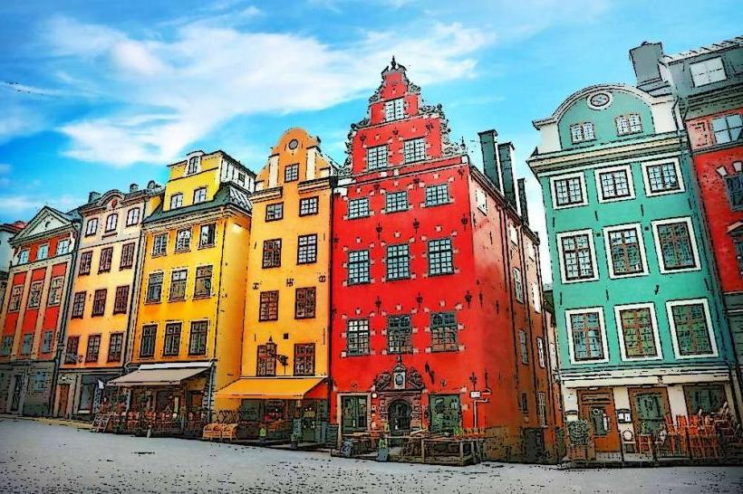
The islands are characterized by their exposed granite bedrock, smoothed by glacial erosion, with sparse vegetation consisting primarily of heather, grasses, and resilient trees like pine and birch. Many islands feature traditional red and white wooden houses, often former fishing cottages. The surrounding waters are typically clear, reflecting the sky. Heights vary, with some islands presenting low, flat profiles and others featuring more elevated, rocky outcrops.
Location & Access Logistics
Access to the southern archipelago is primarily via public ferries departing from Saltholmen, located approximately 15 kilometers west of Gothenburg city center. To reach Saltholmen, visitors can take tram line 11 from central Gothenburg. Parking is available at Saltholmen ferry terminal, though it can be limited during peak season. Ferries serve various islands, including Styrsö, Vrångö, and Brännö, with journey times ranging from 10 to 90 minutes depending on the destination island.
Historical & Ecological Origin
The archipelago's geological formation is a direct result of the last ice age, where retreating glaciers scoured and shaped the ancient granite bedrock, leaving behind the characteristic rounded islands and skerries. Ecologically, it is classified as a coastal archipelago ecosystem. Historically, these islands have served as strategic points for fishing communities, pilot stations guiding ships into Gothenburg harbor, and defensive outposts protecting the city's maritime approaches, with evidence of human settlement dating back centuries.
Key Highlights & Activities
Visitors can engage in island hopping between the various islands using the public ferry system. Specific activities include swimming from designated bathing spots, kayaking along the coastlines, cycling on islands with paved paths such as Styrsö, and hiking marked trails on islands like Vrångö. Fishing is permitted in many areas, and exploring the small harbor villages offers insight into local life.
Infrastructure & Amenities
Restroom facilities are available on the larger, inhabited islands, often near ferry terminals or in villages. Shade is limited, primarily found under trees or within village areas. Cell phone signal (4G/5G) is generally reliable across most of the inhabited islands and surrounding waters. Food vendors, including restaurants, cafes, and small grocery stores, are present on the more populated islands.
Best Time to Visit
The optimal period for visiting the Archipelago Islands is from June to August, when the weather is warmest, and all services, including ferry schedules and island amenities, are fully operational. For photography, late afternoon and early evening offer softer light and sunsets over the western horizon. Tidal variations are minor and do not significantly impact access or activities.
Facts & Legends
Many of the southern archipelago islands are entirely car-free, requiring visitors to navigate by foot, bicycle, or local electric vehicles, contributing to their tranquil atmosphere. A local legend recounts that the distinctive red color of many island houses originated from the use of Falu Red paint, a byproduct of copper mining, which was both affordable and protective against the harsh maritime climate.
Nearby Landmarks
- Långedrag: 1 km North-East
- Nya Varvet: 3.5 km East
- Röda Sten Konsthall: 5 km East
- Älvsborg Fortress: 4 km North-East