Information
Landmark: Baliem ValleyCity: Provice Area
Country: Papua New Guinea
Continent: Australia
Baliem Valley, Provice Area, Papua New Guinea, Australia
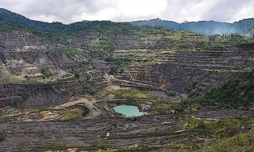
The Baliem Valley is a geographical depression located in the central highlands of Papua, Indonesia. It is a significant cultural and ecological region.
Visual Characteristics
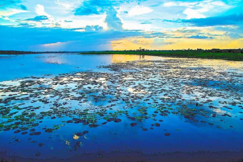
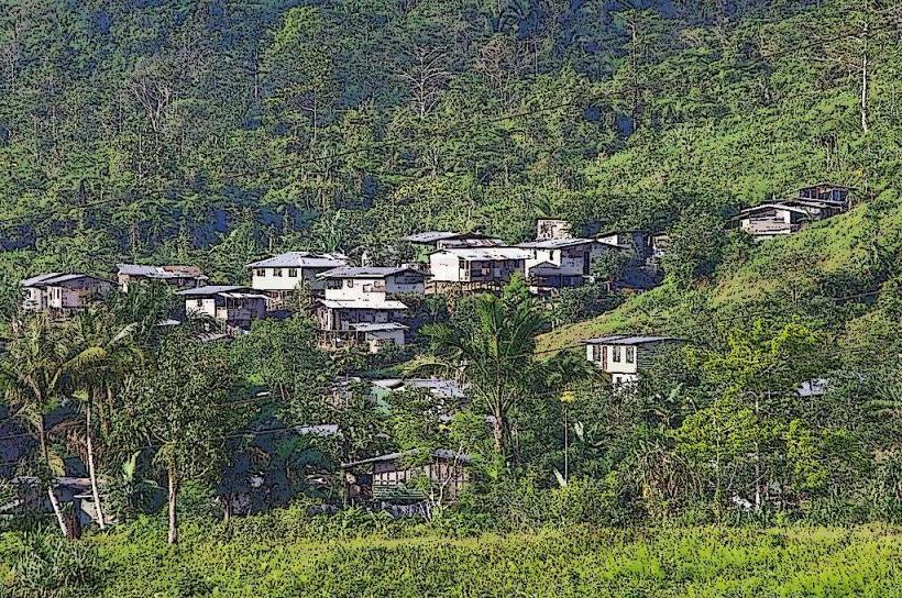
The valley floor is characterized by fertile soil, supporting agricultural terraces and scattered villages. The surrounding landscape is dominated by steep, jungle-covered mountains. River systems, such as the Baliem River, traverse the valley, with water color varying from clear to muddy depending on rainfall and sediment load. Vegetation is dense, comprising tropical rainforest species.
Location & Access Logistics
The Baliem Valley is situated in the central highlands of Papua, Indonesia. The primary access point is Wamena, a town within the valley. Wamena can be reached by air via Wamena Airport (WMX), with flights typically originating from Jayapura (DJJ). Road access into the valley is limited and often challenging. From Wamena, local transportation includes motorcycles (ojek) and four-wheel-drive vehicles for travel to surrounding villages and points of interest. Public transport within the valley is rudimentary, relying on shared taxis or chartered vehicles.
Historical & Ecological Origin
The Baliem Valley is an ecological basin formed by tectonic activity and erosion over geological time. Its isolation has preserved unique indigenous cultures, including the Dani, Lani, and Yali peoples, who have inhabited the valley for millennia. Archaeological evidence suggests human presence dating back thousands of years. The valley's ecosystem is a montane tropical rainforest, supporting a diverse range of flora and fauna.
Key Highlights & Activities
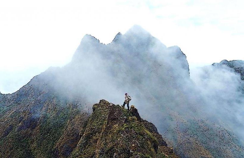
Activities include visiting traditional Dani villages to observe their agricultural practices and social structures. Cultural performances, such as mock warfare demonstrations, are sometimes arranged. Trekking through the valley and surrounding highlands is possible, with established trails connecting various settlements. Birdwatching is a notable activity due to the region's biodiversity. Photography of the landscape and local inhabitants is common.
Infrastructure & Amenities
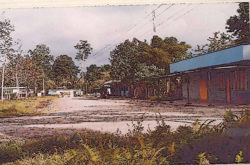
Wamena offers basic tourist infrastructure, including guesthouses and limited dining options. Restrooms are available in guesthouses and some public areas in Wamena. Cell phone signal (primarily 2G/3G) is inconsistent outside of Wamena. Shade is abundant in forested areas. Food vendors are present in Wamena's market.
Best Time to Visit
The dry season, from May to September, is generally considered the best time to visit for more predictable weather and easier travel. The best time of day for photography is typically morning and late afternoon, when the sun angle provides softer light and accentuates the landscape's contours. There are no specific tide requirements as the valley is landlocked.
Facts & Legends
A unique aspect of Dani culture is the practice of koteka, a penis gourd worn by men. Legends speak of the valley being a place where spirits reside, and certain areas are considered sacred by local communities. A specific tip for visitors is to arrange transportation and guides in advance through reputable local operators in Wamena to ensure smoother logistics and cultural sensitivity.
Nearby Landmarks
- Kurulu ( Kurulu Village) - 10km North
- Wouma (Traditional Village) - 5km South
- Jiwika (Dani Village) - 8km West
- Lake Habbema - 25km East