Information
Landmark: Ballou ParkCity: Danville
Country: USA Virginia
Continent: North America
Ballou Park, Danville, USA Virginia, North America
Ballou Park is a municipal park located in Danville, Virginia, USA.
It encompasses 100 acres of developed and natural space.
Visual Characteristics
The park features a central lake, approximately 15 acres in surface area, with a maximum depth of 12 feet. Surrounding the lake are mature deciduous trees, primarily oak and maple species, providing a canopy cover estimated at 70% during summer months. Open grassy areas constitute the remaining 30% of the park's landscape. Paved walking paths, 8 feet wide, traverse the park's perimeter and connect key features.
Location & Access Logistics
Ballou Park is situated 3 miles southwest of Danville's central business district. Access is via Main Street (US-58 Business) turning onto Franklin Turnpike (SR-40). The park entrance is clearly marked. Ample parking is available in two designated lots, with a combined capacity of 200 vehicles. Public transport is served by Danville Transit bus route #3, with a stop located at the park's main entrance on Franklin Turnpike.
Historical & Ecological Origin
The park was established in 1935 through a land donation by the Ballou family. The primary purpose was to provide recreational space for the citizens of Danville. Ecologically, the area is part of the Piedmont region, characterized by rolling hills and mixed hardwood forests. The lake was artificially created through damming a small tributary of the Dan River.
Key Highlights & Activities
Activities include fishing in the lake (Virginia fishing license required), picnicking at designated tables, and walking or jogging on the paved trails. A playground area is located on the western side of the park. Birdwatching is a common activity due to the diverse avian population.
Infrastructure & Amenities
Restrooms are available in a central building near the main parking lot. Several covered picnic shelters are distributed throughout the park. Shade is provided by mature trees in most areas. Cell phone signal (4G) is generally consistent within the park. No on-site food vendors operate within the park; however, convenience stores are located approximately 1 mile north on Main Street.
Best Time to Visit
For photography, early morning (7:00 AM - 9:00 AM) offers favorable lighting conditions with fewer shadows. The months of April through October provide the most pleasant weather for outdoor activities. The lake is accessible for fishing year-round.
Facts & Legends
A local anecdote suggests that the lake's deepest point is rumored to be a former well, though no geological evidence supports this claim. The park's original design included a small zoo, which was operational until the late 1950s.
Nearby Landmarks
- Danville Science Center (2.5km Northeast)
- Piedmont Arts (3.0km Northeast)
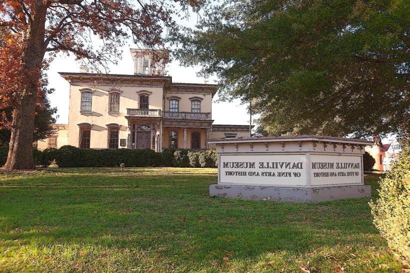
- Danville Museum of Fine Arts & History (3.2km Northeast)
- Sutherlin Mansion (3.5km Northeast)