Landmark: Bamenda Highlands
City: Bamenda
Country: Cameroon
Continent: Africa
Bamenda Highlands, Bamenda, Cameroon, Africa
The Bamenda Highlands are a mountainous region located in the Northwest Region of Cameroon, centered around the city of Bamenda.
This area is characterized by its elevated terrain, volcanic origins, and distinct climate compared to the surrounding lowlands.
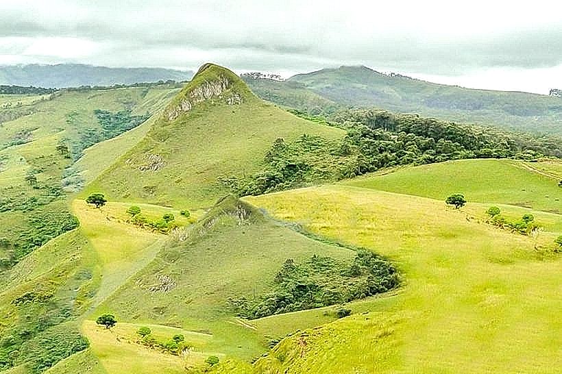
Visual Characteristics
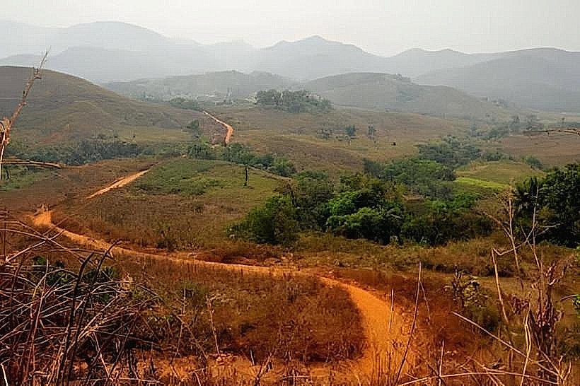
The landscape consists of rolling hills and steep escarpments, with elevations ranging from approximately 1,200 to 2,000 meters above sea level. The dominant geological formations are ancient volcanic rocks, often covered by dense savanna vegetation and patches of montane forest. Colors vary seasonally, with greens prevalent during the wet season and browns and yellows during the dry season. Numerous streams and small rivers carve through the terrain.
Location & Access Logistics
Bamenda is accessible via the Trans-African Highway 6 (N1) from Yaoundé (approximately 350 km southeast) and from Nigeria to the northwest. The city of Bamenda serves as the primary hub for accessing the highlands. Within Bamenda, local taxis and motorbike taxis are available. Access to specific points within the highlands often requires four-wheel-drive vehicles due to unpaved and sometimes rough tracks. Public transport to Bamenda includes intercity buses from major Cameroonian cities.
Historical & Ecological Origin
The Bamenda Highlands are part of the Cameroon Volcanic Line, a chain of volcanoes extending from the Atlantic Ocean into the continent. Their formation is attributed to volcanic activity dating back millions of years. Ecologically, the region supports a unique montane ecosystem adapted to higher altitudes and cooler temperatures, distinct from the tropical rainforests found at lower elevations.
Key Highlights & Activities
Hiking is a primary activity, with trails leading to viewpoints and through forested areas. Birdwatching is possible due to the diverse avian population. Visiting local villages to observe traditional life and agricultural practices is also a common activity. Photography opportunities exist at sunrise and sunset, particularly from elevated positions.
Infrastructure & Amenities
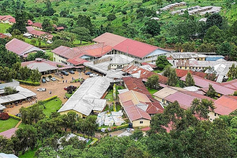
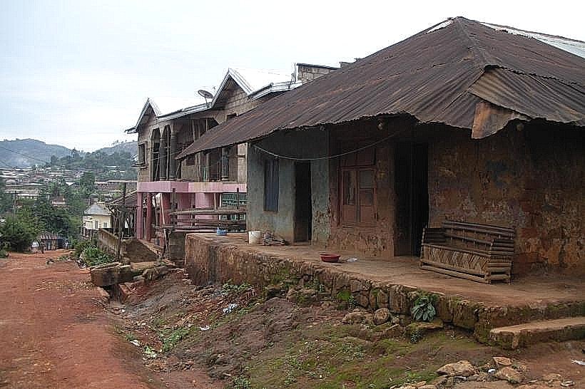
Basic amenities are available in Bamenda, including hotels, restaurants, and markets. Within the highlands themselves, infrastructure is minimal. Restrooms are generally not available outside of villages or designated stops. Shade is provided by natural tree cover in forested areas. Cell phone signal (2G/3G) can be intermittent in more remote highland sections.
Best Time to Visit
The dry season, from November to March, offers clearer skies and more stable weather for outdoor activities. The best time of day for photography is typically early morning or late afternoon when the sun's angle creates longer shadows and softer light. High tide or low tide is not a relevant consideration for this inland highland region.
Facts & Legends
Local folklore speaks of spirits inhabiting the higher peaks, influencing weather patterns. A specific geological feature, the "Mankon Caves," is rumored to have been used as a refuge during historical conflicts, though access is difficult and unguided exploration is not recommended.
Nearby Landmarks
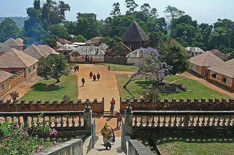
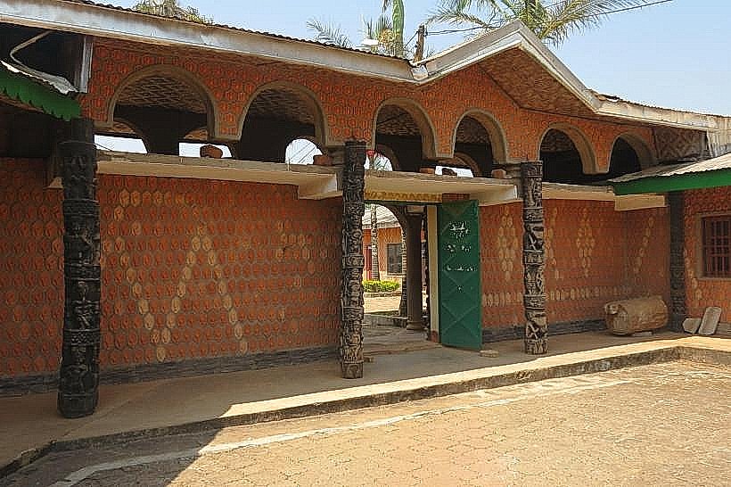
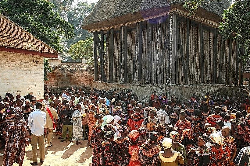
- Mankon Palace (1.5km West)
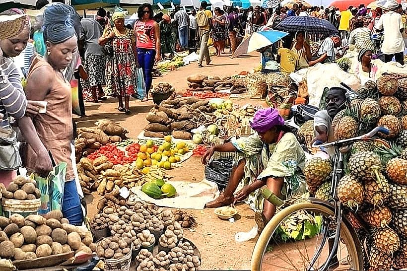
- Bamenda Central Market (2.0km Southwest)
- Mount Bamboutos (approx. 30km West)
- Lake Bambili (approx. 10km North)