Landmark: Bamenda Ring Road
City: Bamenda
Country: Cameroon
Continent: Africa
Bamenda Ring Road, Bamenda, Cameroon, Africa
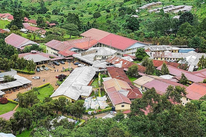
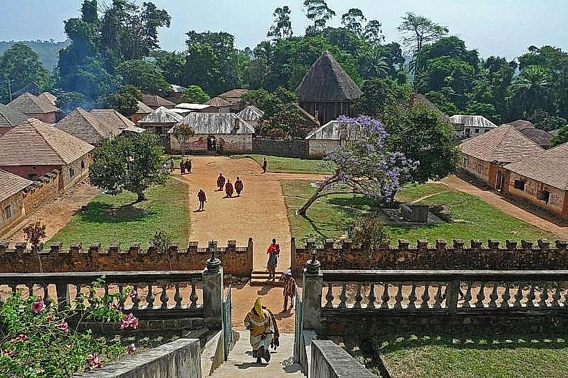
The Bamenda Ring Road is a significant transportation artery encircling the city of Bamenda in the Northwest Region of Cameroon.
This road network serves as a primary route for local commerce and regional connectivity.
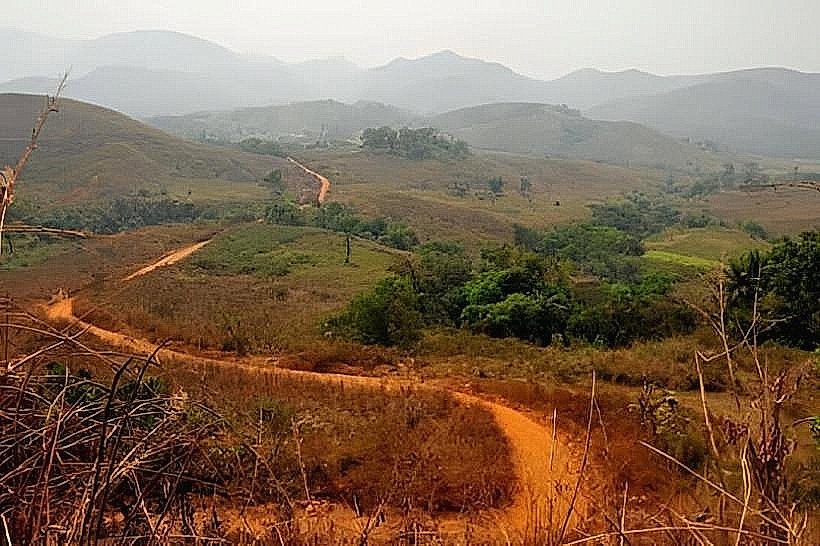
Visual Characteristics
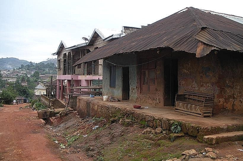
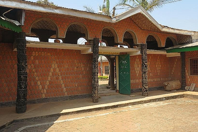
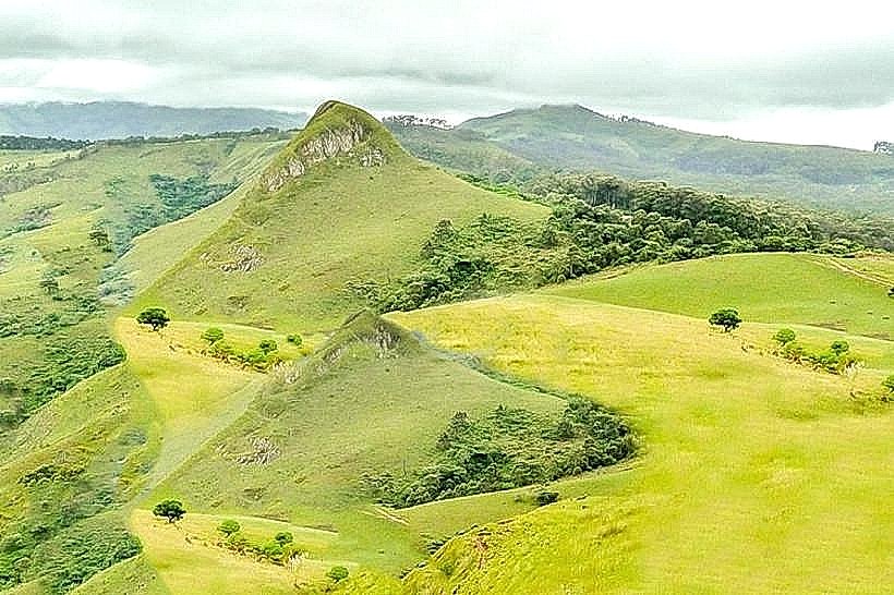
The road surface varies, with sections paved with asphalt and others consisting of compacted earth or gravel. The surrounding terrain is characterized by rolling hills and agricultural land, with occasional patches of dense forest. The elevation changes along the route, with some sections offering expansive views of the valley below.
Location & Access Logistics
The Bamenda Ring Road is located within a 10km radius of Bamenda's city center. Access is direct from the N16 highway, which connects to Bamenda. Parking is generally available along the roadside in designated pull-off areas, particularly near villages and markets. Public transport primarily consists of shared taxis and minibuses operating on fixed routes along the ring road.
Historical & Ecological Origin
The construction of the Bamenda Ring Road was initiated in phases, with significant development occurring in the late 20th century to improve infrastructure in the region. Its purpose was to facilitate the transport of agricultural produce and connect remote communities to the provincial capital. The region's ecology is characterized by a tropical savanna climate with distinct wet and dry seasons, supporting diverse vegetation.
Key Highlights & Activities
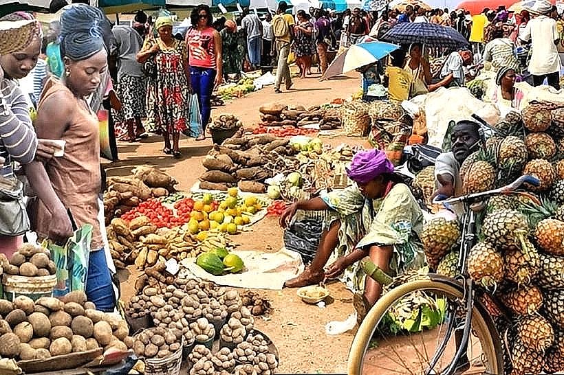
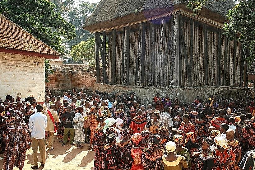
Travelers can observe local agricultural practices, including farming of crops such as maize, beans, and yams. Opportunities exist for visiting local markets in villages along the route. Photography of the rural landscape and community life is possible. Certain sections of the road are suitable for cycling, provided appropriate safety precautions are taken.
Infrastructure & Amenities
Restroom facilities are limited and primarily found in larger villages or at designated rest stops. Shade is provided by natural tree cover in some areas. Cell phone signal (2G/3G) is generally available in proximity to villages, but can be intermittent in more remote sections. Food vendors selling local snacks and drinks are present in market areas.
Best Time to Visit
The dry season, from November to March, offers the most favorable conditions for travel due to reduced rainfall and improved road surface conditions. The late afternoon provides softer lighting for landscape photography. High tide is not a relevant factor for this land-based landmark.
Facts & Legends
A local belief suggests that certain ancient trees situated near the road possess protective spirits, and travelers are advised to show respect when passing them. The road's construction faced challenges due to the hilly terrain and seasonal flooding of smaller tributaries.
Nearby Landmarks
- Bamenda City Center (2km West)
- Mount Bamboutos National Park (25km Southwest)
- Sabga Hill (15km North)
- Kumbo Town (60km Northeast)